County: Merseyside, England
Name of high point and height : Billinge Hill 587ft (179m)
Date completed: April 14th 2024
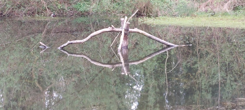
I decided to do a local walk today, the Billinge Loop Trail, a circular route of approximately 9 miles devised by the St Helens Ranger Service. The walk starts at Sankey Valley Heritage Visitor Centre close to St Helens (Postcode WA11 0AB). The route follows the footpath from the visitor centre to Carr Mill Dam, passing some lovely ponds where the reflections were definitely worth taking photos today.
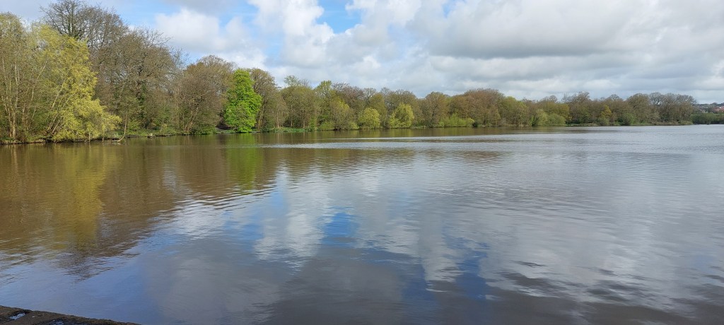
Carr Mill Dam was used to power the industrial mills of the Gerard Estate before being used as a headwater for the St Helens Canal in the 1700s
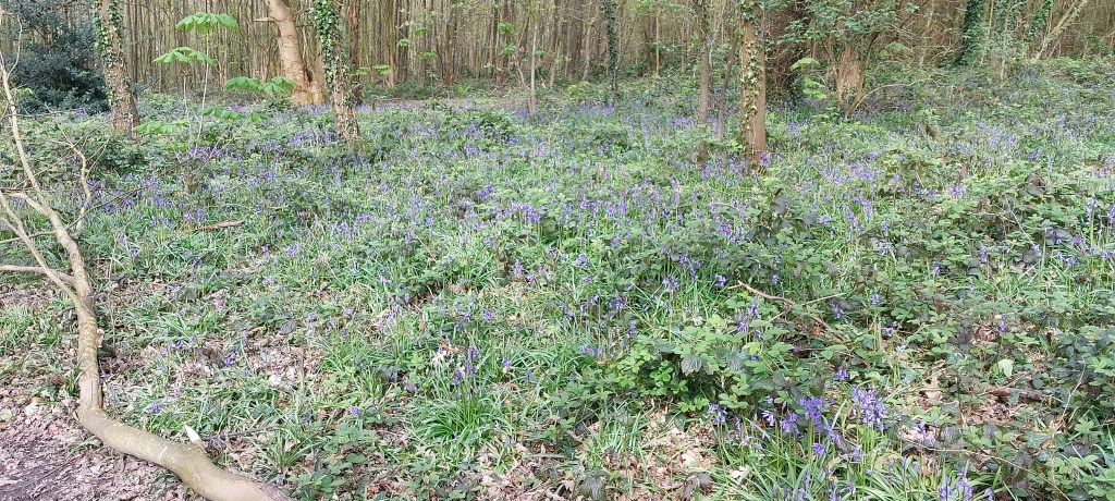
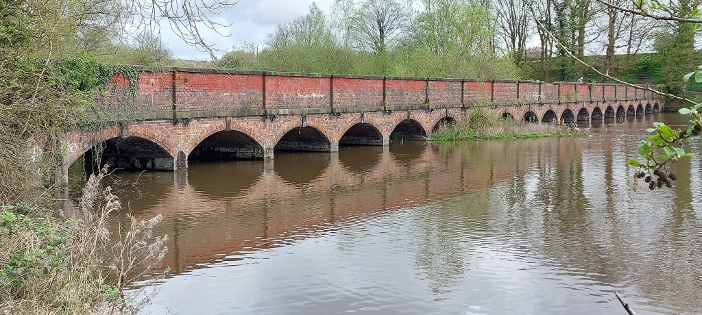
I then took the path which follows the west side of the Dam as far as the northern end to the Nineteen Arches Bridge, going through pretty woodland where the bluebells were in abundance.
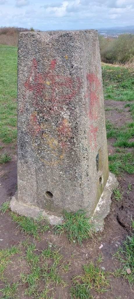
Following a bridleway and crossing a few fields, I reached the main Rainford Road turning right to go uphill to Red Barn Road before following a public footpath heading uphill to the old Billinge Quarry access road. A short walk took me to the summit of Billinge Hill where I had the obligatory photo taken.
Billinge Hill or Billinge Lump as it is also known is 587ft (179m) and is the highest point in the county of Merseyside.
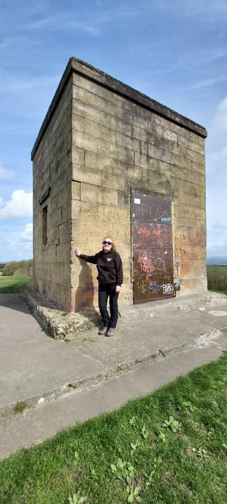
The Beacon building was built in 1788 as a landmark for ships and used as a summerhouse by Winstanley Hall. It was also used to monitor aircraft in WW2
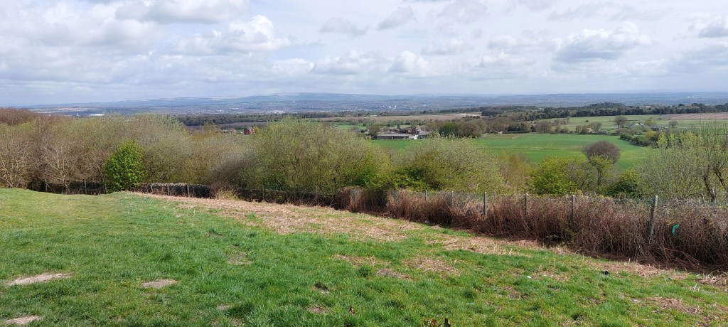
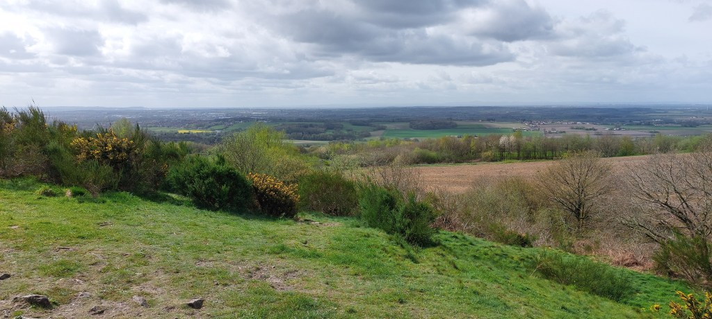
On a clear day, as it was today there were great views of SW Lancashire, North Wales, the Peak district and Winter hill.
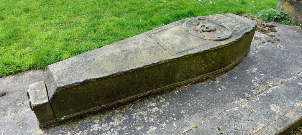
I then followed the old quarry road downhill, taking a footpath to a road before reaching Main Street in Billinge coming out opposite St Aidan’s Church. The graveyard has an interesting if not macabre ‘coffin shaped’ grave with a skull and a winged serpent on it which dates back to 1720. It’s the grave of George and Kitty Smith and rumour has it that the couple died after being bitten by snakes on Billinge Hill. Luckily, I didn’t see any snakes today!!
After leaving the graveyard I then headed east along Newton Road before taking a vehicle track towards a farm. It would be easy to take the wrong path at this point. St Helens can be seen in the distance as the path passes the ‘Blue Hills’ old colliery spoil heap before entering the pretty Goyt woodland. It’s a lovely walk through the woodland over a series of boardwalks over streams and tributaries. Arriving back at Carr Mill Dam, I continued back through Sankey Valley Country Park spotting a heron in the river looking for it’s dinner. I took a slight detour to see the ruins of Stanley Mill before returning to my car at the Visitor Centre.
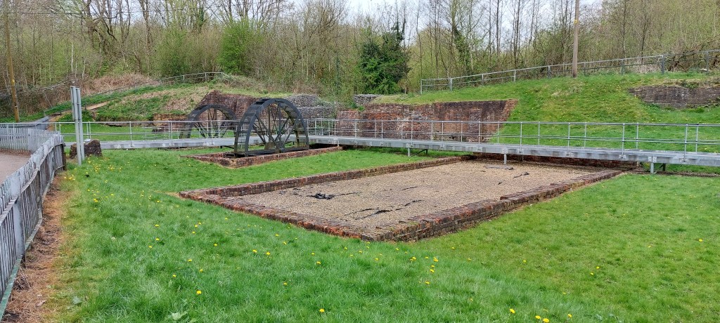
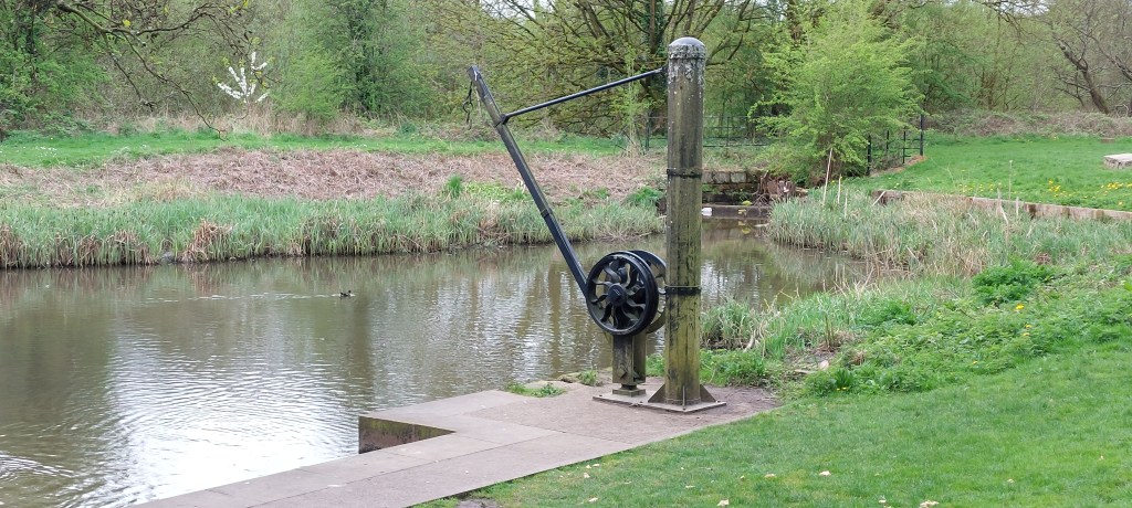
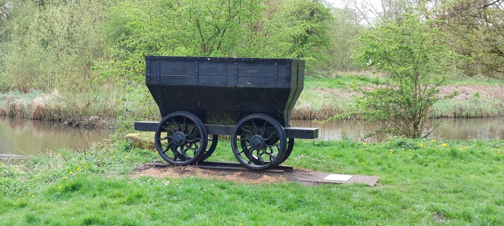
In the late 18th Century Stanley Bank was important for local industry and the site of a former iron slitting mill and later a corn mill which helped to develop the town of St Helens. You can wander round the site to find out more about the areas industrial heritage where the mill remains can be seen along with the reconstructed water wheels.
This was an enjoyable walk with good weather for a change and not too much mud!!

Leave a comment