County: Rutland
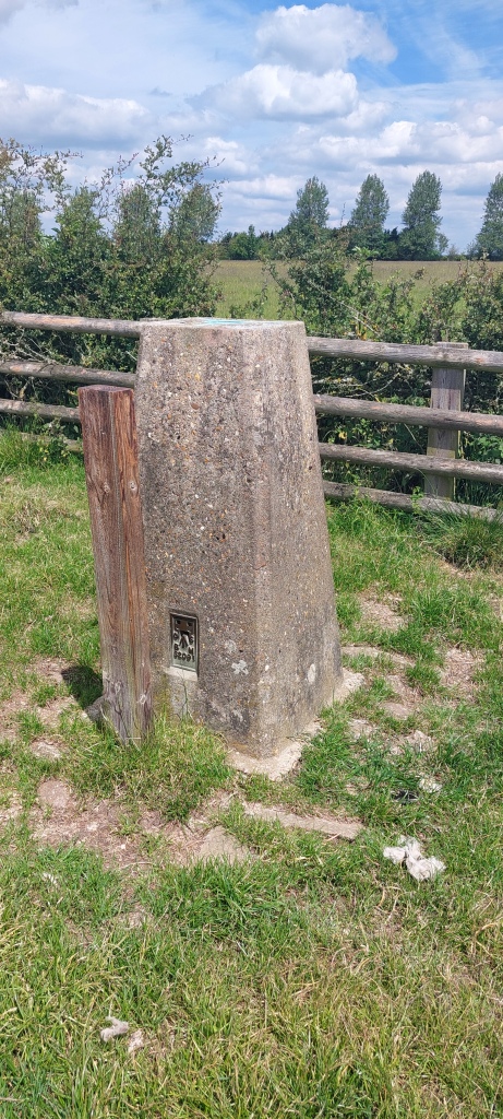
Name of High Point: Cold Overton Park 197m (646ft)
Date completed: June 20th 2024
Whilst I was in the area visiting Rutland Water and seeing the wonderful work that the Leicestershire and Rutland Wildlife trust do with the Osprey Project, it seemed fitting to climb the highest peak of the smallest county in England. It’s located near the town of Oakham, so I found a good circular walk that would take me to the trig point at the dizzying height of just under 200m – a breeze compared to Scafell Pike earlier in the month!!
This time I used OS maps where the route was recorded plus the written instructions taken from the Internet.
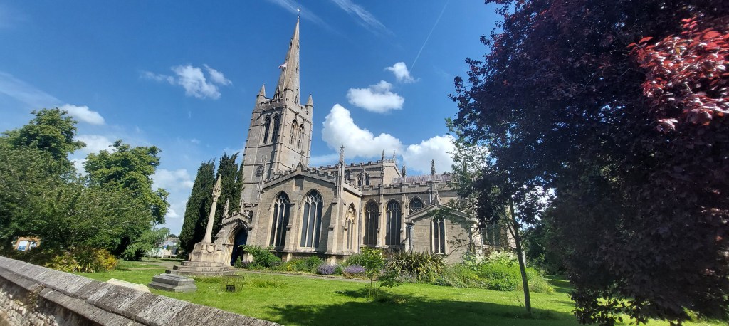
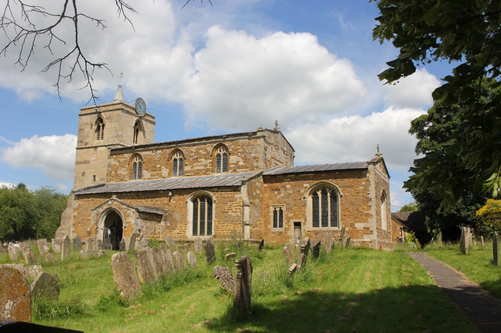
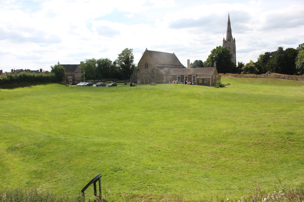
I parked the car in the long stay car park by Oakham Castle and made my way to the railway station and the start of the walk down a pretty residential street with All Saints parish church at the end.
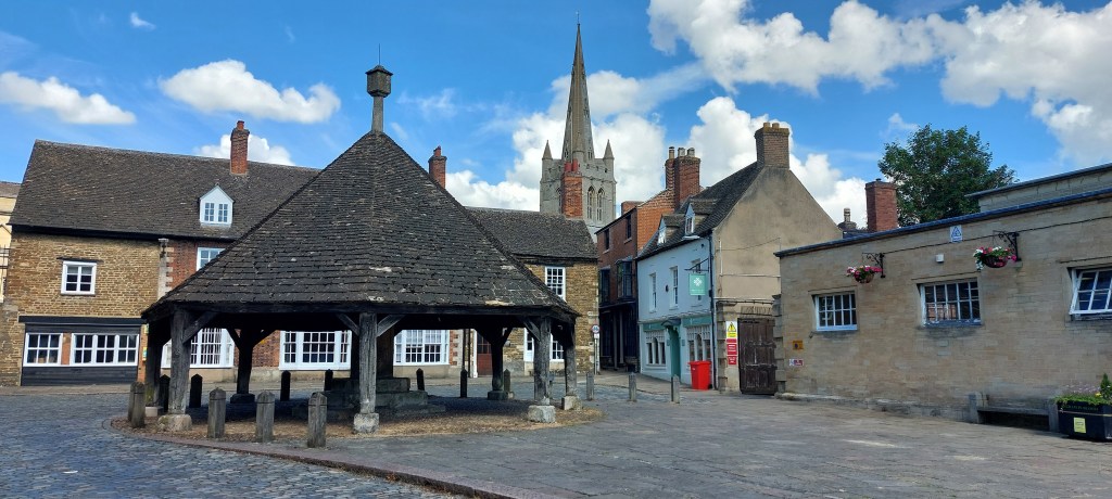
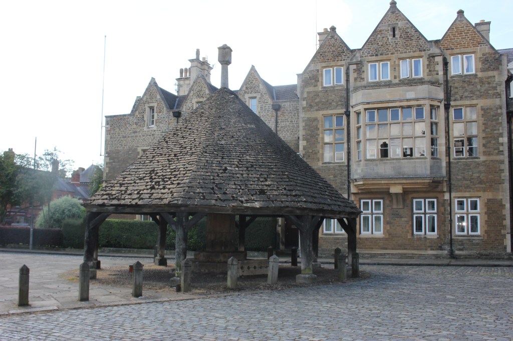
At the side of the church there is a footpath which comes out into the square where there is a wooden shelter called the Butter Cross. A buttercross is a type of market cross, which is often associated with English market towns. In Oakham, it used to be a hub, where people both from Oakham and the surrounding villages used to gather, selling their goods and produce. It is an octagonal structure with a pyramidal roof and stocks.
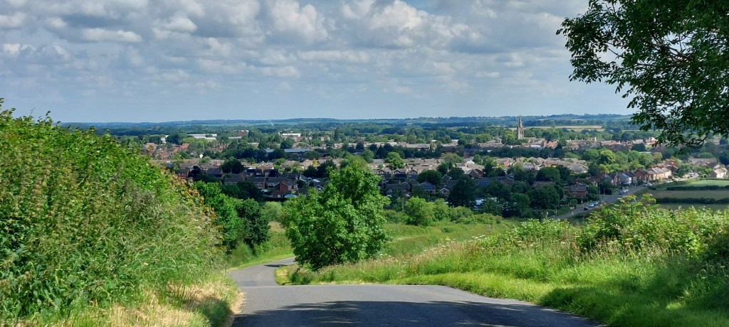
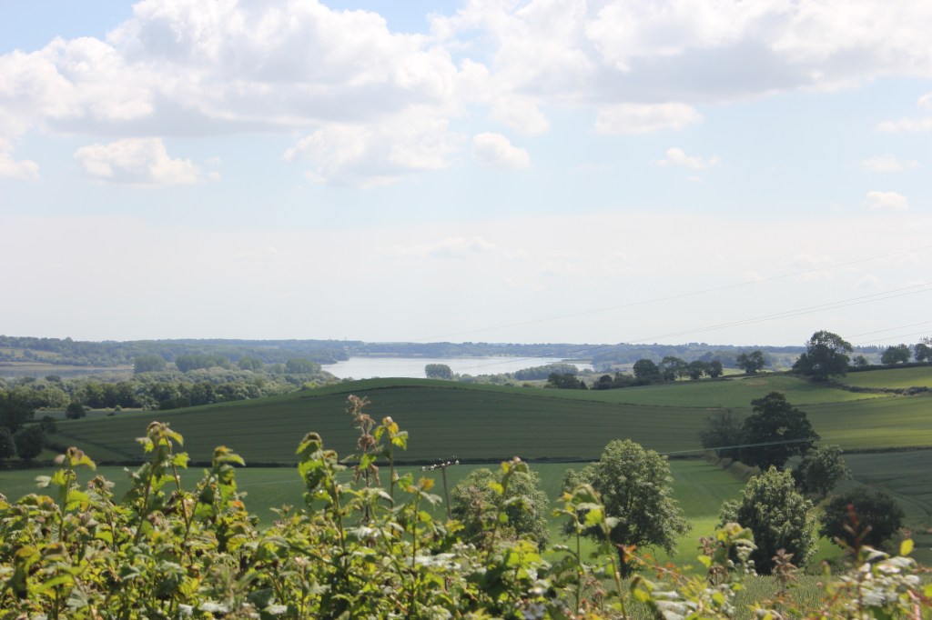
I left Oakham town centre and made my way over a level crossing into a residential area, turning left along Brooke road which took me to the edge of Oakham and uphill with good views behind me of Oakham and Rutland Water to the side
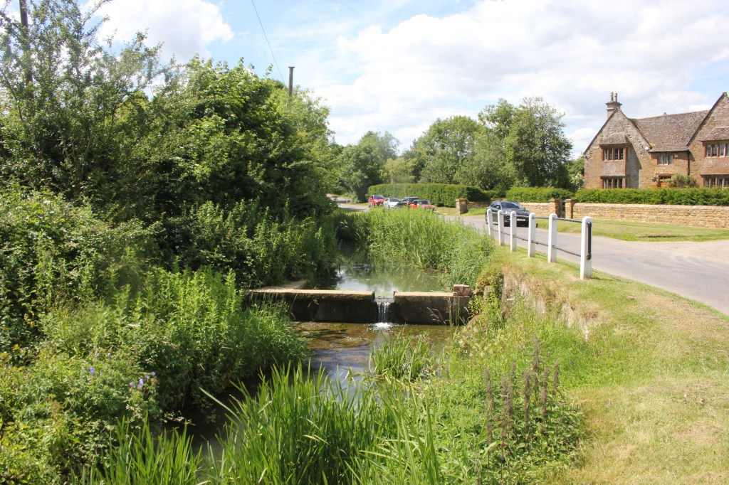
I got to the top of the hill and made my way down the other side, crossing the River Gwash past a farmhouse and taking a footpath to the right into the field. This was a good coffee stop, especially after the uphill section.
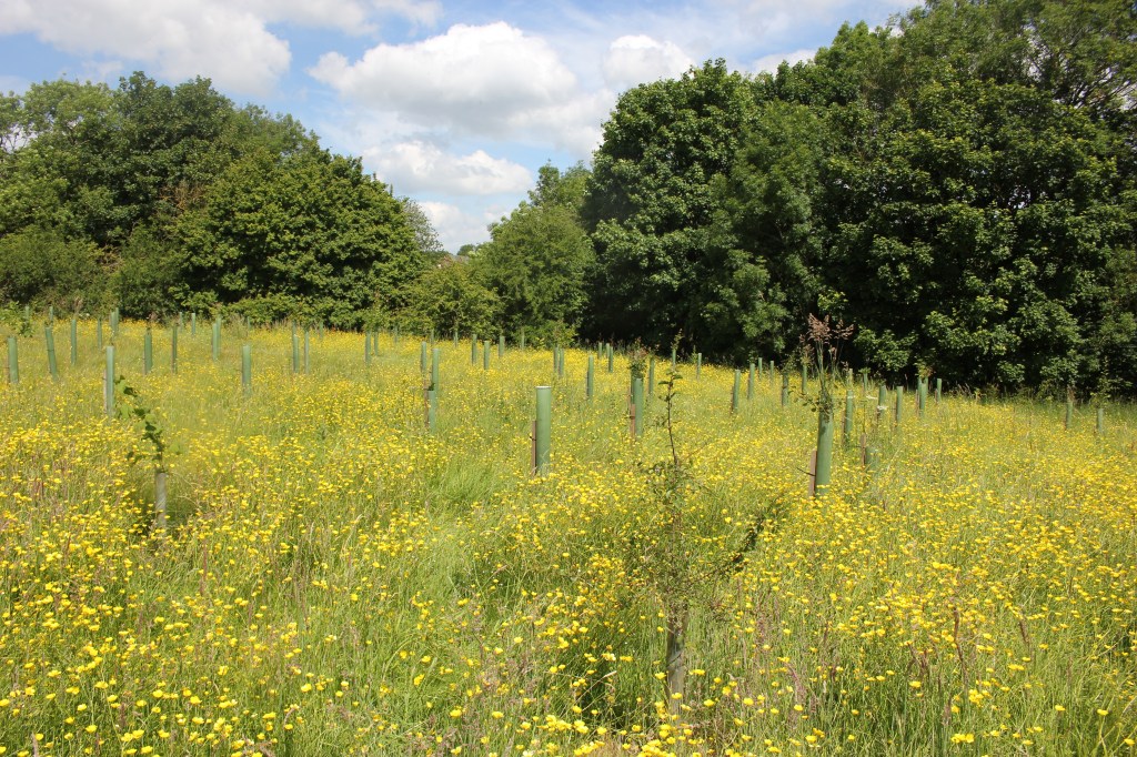
The route continued through the fields and crossing a footbridge over the River Gwash, across a green lane before another field with some beautiful horses in to a stile on the far side. I walked through a few fields one with some newly planted trees and a gorgeous meadow.
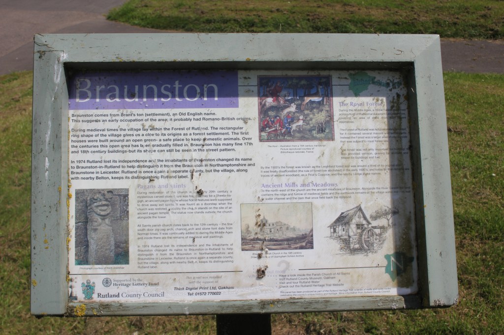
The path continued past some houses into the village of Braunston, where I ended up opposite the church and the village green which was very pretty.
I walked through the village to the main road before finding a bridleway on the right which I followed for quite a while uphill before coming out close to Cold Overton Park Hill. I walked across another meadow into another field and some trees onto another bridleway.
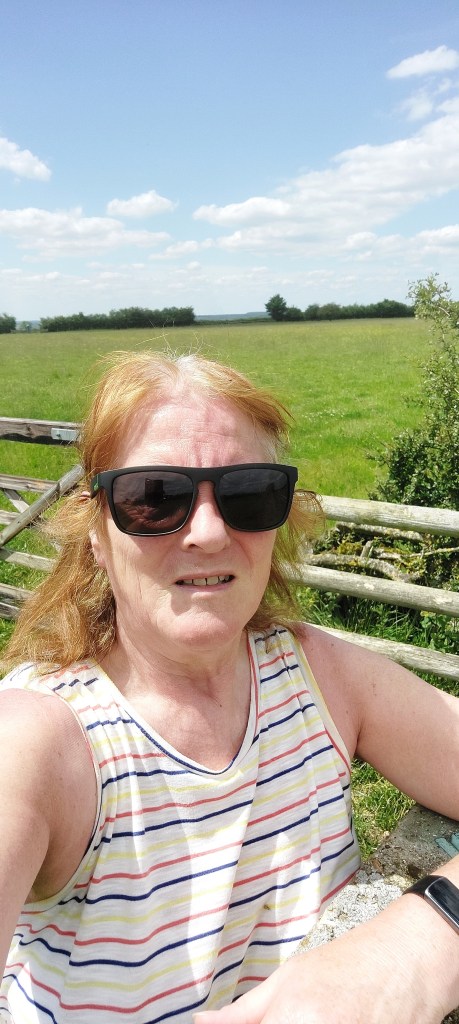
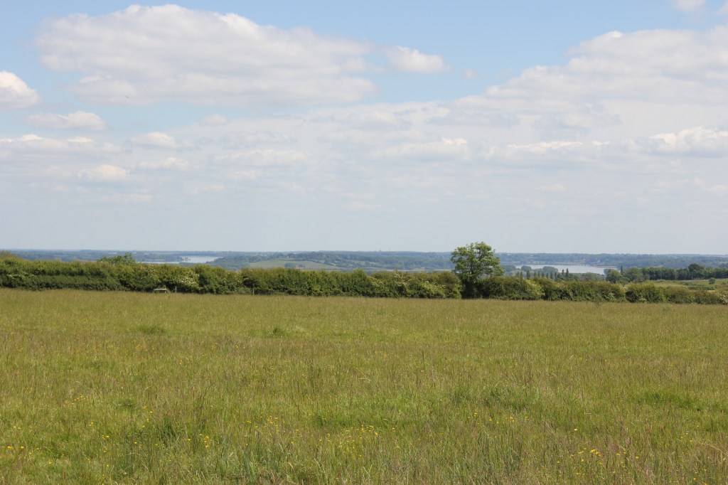
The views were quite impressive here and I could see Lincolnshire and East Anglia in the distance. I did go off course a bit to find the trig point at the highest point but soon realised where it was. I took the obligatory photos at the top and as there was nobody else around, I had to be content with a ‘selfie’ to prove I’d been at the trig point. Not one of my better photos!! (it was hot and I was sweaty!!)
I stopped near here for lunch, enjoying the views before making my way along a track by some farm buildings and passing the radio mast, down a track before crossing the main road and down a public road towards the village of Barleythorpe passing good views of Oakham and Rutland Water again.
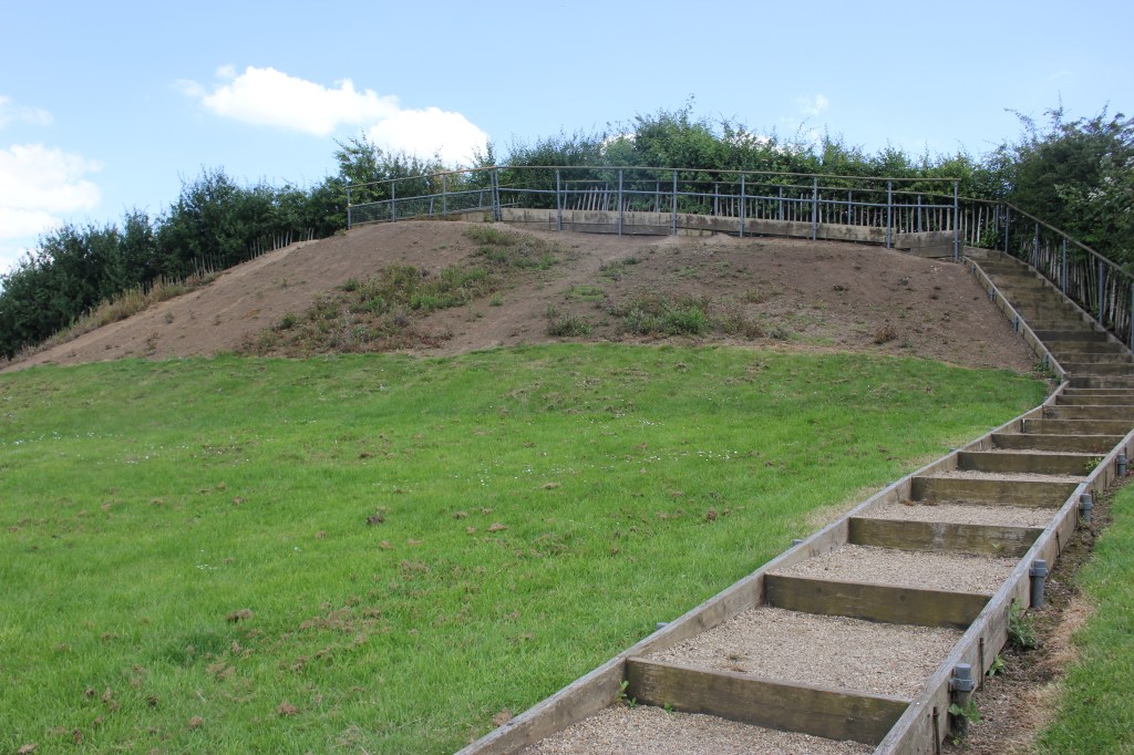
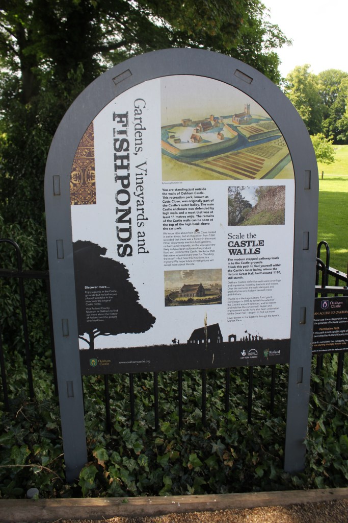
I was soon at the main road back into Oakham and the end of the walk. I had a look around Oakham Castle while I was there.
A very enjoyable walk in beautiful sunshine and another county high point ticked off .

Leave a reply to EJ Blogs Cancel reply