County: Derbyshire (The Peak District)
Name of high point: Kinder Scout 636m (2087ft) Kinder Low 633m (2077ft)
Date completed: July 15th 2024
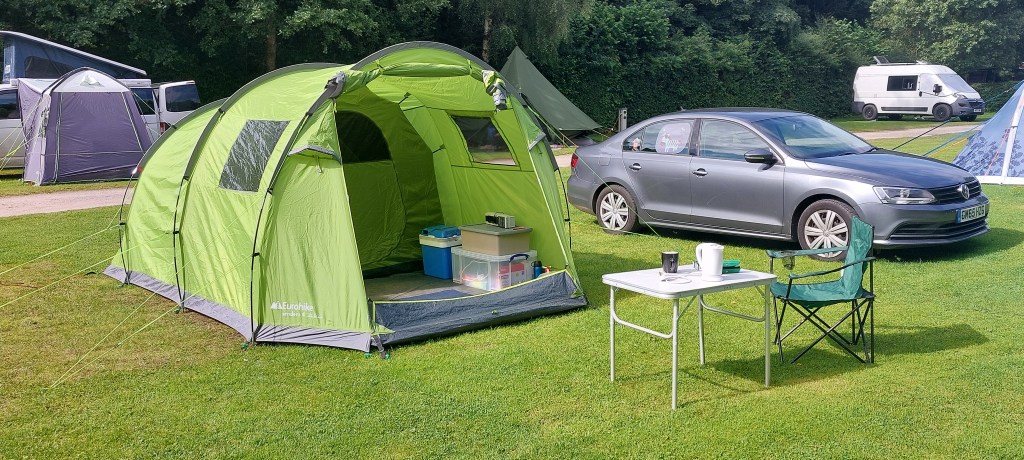
I decided to take advantage of a rare decent weather forecast (the summer had been so disappointing up to that point) and camp at Hayfield in Derbyshire where I could walk from the campsite up Kinder Scout and maybe even have a decent view from the top!
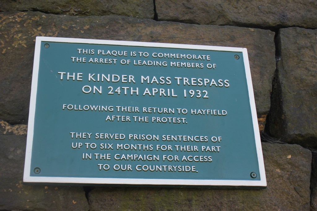
Kinder Scout forms part of the Pennine Way and can be accessed from either Hayfield or Edale. I walked from the campsite in Hayfield but Bowden Bridge Car Park is an alternative start point opposite the entrance to the campsite. In 1932 when this was a quarry, there was the first ever mass trespass of 500 walkers, a campaign to raise awareness of how walkers were being denied access to open country. The event secured all of us access to freely roam and explore the countryside. (Yippee and I for one will be eternally grateful !!)
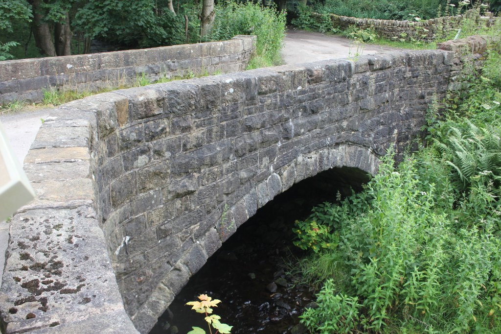
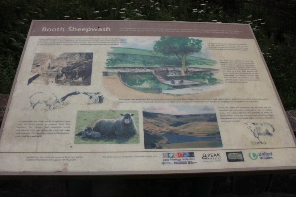
From the campsite entrance I turned right and walked along the road for a while, crossing a packhorse bridge and sheep wash to then join a footpath on the left which followed the River Kinder
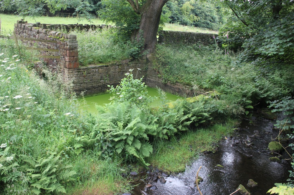
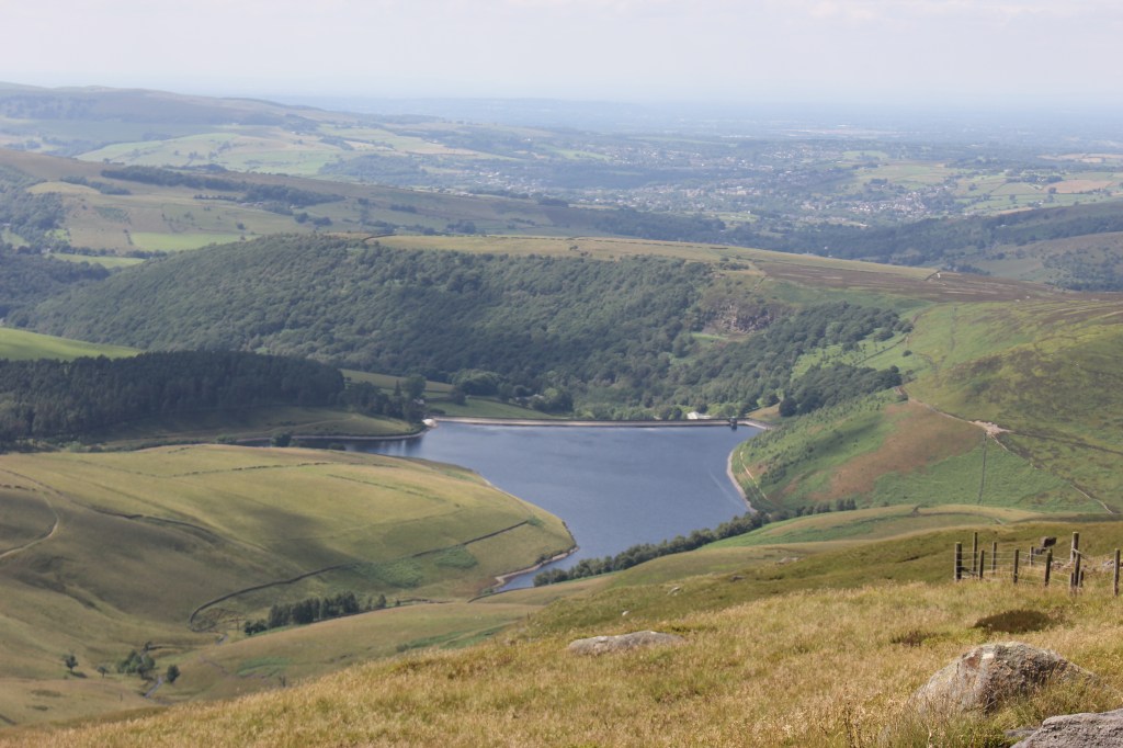
This footpath crossed a metal bridge and came out on a lane, almost straightaway after turning right onto the lane the path forked left and went steeply uphill continuing up and past Kinder Reservoir.
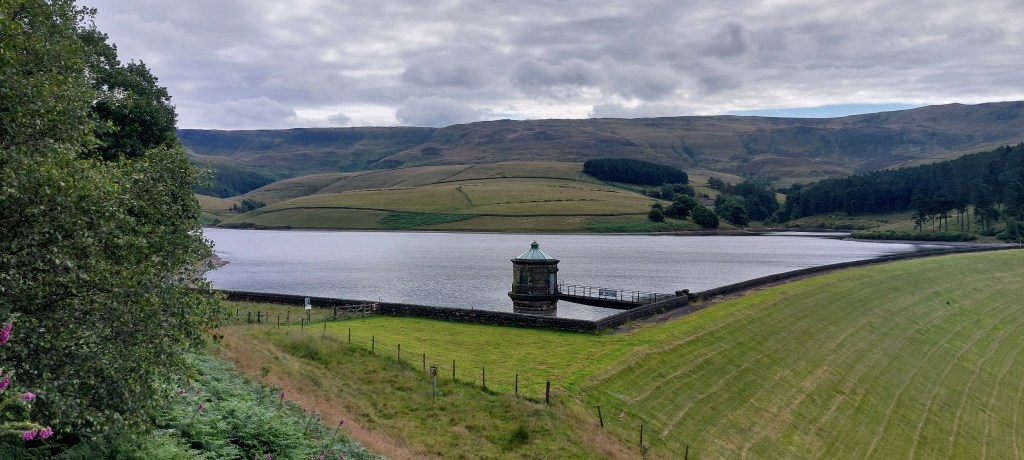
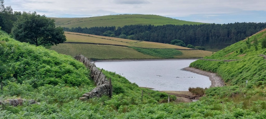
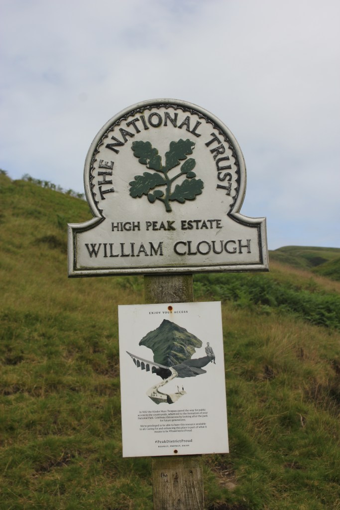
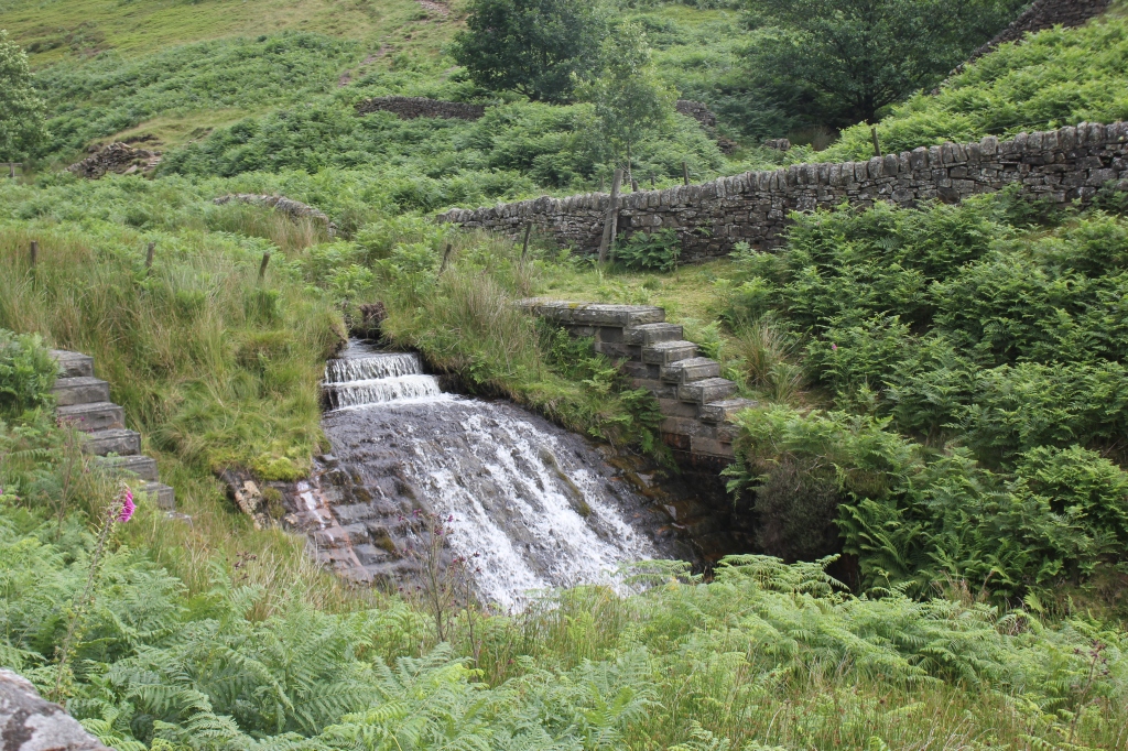
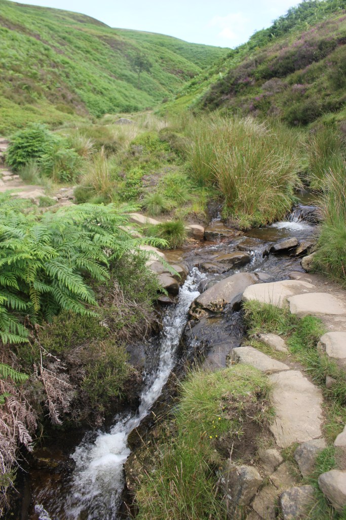
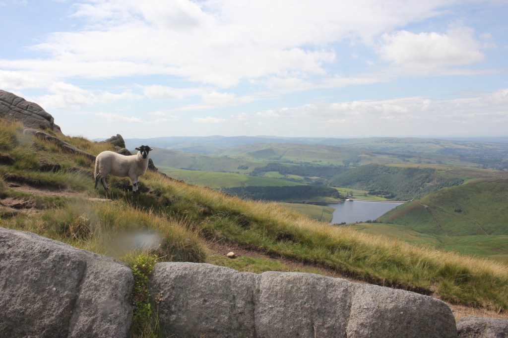
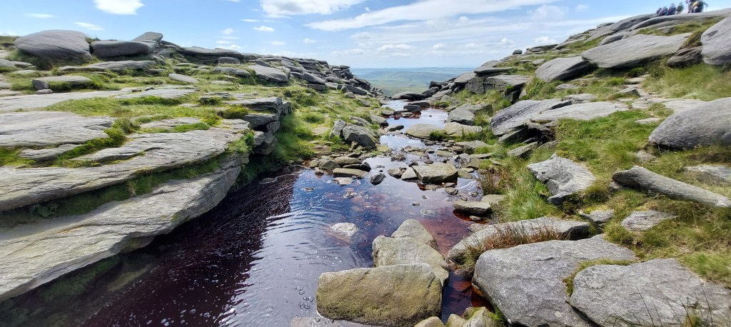
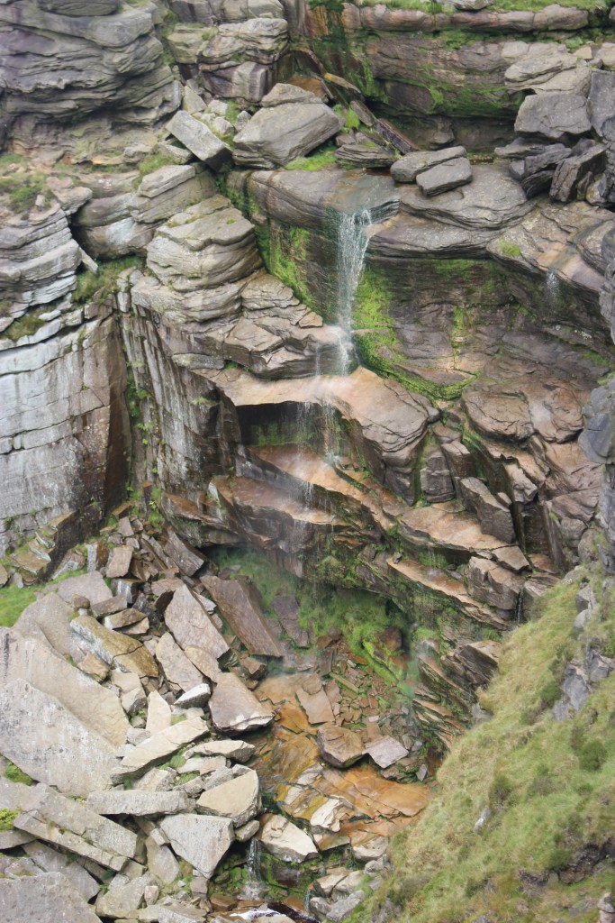
At the end of the reservoir, the path split. I followed the left hand path past the National Trust sign for William Clough (named after a local cutler and blacksmith) and walked uphill continually crossing and recrossing the stream over a series of waterfalls. The stream cuts through the moorland peat exposing the shale and gritstone making it a very pretty walk with heather everywhere. The sheep were also very friendly.
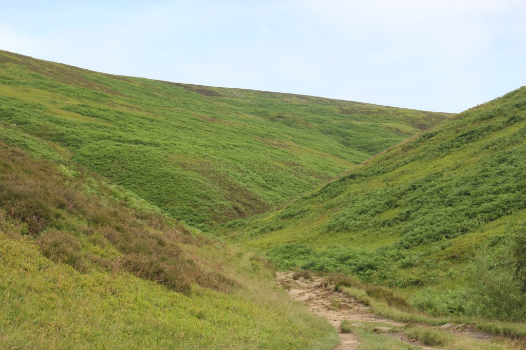

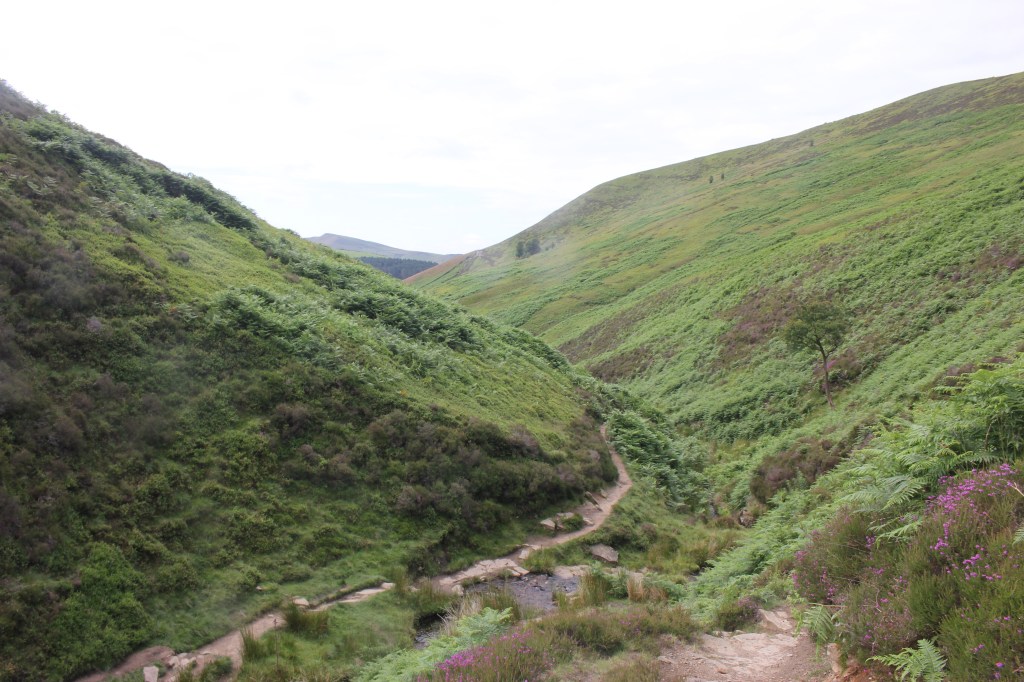
There were a few people also doing a similar route to me so it was a good excuse to stop for a chat on the way uphill to get my breath back and a coffee break was also welcome. Onwards and upwards and a flight of stone flagged steps took me to the top of the Clough where I turned right following the path uphill and another steep climb on the Pennine Way to bring me out on the Kinder Plateau. At least that was the last of the uphill section!
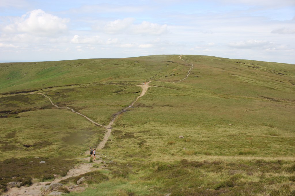
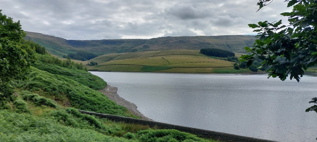
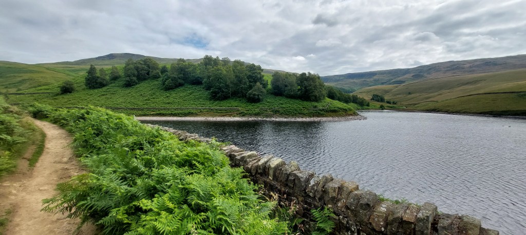
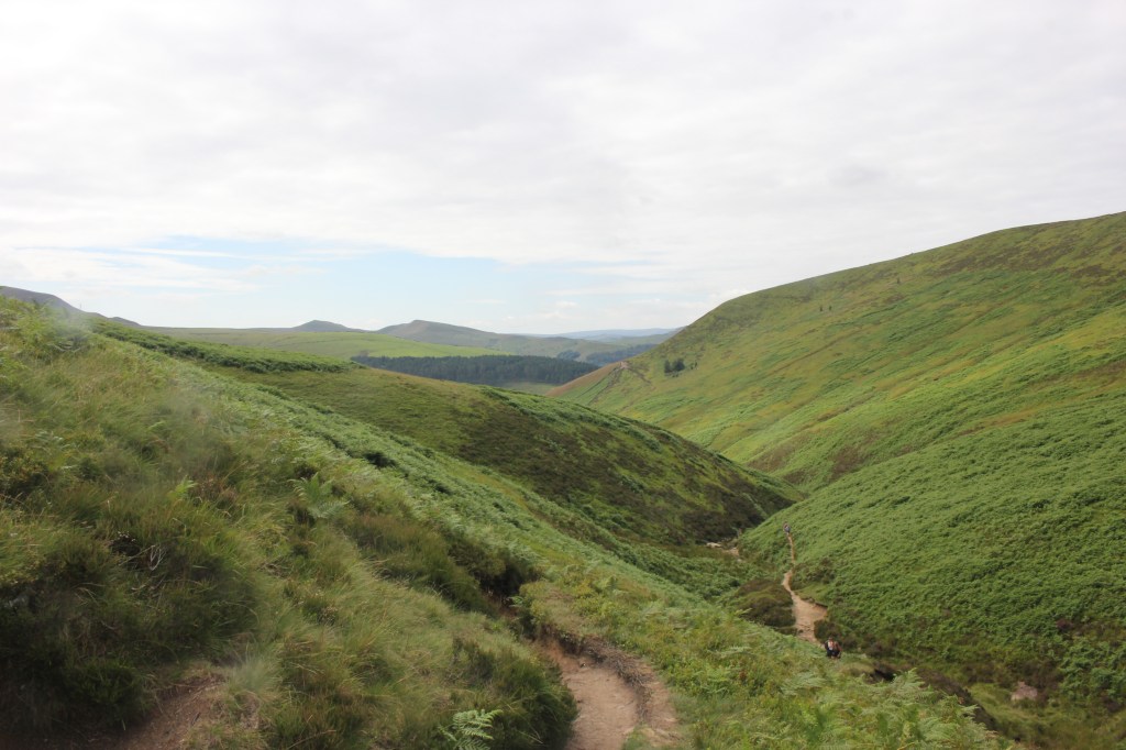
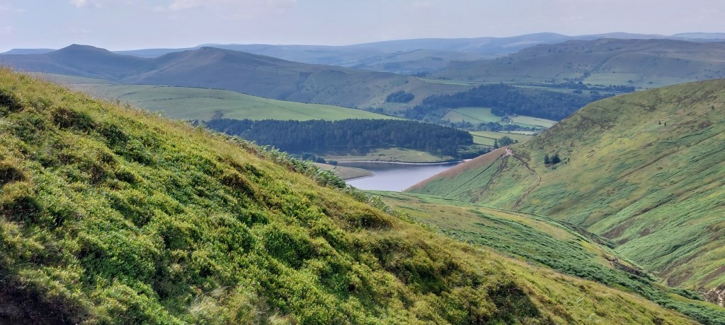
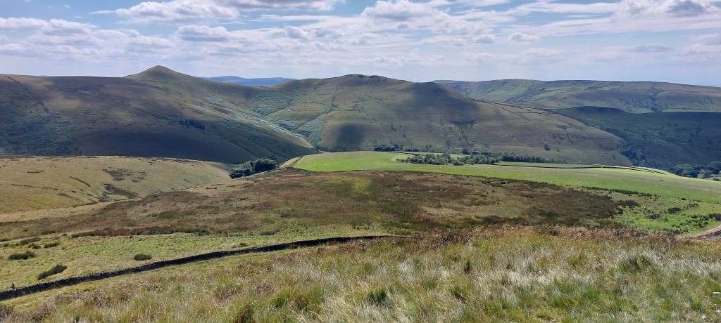
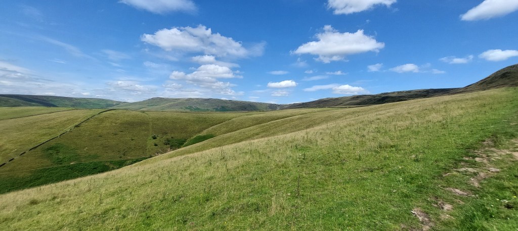
I followed the Pennine Way on the Western Edge of the Plateau for just over 3 miles and the clear conditions gave me some fantastic views across to Kinder Reservoir and Hayfield where I also decided to stop for lunch.
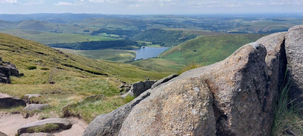
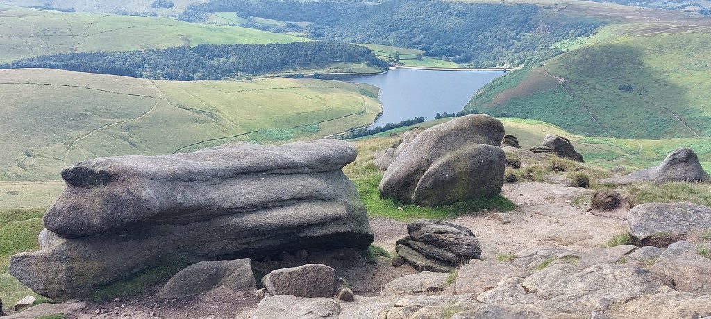
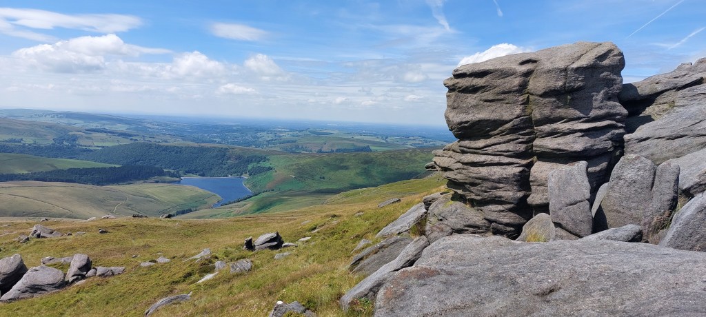
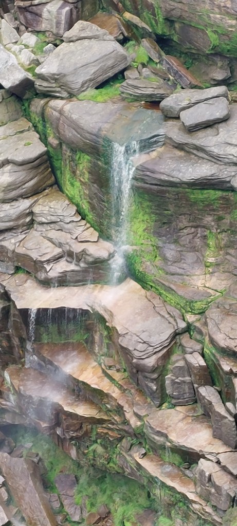
After a lovely lunch break with a beautiful view I continued along the Pennine Way and past Kinder Downfall (which is approximately 1.8 miles from the top of the Clough). This is the largest waterfall in the Peak District at 100ft, so named because if the wind is blowing in a certain direction (a strong westerly wind), the water is blown back on itself which gives a cloud of spray which can be seen from miles away. Unfortunately, there was only a trickle of water while I was there but the views more than made up for it.
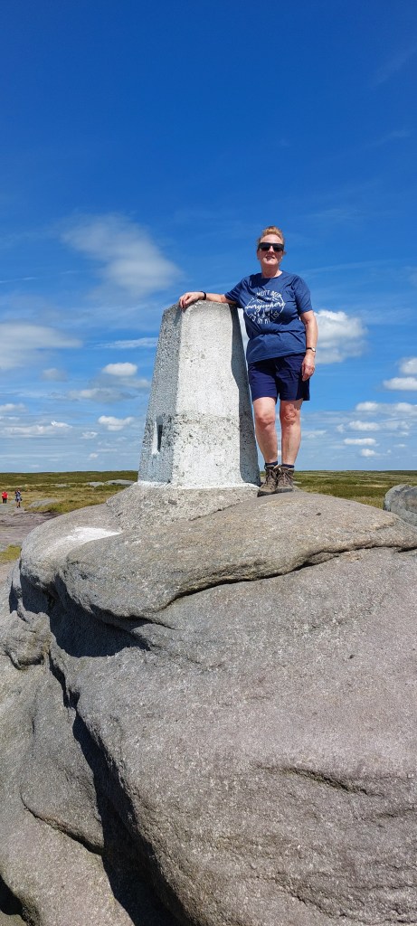
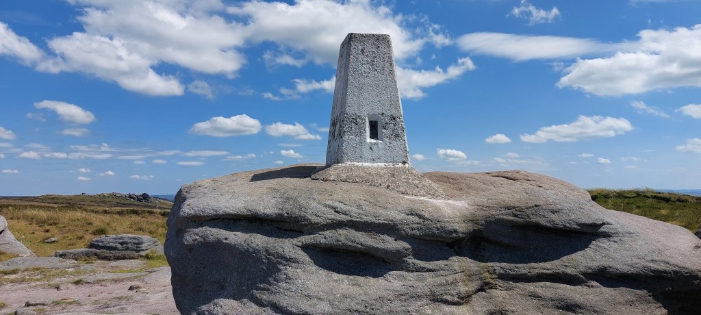
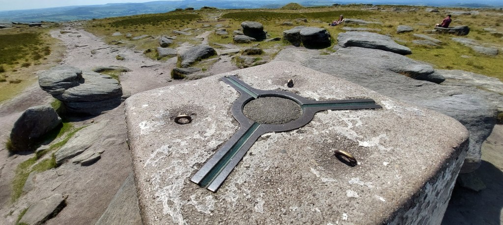
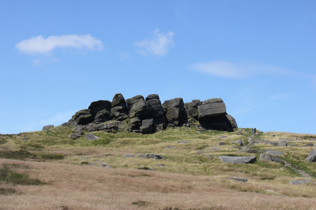
I continued to follow the Pennine Way to reach the trig point at Kinder Low which stands at 633m / 2077ft. Although this isn’t the true summit of Kinder Scout (636m / 2087ft) which lies NE from here further into the Kinder Plateau, it isn’t marked with a trig point, so I decided that as it would add too many miles onto my already long walk and for the sake of 3m and no trig point, I was happy to settle for Kinder Low as the highest point. It’s probably more photogenic too!
After leaving the trig point, I made my way downhill on a flagged path and stone steps past Edale Rocks towards a gate and a footpath that would take me back towards Hayfield. My instructions weren’t particularly clear and I did wonder if I was heading in the right direction. Good old OS maps did assure me I was heading where I needed to be. I followed some well defined paths, going over numerous stiles past Oaken Clough towards Kinderlow End. Thankfully, there were signposts with Hayfield on so I knew I was in the right place. The path went steadily downhill through farmland and pastures before coming out through a farm onto a track where I turned right below a house to eventually get to a lane and back to the campsite. (or Bowden Bridge Car Park)
This was a challenging walk of 9.72 miles. It’s another one of the higher county high points ticked off the list. I hope you enjoyed reading my blog and it will inspire you to do some walks of your own.

Leave a reply to susanmayer1965 Cancel reply