County: Gloucestershire
Name of high point : Cleeve Hill 330m (1083ft)
Date completed: December 6th 2024
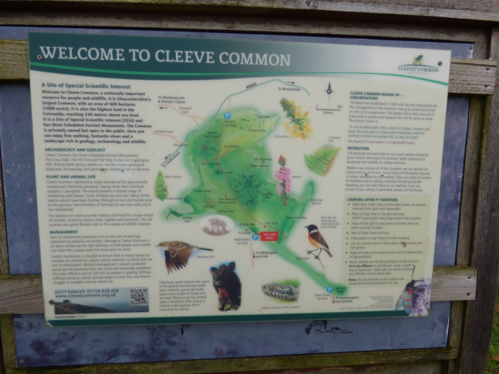
Cleeve Hill is situated in the Cotswolds on Cleeve Common which is a designated area of Outstanding Natural Beauty and area of Special Scientific Interest with Belas Knab a Neolithic chambered tomb and an Iron Age Hillfort on it.
Interestingly, there is a golf course on the Common which was fun trying to avoid all the golfers who were taking advantage of a decent December day before Storm Darragh was due to cause havoc the following day!! Safe to say I didn’t get hit by any stray golf balls!!
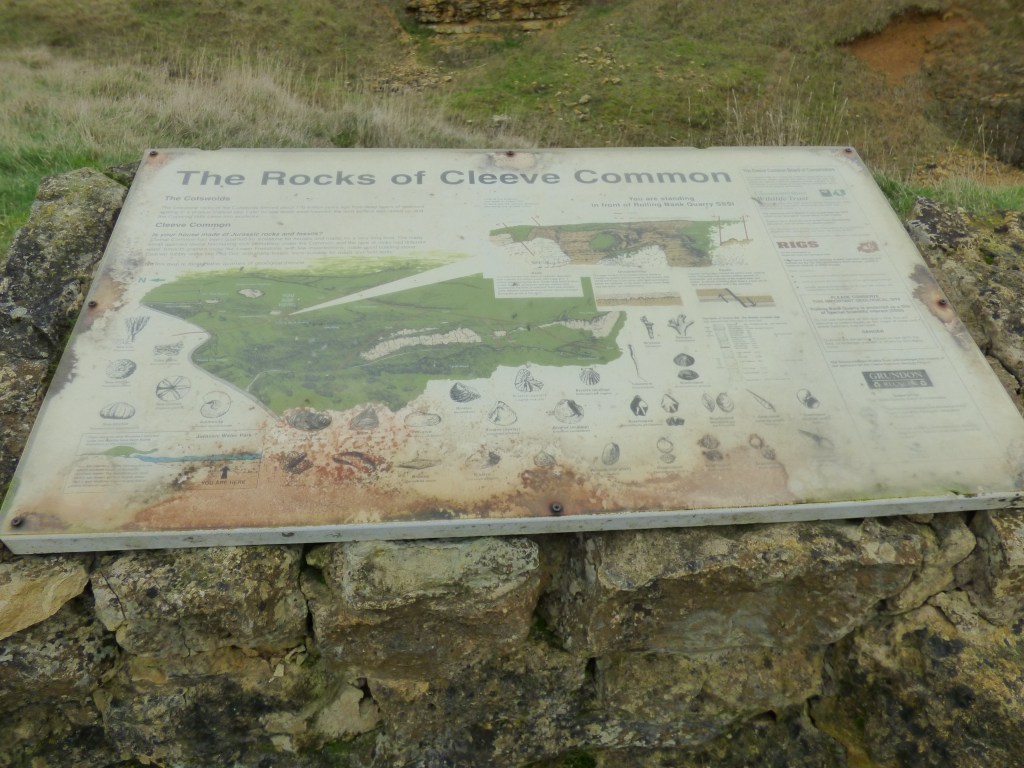
My walk started at the Quarry car park close to the golf course and club house. Parking cost £2 and apparently you can claim that back if you buy something in the clubhouse on your return. Turning right out of the car park, the track follows the edge of the golf course giving a lovely view of Winchcombe, a lovely historic village in the valley (where I stayed for the weekend.)
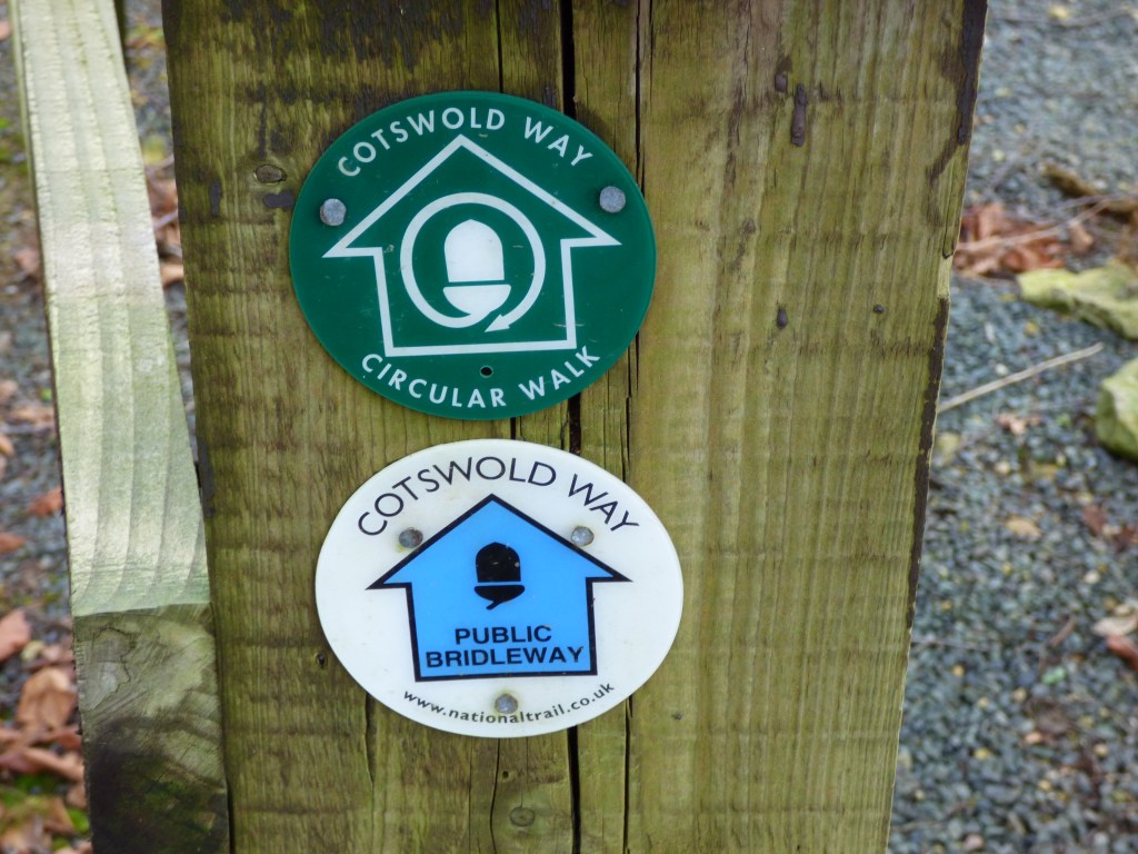
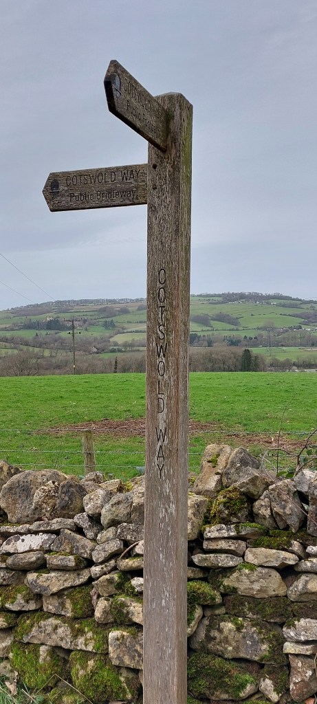
The walk then followed the Cotswold Way for a while. The markers were easy to spot so it was an easy route to follow.
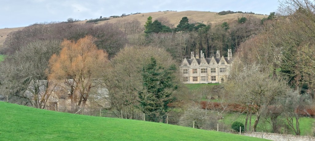
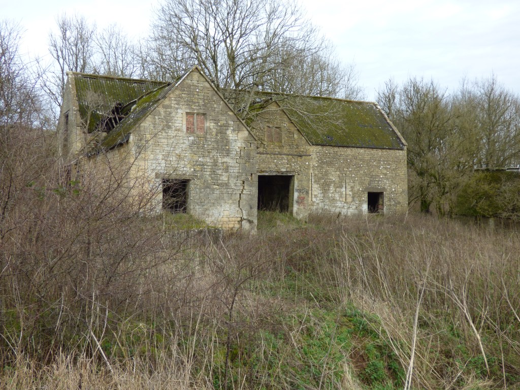
The path splits three ways but the Cotswold Way goes downhill through a few gates, past some stables and around the high stone wall of Postlip Hall, a 15th Century manor house and listed building, before going past some farm buildings to arrive at a driveway.
By turning right and still following the Cotswold Way, the walk takes you through Postlip Farm where you can follow a detour to miss out the busy farmyard. There were farm dogs lurking so I did check with the farmer that I was going the right way. He told me that the dogs were friendly enough and had been fed!! No worries there then!
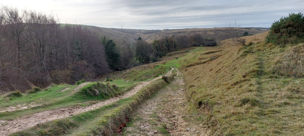
Still following the Cotswold Way, the track passed into a field which took me downhill to a bridge over a pretty little stream, which was a good place to rest as the next section was a steady up hill climb. The path goes to the right, up through the woodland, steadily climbing all the way to go through a paddock at the top of the hill after which I reached a road. It was all clearly signposted.
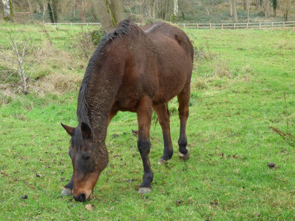
Turning right here, past more stables (they like their horses in this area) through more woods and after an even steeper climb I came to a field which led to a kissing gate and a road.
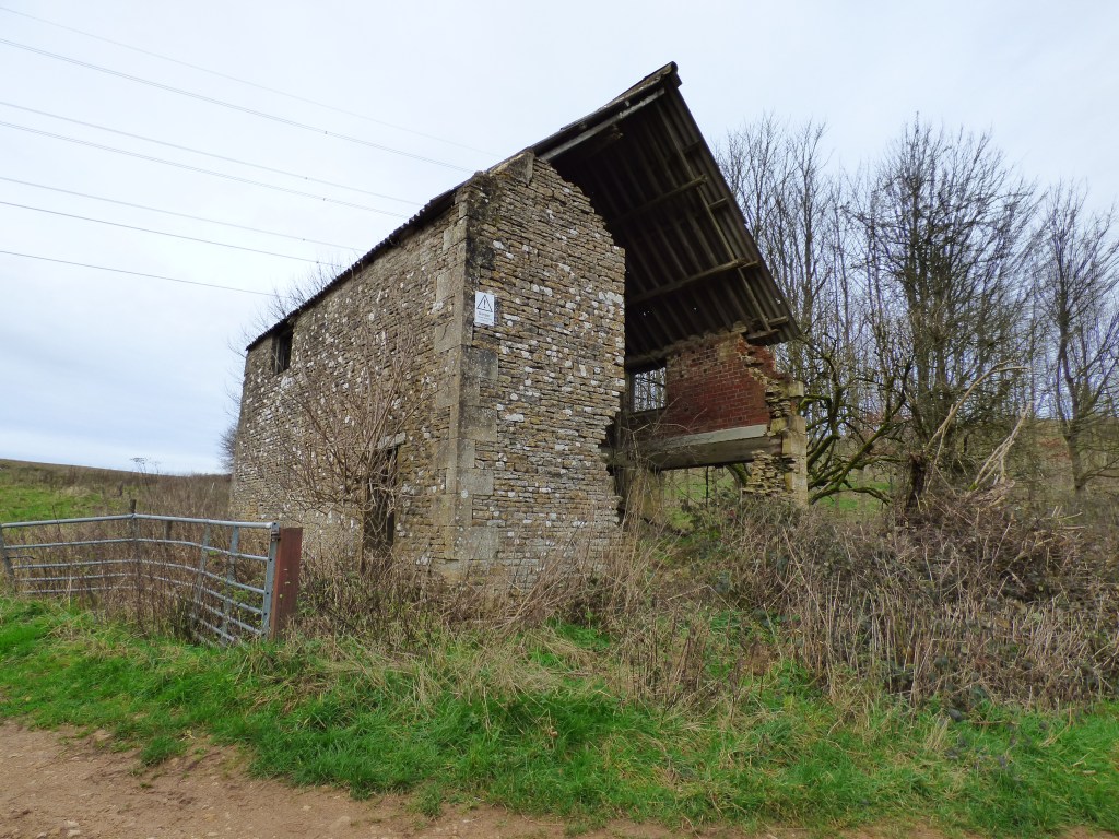
This is where I left the Cotswold Way for the time being, turning right onto a track which led downhill to the deserted Wontly Farm buildings.
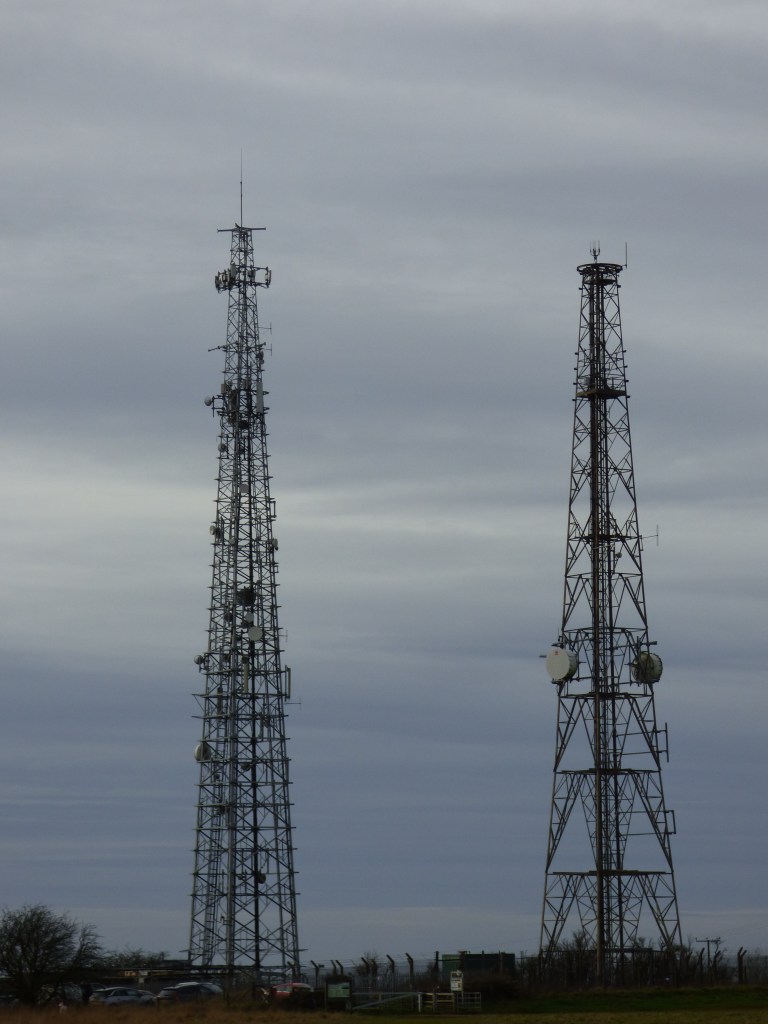
Turning right at these buildings, the path went gently uphill towards the radio masts which is where I headed to on Cleeve Common. Cleeve Common covers over 400 hectares and is famous for the views over Cheltenham, the Vale of Evesham, the Malverns and on a clear day (not today) the Black Mountains and the Shropshire Hills
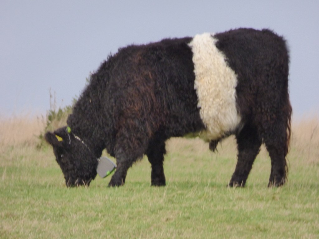
There was a herd of Belted Galloway cows on the common which apparently can be tracked as they have GPS collars on, which you can see in the photo.
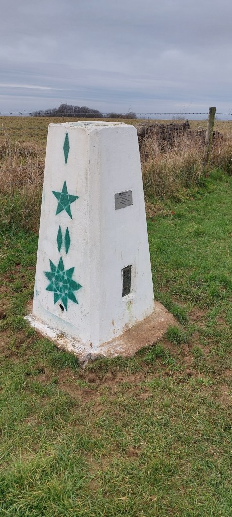
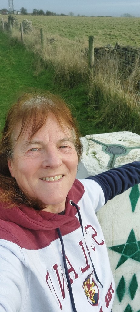
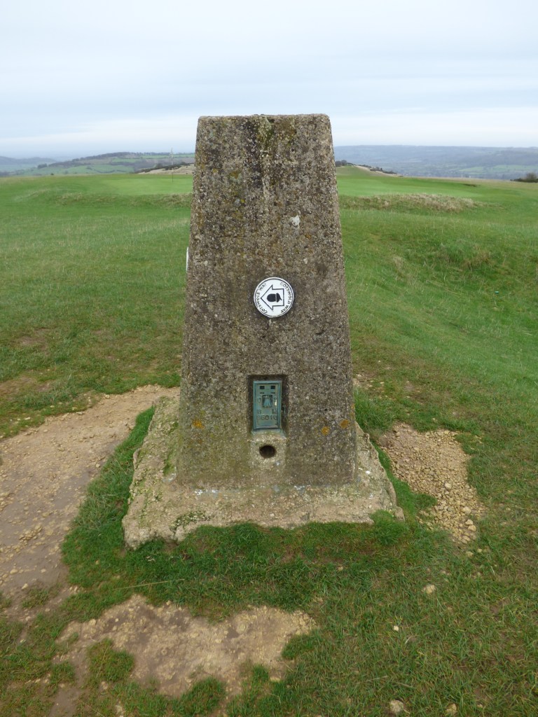
I reached the masts and found I had to retrace my steps a little to find the trig point which marked the summit of Cleeve Hill. This was a good place to have lunch and gave me a well earned rest. I took the photos and the obligatory ‘selfie’ as evidence I had actually ticked off another county high point. This trig point is on the southern part of the hill which is relatively flat but doesn’t offer any decent views which you can tell from the photos. Maybe that’s why the trig point has been decorated.
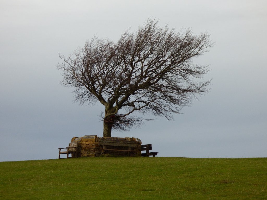
After leaving the trig point at the official ‘top of the hill’, I headed towards the ‘Single Beech’ known also as the ‘lonely beech’ which sits at 317m. From this tree there is a 360 degree panoramic view. The views today were a bit blurred as it was cloudy and breezy on the top. The tree is surrounded by a Memorial Wall covered in plaques in memory of people who have previously enjoyed being on the Common.
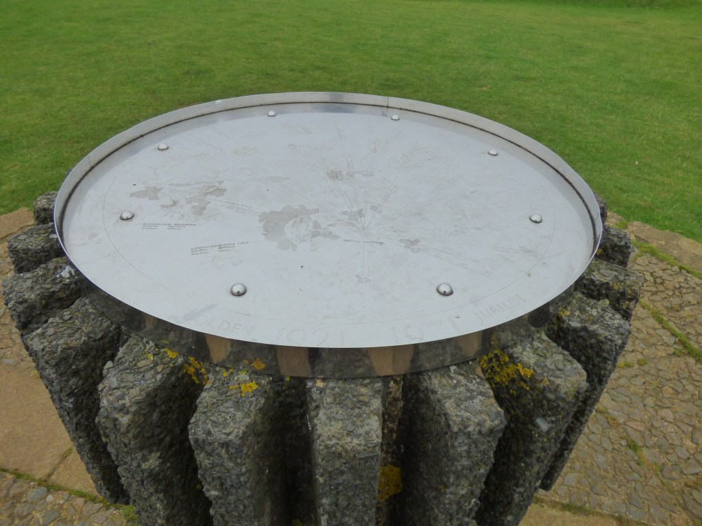
From here I headed towards the ‘other trig point’ at 315m (1033ft) on the northern part of Cleeve Hill which also has a topograph at the site and gives far wider views. On a really clear day you can see 90 miles to Exmoor in Somerset. (not today, unfortunately)
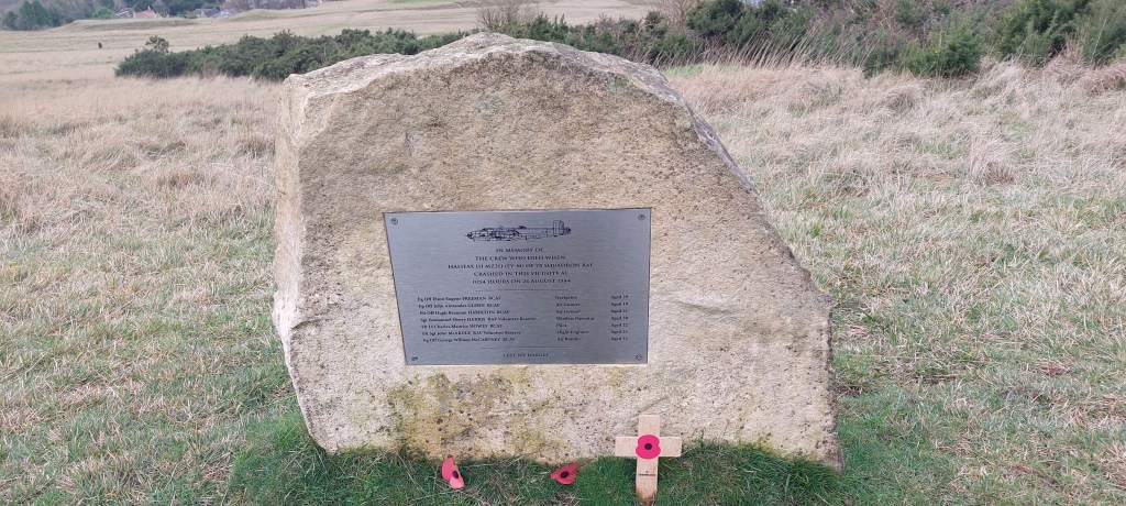
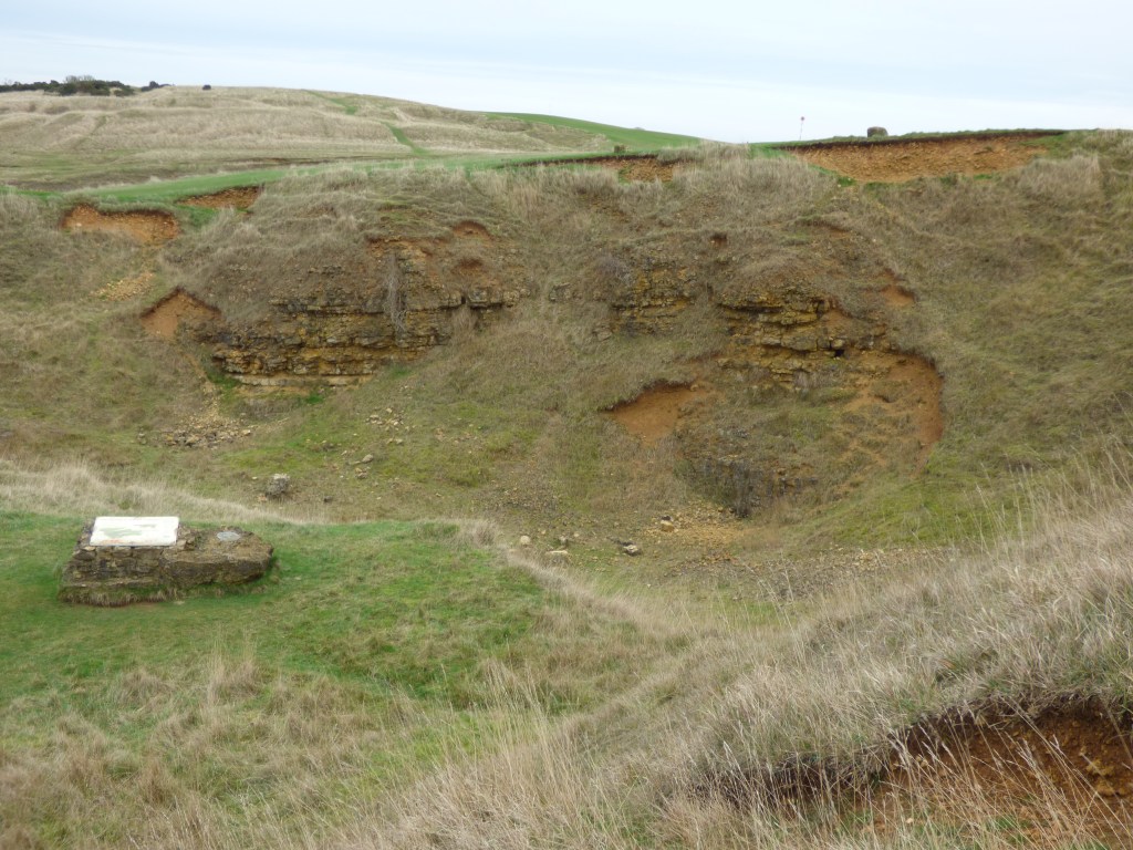
I re-joined the Cotswold Way and made my way back past the plaque in memory of the crew of an air crash during WW2 in the area and past the quarries to the car park avoiding the golfers and golf balls to finish the walk.
This was a very enjoyable walk of just over 7 miles in some beautiful countryside. Definitely recommended.

Leave a comment