County: Lincolnshire
Name of High Point: Normanby Hill (Wolds Top) 168m (551ft)
Date completed: 23rd May 2025
I was staying in Lincolnshire for the weekend with a couple of good friends. We took advantage of a lovely, sunny day and decided to do a circular walk to take in Lincolnshire’s highest point. Given that Lincolnshire is a pretty flat county and that there are only 6 county tops lower than it in England, I knew it wasn’t going to be too difficult a walk.
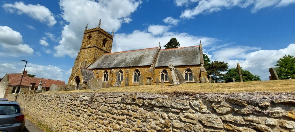
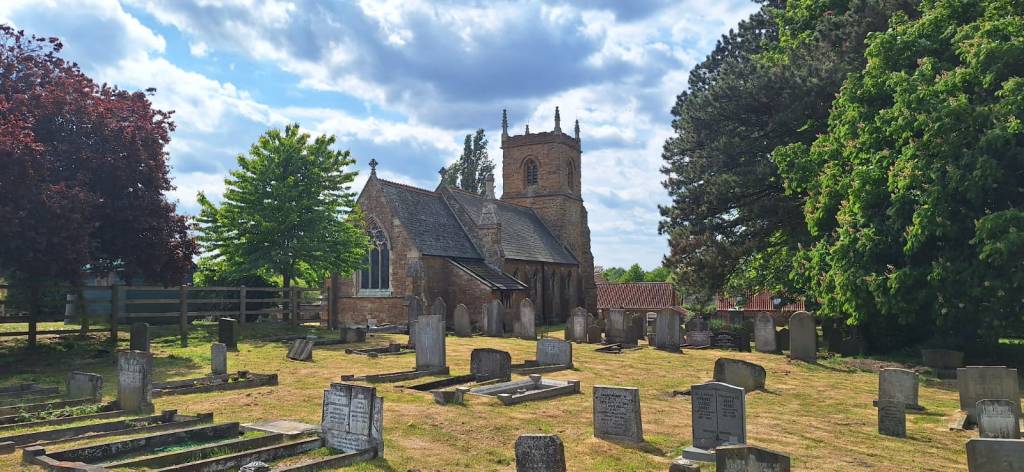
We parked in the small village of Nettleton, just off the A46 Lincoln to Grimsby Road by the picturesque St John the Baptist’s Church.
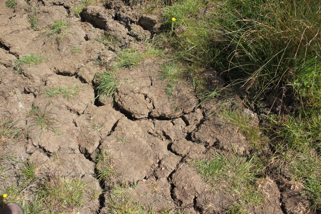
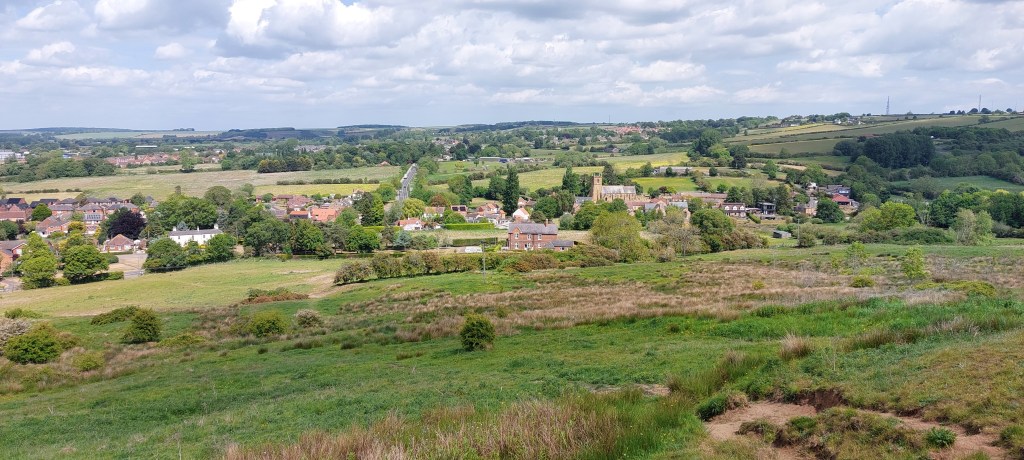
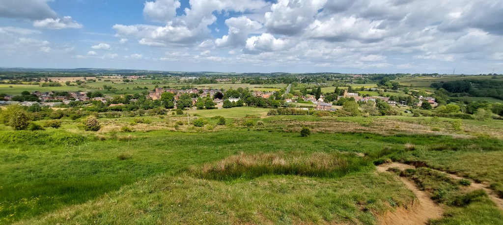
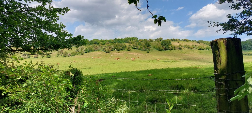
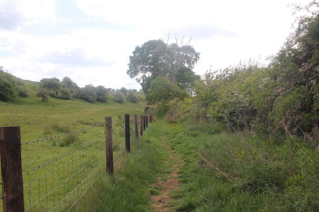
We walked back to the junction of the A46 by the Salutation Inn, turned left and walked along the road just past the junction for South Kelsey on the right and found a footpath sign by a gate. As the gate was locked we had to follow the permissive path which doubles back on itself before reaching a stile giving us access to the open hill. We then walked through a few scattered gorse bushes to reach the obvious path going uphill. Looking back, we had good views over the surrounding countryside and Nettleton Village. The ground was incredibly dry due to a lack of rain this spring.
The path split near the top so we took the right fork to the crest of the hill. We were able to follow an obvious path which was easy enough to follow. It took us through woodland, crossing a couple of stiles taking us to the left side of the fence. We then had a choice of paths to take but took the one we thought was going in the right direction which turned out to be the correct path.
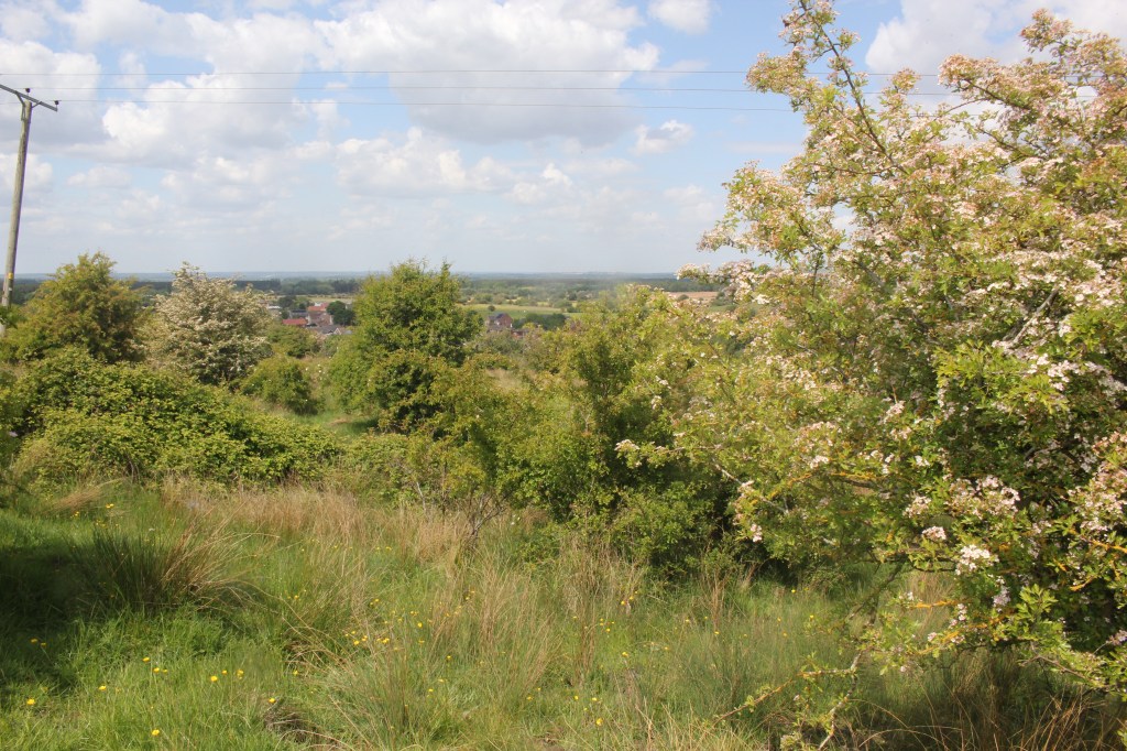
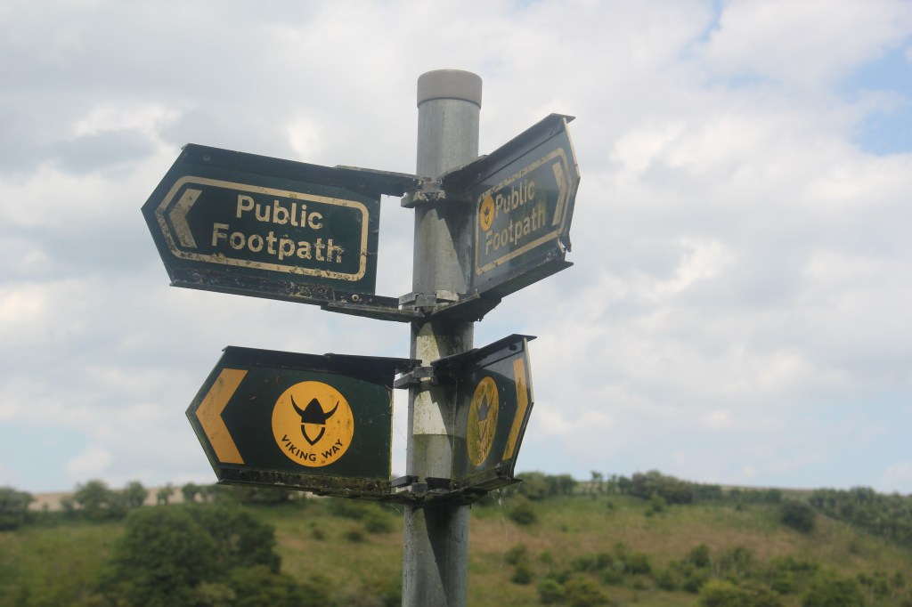
We emerged from the woodland to see some buildings, Castle Top which appeared to be derelict and run down. We followed the obvious path to the road and began to walk uphill towards Nettleton Top, passing through a small hamlet to join a road opposite a large barn. We stayed on the road for around 1km before reaching a sign post with the Viking Way on it opposite Acre House.
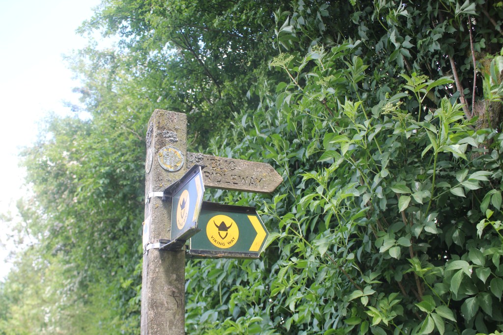
The Viking Way is a 147 mile walking trail between the Humber Bridge and Oakham in Rutland, which passes close to the summit.
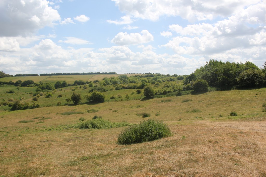
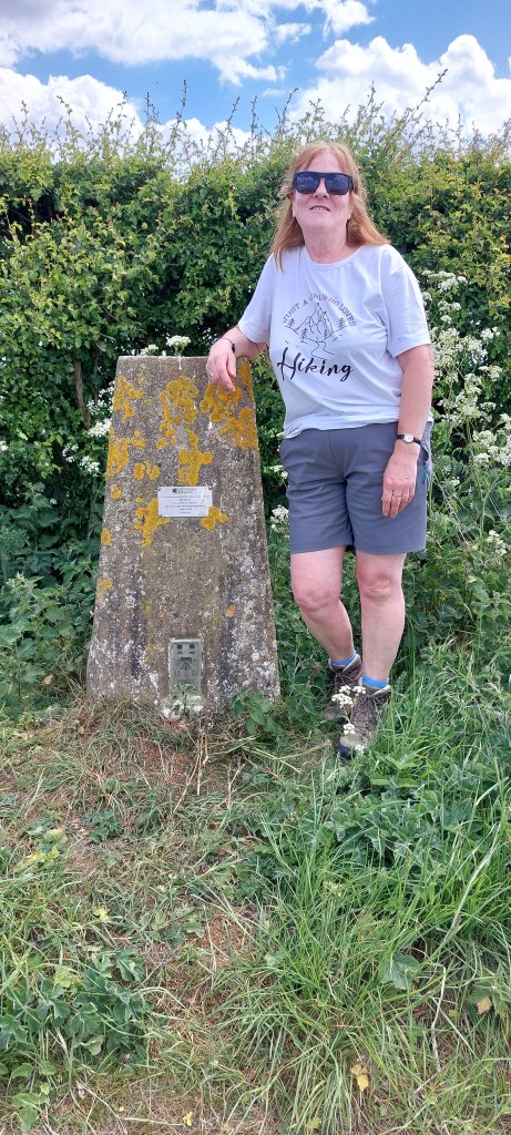
We turned left to follow the track to a gate, continuing in an easterly direction and past another Viking Way sign which pointed north down a shallow valley until we reached a telegraph pole opposite a hedge which followed a southerly direction. This would have given us direct access to the trig point at the summit but as the gate was locked, we had to find a gap in the hedge on the right which we went through, climbing up a fairly steep bank and doubling back on ourselves to a hedge, which we followed gently uphill for around 400m to the summit and the trig point of Normanby Hill. The radar station ‘golf ball’ can be seen over to the South East.
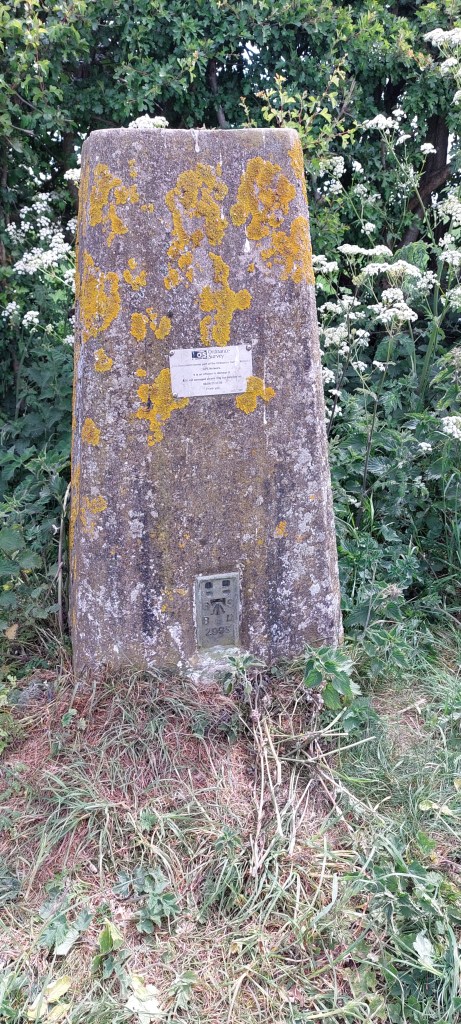
Normanby Hill is also known as Wolds top, so called because it lies in the Lincolnshire Wolds, a range of hills which run roughly parallel to the North Sea Coast.
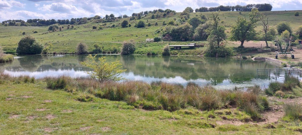
Having taken the obligatory photos, we retraced our steps back to the bridleway and picked a path down towards the Viking Way at the bottom of the valley which we followed through quite a few gates to reach a wood with some old workings.
We passed through the wood and onto a track passing a small lake near Nettleton Grange and a T junction.
We turned right and soon reached a tarmac road which led us back to the village of Nettleton and the church where we had parked the car.
It was a pleasant walk of around 5 miles (8km) and took around 3 hours to complete. It was good to have some company this time.

Leave a reply to pioneering9572568c2d Cancel reply