County: Staffordshire
Name of high point: Cheeks Hill 520m (1706ft)
Date completed: May 31st 2025
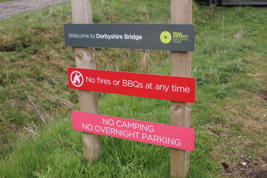
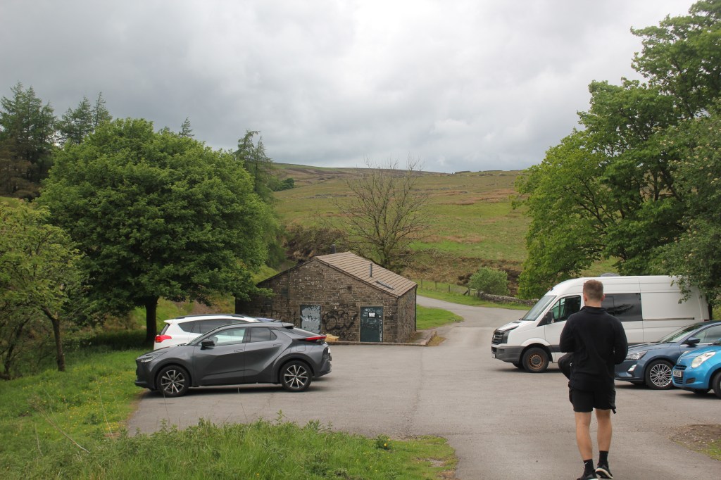
I roped my youngest son Mike into doing this circular walk one Saturday when we were both at a loose end. He drove me to the start of the walk at Derbyshire Bridge Car Park off Buxton road which is well signposted. It’s a free car park with toilets which unfortunately weren’t open when we were there.
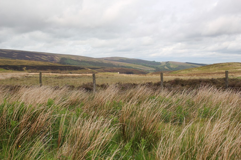
From the car park we took the track going uphill that runs parallel with the car park heading east. This path went gradually uphill giving great views over the Goyt Valley and Shining Tor (Cheshire’s highest point and previous blog)
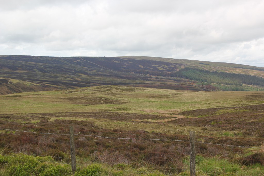
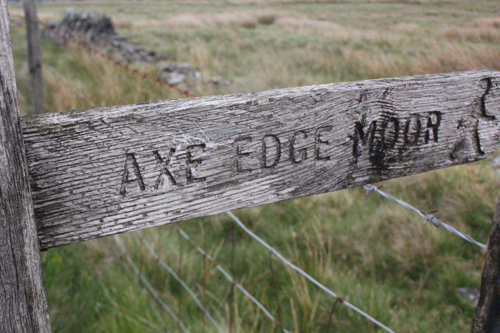
This was the highest part of this incline. The walk could have been extended to do Burbage Edge trig point here but we decided not to do that today. Instead we carried on for another 50m before turning right at the signpost for Axe Edge Moor. It’s a grassy path which we followed until the path split. We took the left fork which took us to the road.
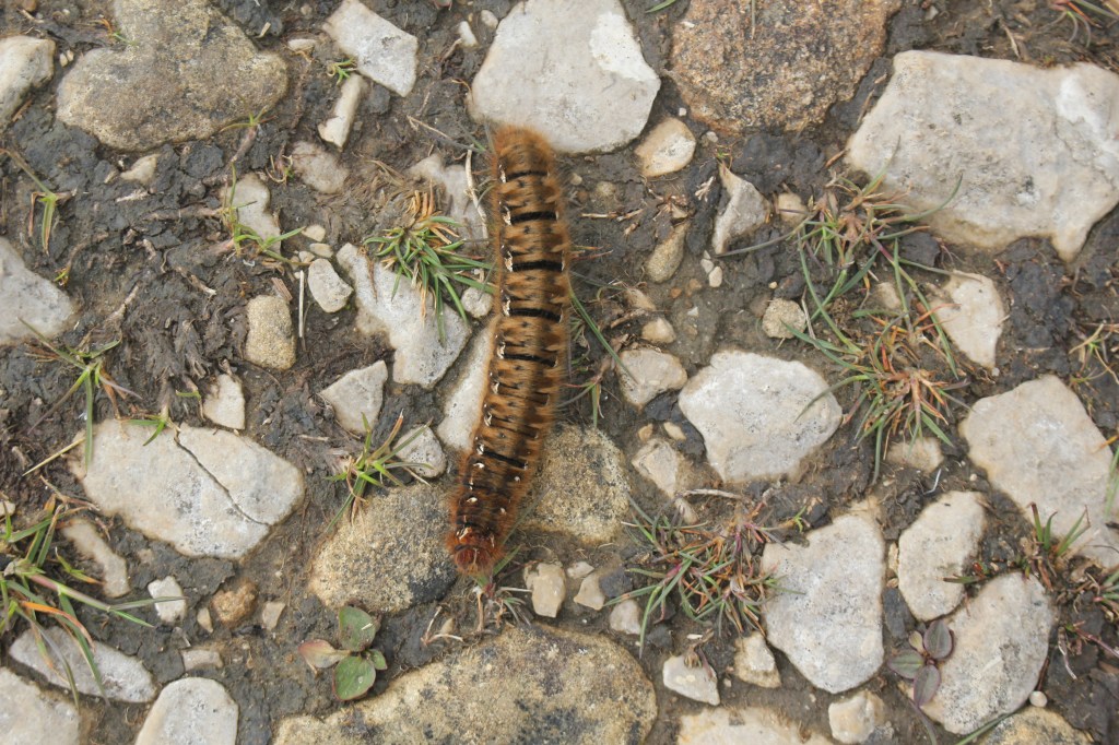
This is a busy main road so we crossed it carefully and went over the stile on the other side following the wide path to another fork where we took the left hand path. It was a clear day and we could see the trig point on Axe Edge. On the path on the way up we spotted a beautiful caterpillar.
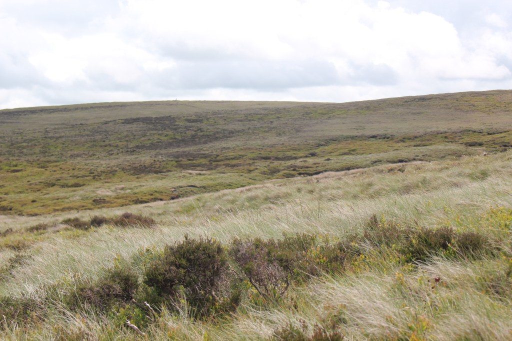
You can just about make out the trig point in the photo if you look closely enough.
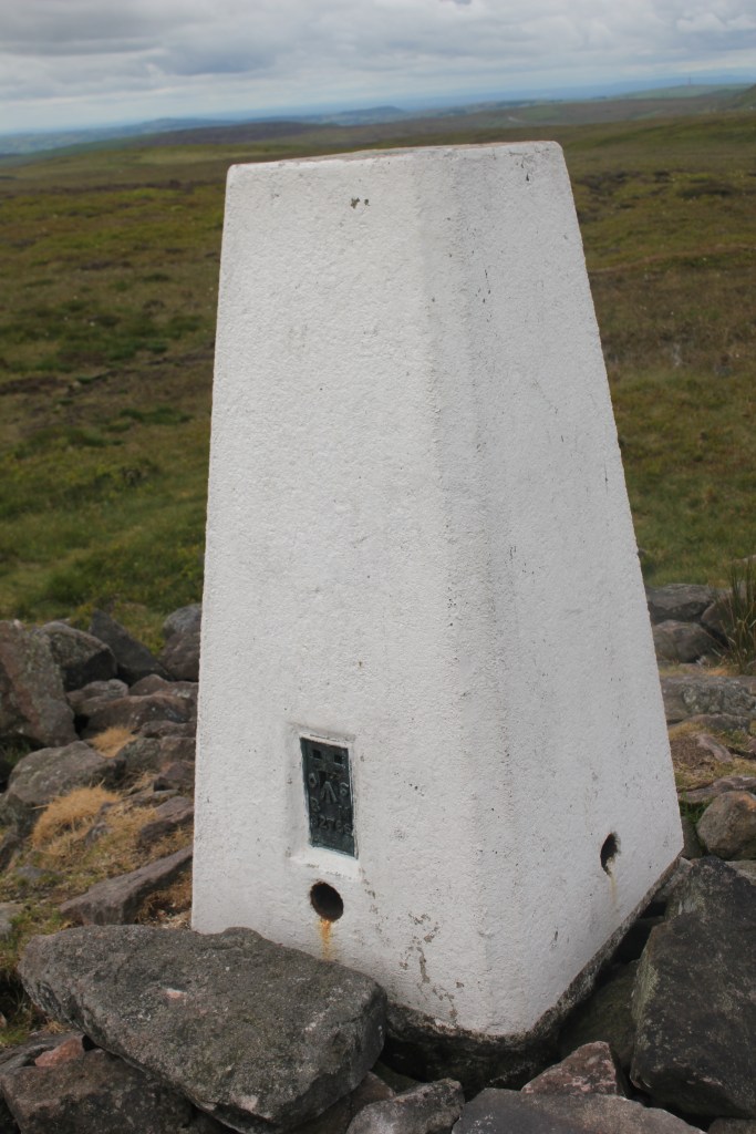
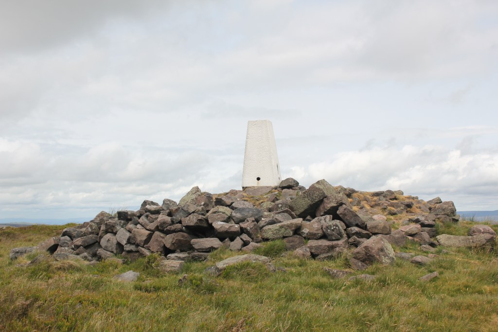
We stopped for a short coffee break before following the path beside the fence which goes up and down a bit before reaching Axe Edge Hill and the trig point at the top.
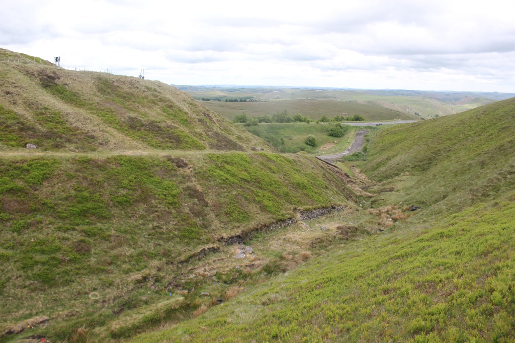
From the trig point, we turned right and headed along the ridge in a southerly direction. This crossed over a road ( a less busy one) and we found the path that led downhill to a stream called Cistern’s Clough. We decided to have our lunch here as it was nice and sheltered.
It was then back uphill onto Axe Edge where we carried on following the ridge. There were great views to the left and Chrome Hill
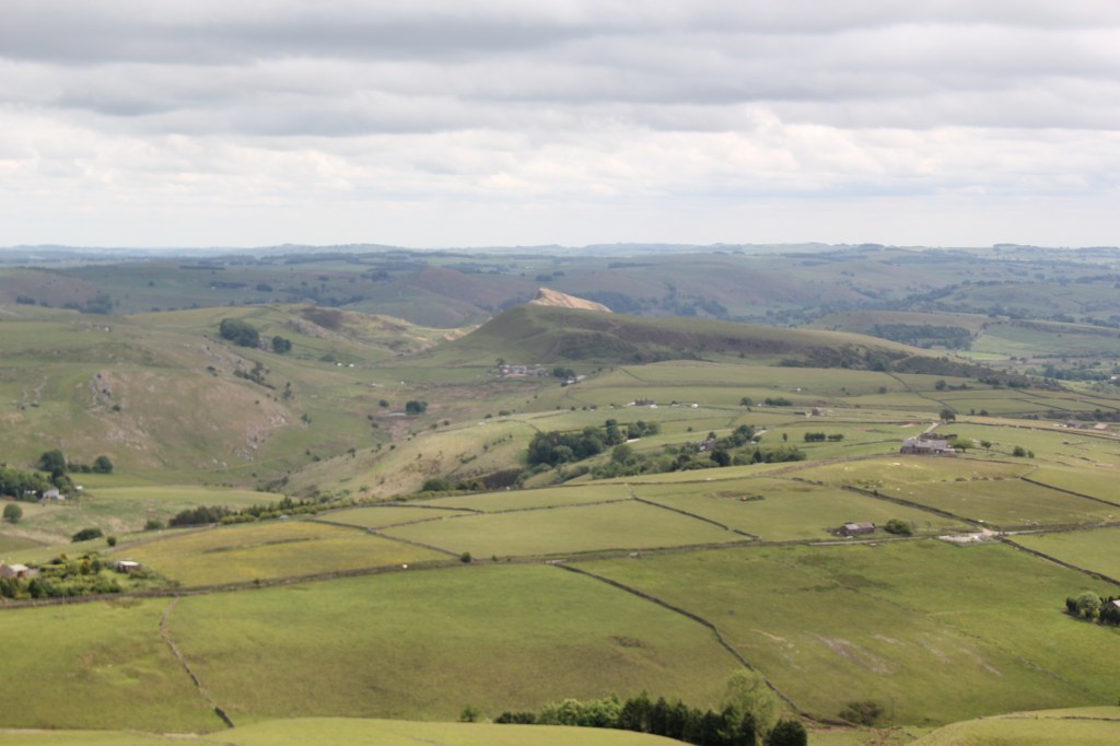
After about 1.5 km the path went down towards a track by a house. We continued to follow the track and had great views of the iconic Shutlingsloe.
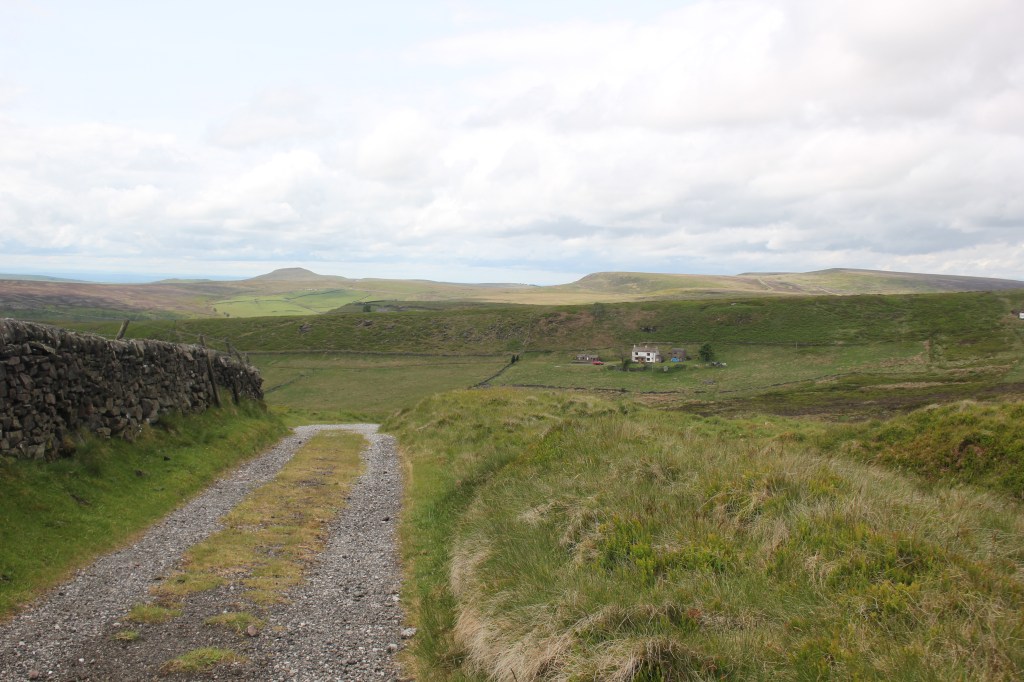
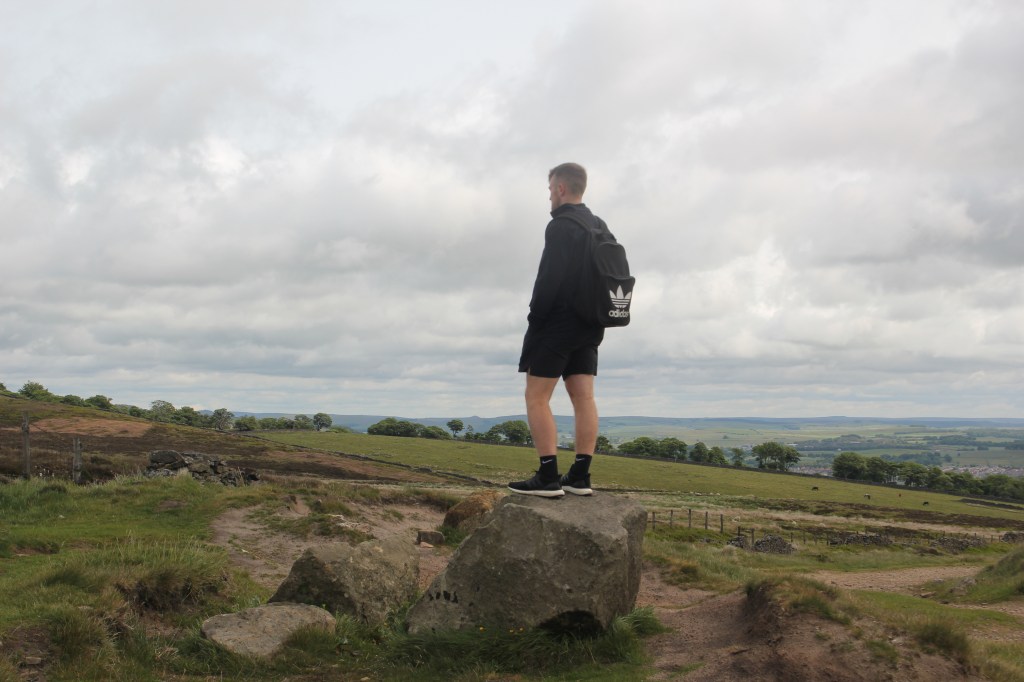
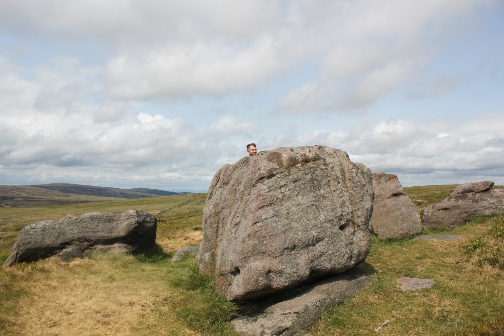
The track continued to the right before heading across the moorland just before a gate. We followed this path uphill to some large stones on top of the hill. (spot Mike!) No, this wasn’t the Staffs High Point.
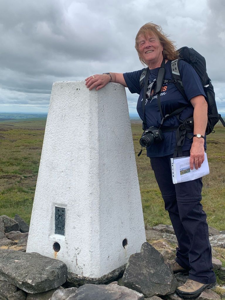
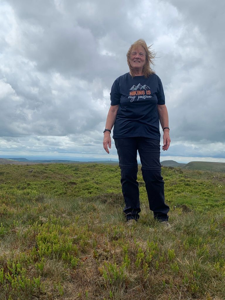
We continued to follow the path to the top of Cheeks Hill. I have to admit to being totally underwhelmed and had to check we were in the right place on OS Maps. The path doesn’t go to the top, there is NO trig point and it was a case of best guess what we thought was the highest point! Mike took the obligatory photos and as I was disappointed not to have a trig point, he superimposed one for me!!
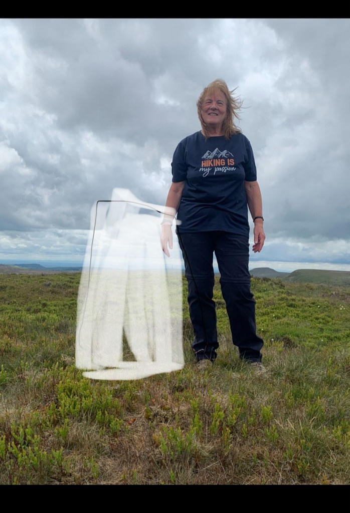
Apparently the official top of Cheeks Hill is the corner of the fences and a dry stone wall where Derbyshire and Staffordshire meet.
We now picked up the path downhill which eventually crossed the start of the River Dane and reached a road, where we turned left and walked to the A537 which we crossed, turned left, then right along a small road to cross the A537 again.
We continued to walk down a smaller road which then had a bend to the left. At this point we turned right to pick up the footpath. After a very short distance, we went through a gate on our left which took us back to Derbyshire Bridge car park where we started the walk.
This was a circular walk of just under 6 miles which took around 3 hours to complete. Thanks to Mike for keeping me company on this one.

Leave a reply to EJ Blogs Cancel reply