County: Oxfordshire
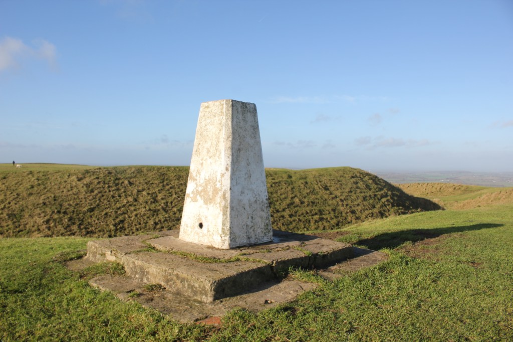
Name of high point: White Horse Hill 261m (856ft)
Date completed: 28th November 2025
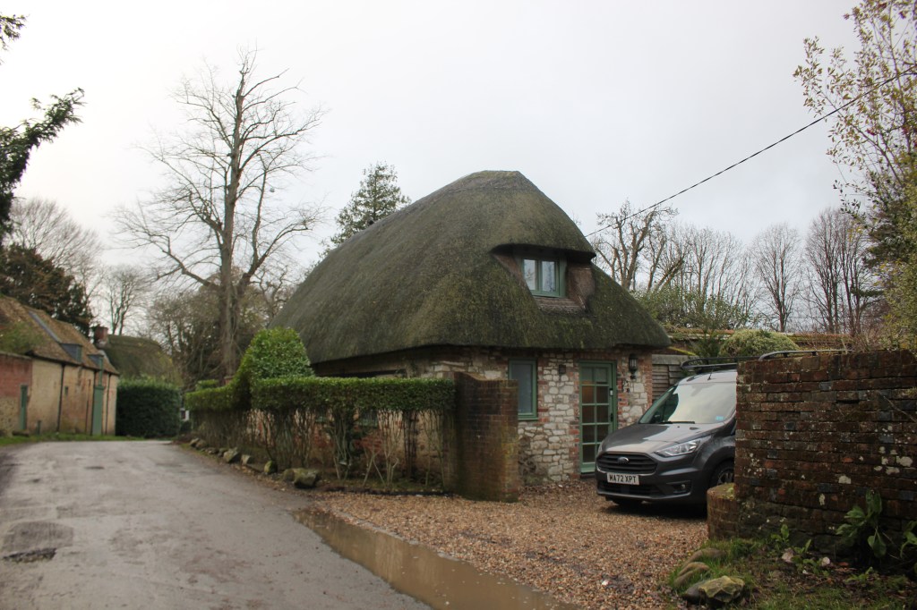
I stayed at the White Horse Inn in Woolstone the night before and decided to start the walk from there instead of driving to the National Trust car park for White Horse Hill.
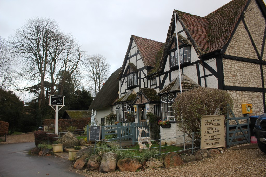
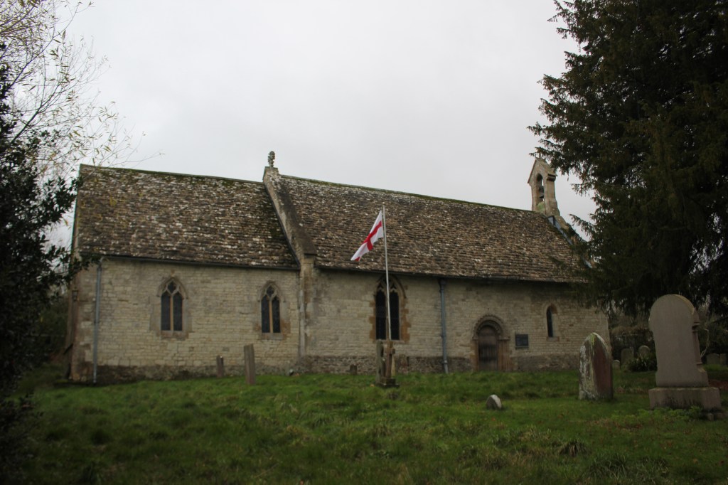
From the pub I turned right and then right again uphill out of the village. I passed the small late Norman Church of All Saints which I’d visited the night before which you can reach by taking the footpath to the left and crossing a small field to the churchyard.
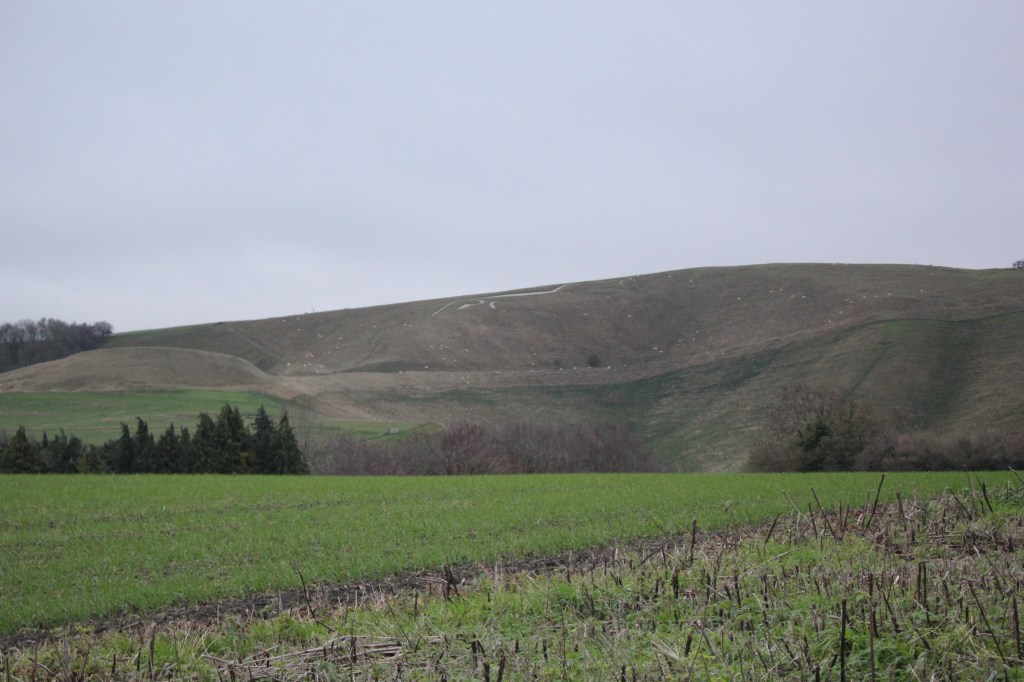
I continued uphill passing the White Horse itself which could be seen from the road.
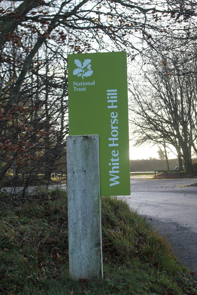
At the crossroads I continued straight on up the road to reach the car park in the trees which was fairly empty given it was the end of November. This was quite a steep climb and I was glad I was doing it at the beginning of the walk and not at the end.
I continued on the tarmac road which continued gently uphill and then became a rough track. I could see Uffington Castle clearly to my left from the road.
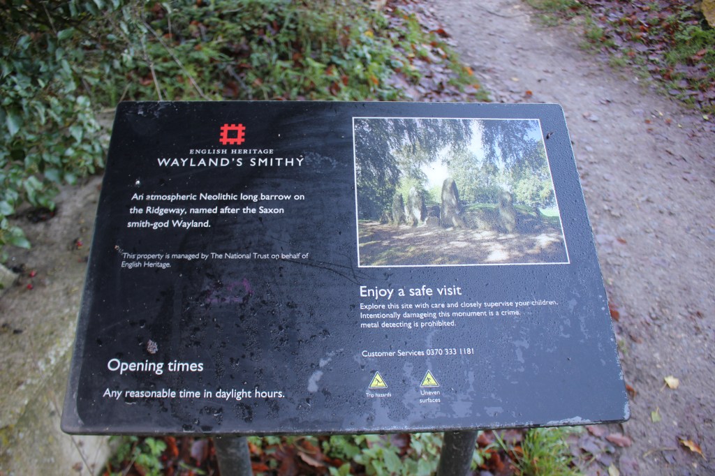
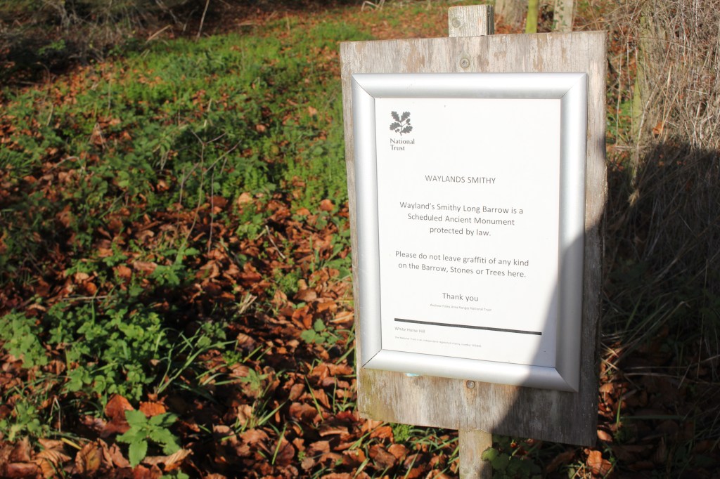
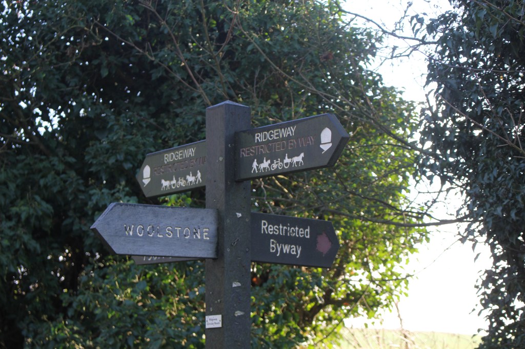
I reached a crossroads of paths and on further inspection spotted a path going to the right signposted to Waylands Smithy. I thought it might be good to explore this so I turned right here instead of left onto The Ridgeway. I followed this footpath for about half a mile before finding the Smithy itself. Waylands Smithy is a Neolithic chambered long barrow with ruins of a larger barrow built on the top.
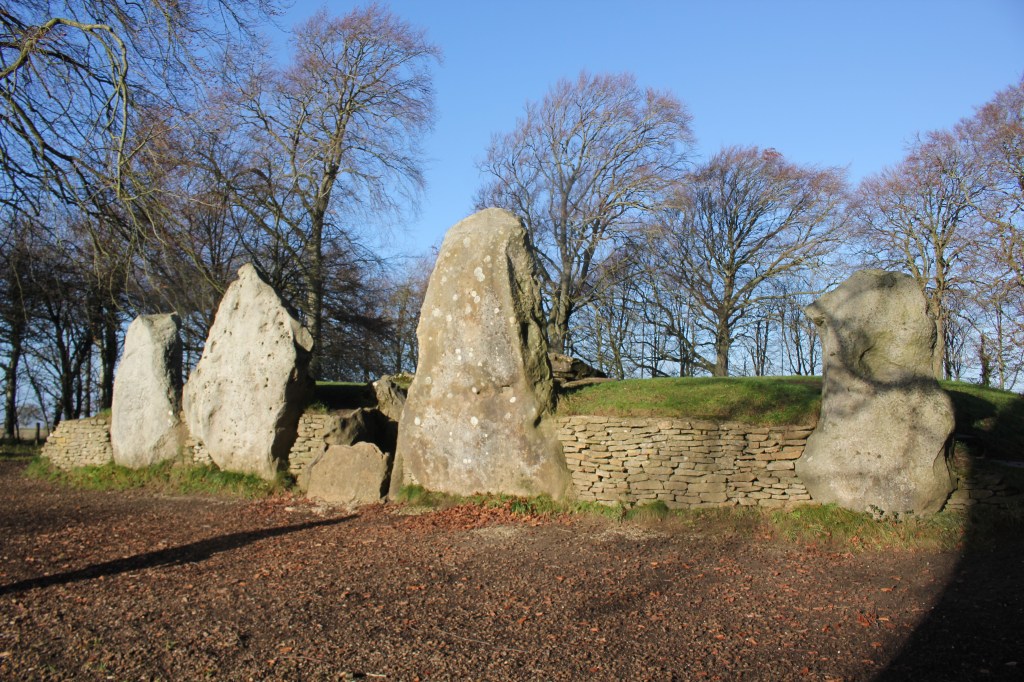
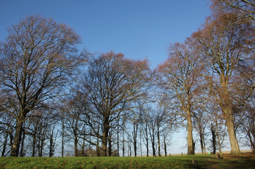
After exploring this site and enjoying the massive ancient beech trees there I retraced my steps back to the crossroads of footpaths I had been at earlier. I continued straight on onto The Ridgeway. The Ridgeway is a National Trail and thought to be the oldest road in the country having been in existence since Neolithic (New Stone Age) around 5000 years ago and it’s surrounded by many prehistoric sites along its length. I was only on it for a short distance.
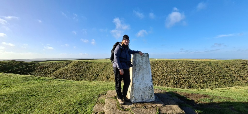
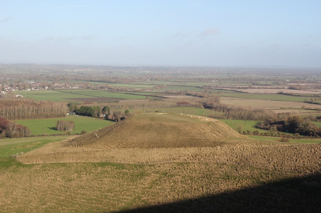
The path went uphill towards Uffington Castle. I decided this would also be a good place to explore and of course the trig point at the top of White Horse Hill, the highest point of Oxfordshire. I went left through the gate at the top of the hill to the trig point initially where I had the obligatory photo taken. As it was such a lovely day, albeit quite breezy, there were a few people around to ask to take the photo instead of a bad selfie!
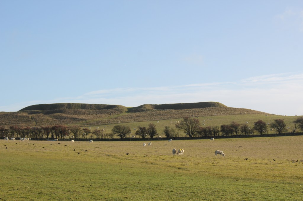
I then had a good explore around the Castle / fort before exploring more of the area including the Manger, the Vale of White Horse and Dragon Hill.
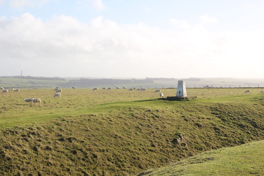
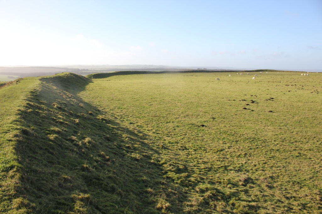
Uffington Castle is an early Iron Age fort constructed about 2700 years ago and had a single ditch and rampart. You can walk all the way around the edge of it and have fabulous views over the immediate area.
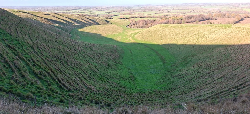
The Manger is a steep sided dry valley with ripples along the western side known as the Giant’s Stairs caused during the retreat of the last Ice Age. Legend says the White Horse leaves it’s hillside one night a year to feed in the Manger but is always back in place by first light.
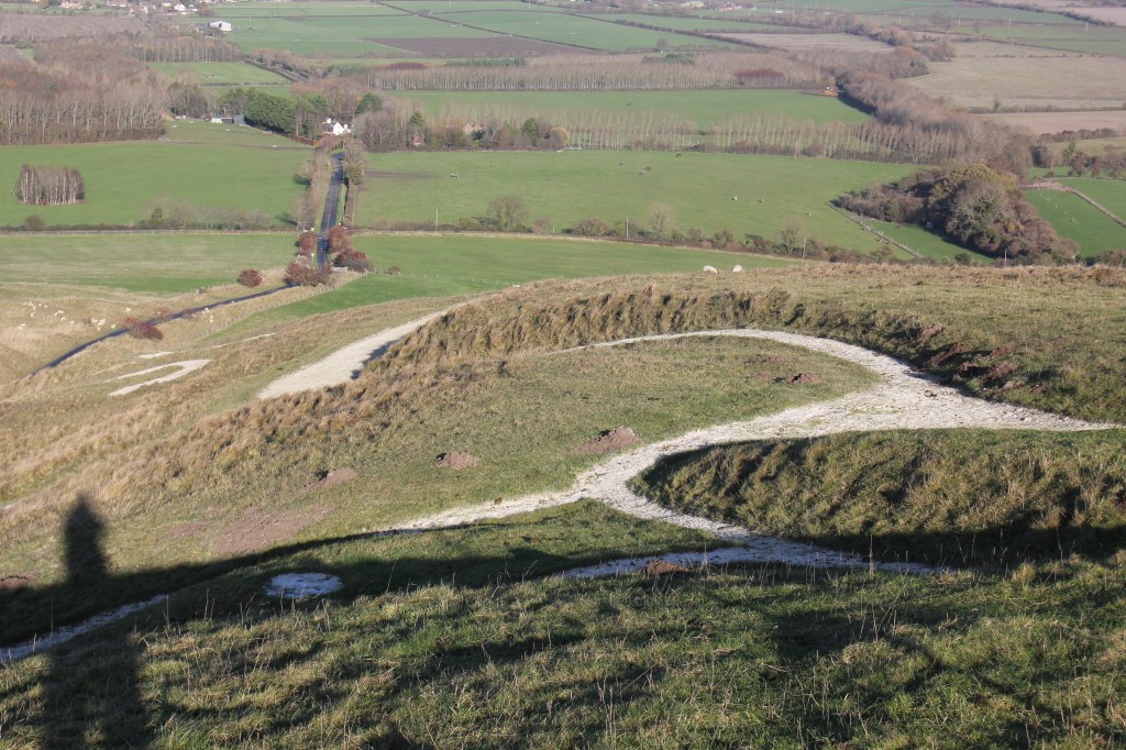
Dragons Hill is a conical shape with a flat top. The legend here is that St George killed the dragon here and it’s spilt blood has forever poisoned the soil so the grass has never regrown leaving the bare white patch which you can see today.
The Horse itself at White Horse Hill is probably the oldest chalk hill figure in Britain dating from the Bronze Age about 3000 years ago. It measures 110m (360ft) in length. It has been regularly cleaned to stop the vegetation encroaching on it. No one knows why the horse was created and can only be seen fully from the air. There is a fence all the way around it now to try to stop the erosion of it from the number of people who visit it.
I then retraced my steps back to The Ridgeway where I turned left to go gently downhill. It was lovely clear day and there were views to the East of the Chilterns with Didcot Power Station in the distance.
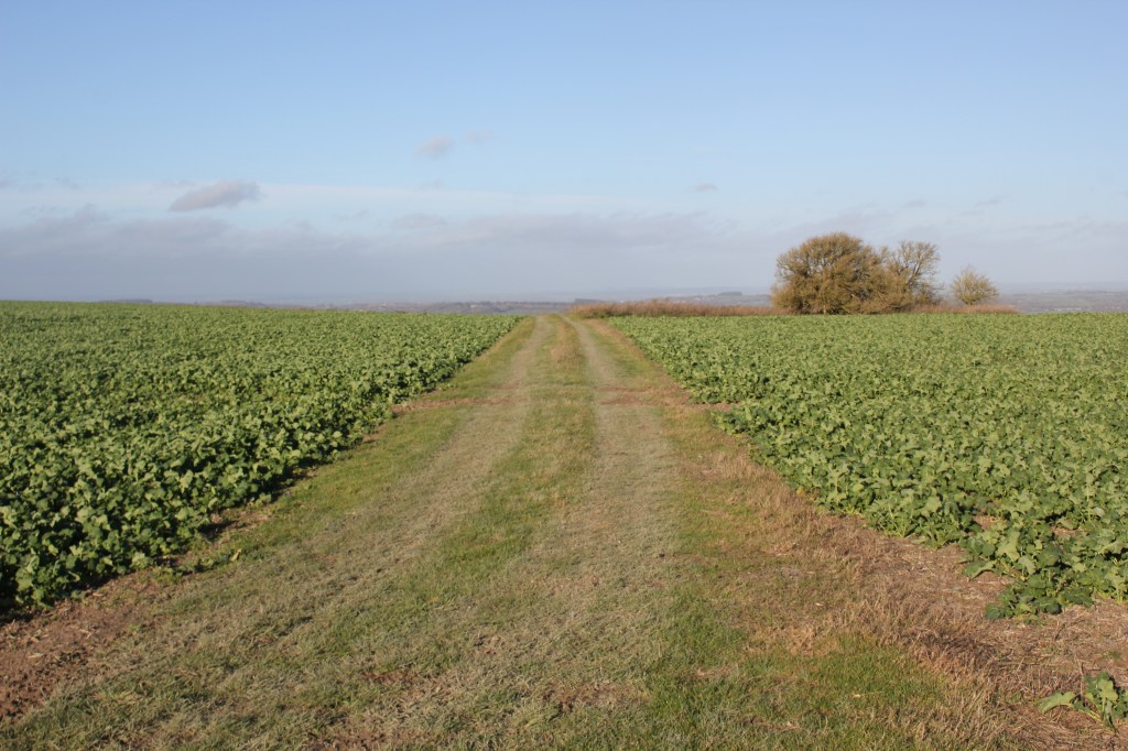
At the bottom of the slope before a long belt of trees on the right, I turned left across a field on a wide grassy track.
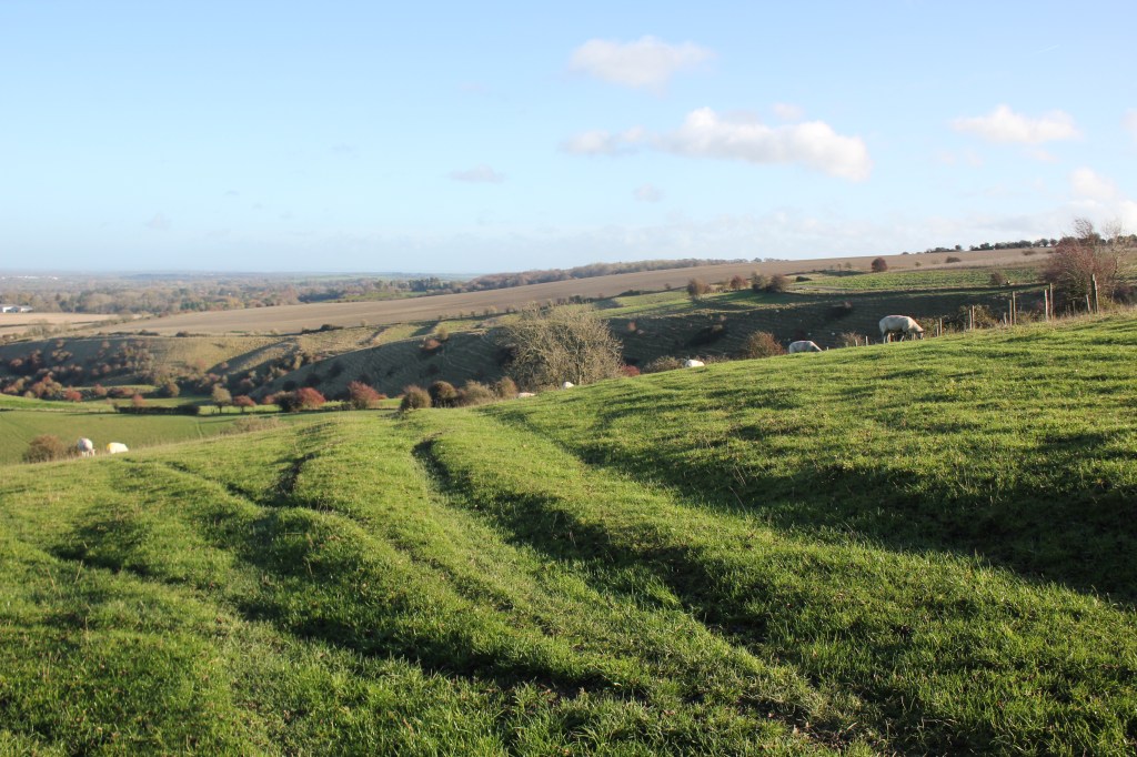
As I made my way downhill there were views of the villages of Fawler and Kingston Lisle and Oxford beyond the gap in the low hills. I continued downhill through a few kissing gates and then down a steep scarp slope where I slipped on a cow pat and ended up on my backside!! A good job nobody was around to see that!! On the right of this path was a valley created by the retreating ice during the last Ice Age.
The path eventually came down to a road where I turned left, crossed the road to a footpath opposite a farm entrance and then followed the path leading downhill through a field which is apparently a campsite in the summer.
At the bottom of the field I crossed and recrossed a small stream on a footbridge a couple of times through the woodland. The path eventually emerged from the woodland where I turned left onto a wider path with a hedge on the left and a young plantation of ash trees on the right until it finally reached a road
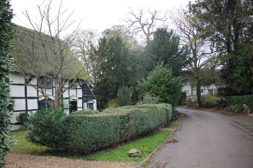
At the road, I turned right and shortly turned left onto a track past paddocks and then a plantation of deciduous trees. This continued for a while alongside field edges before reaching a road. I turned left here to walk along the road back into Woolstone Village and back to the White horse Inn car park where I had left my van.
The walk was 8.09 miles as I added extra bits to my planned walk.

Leave a comment