County: Lancashire
Name of high point: Gragareth 628m (2060ft)
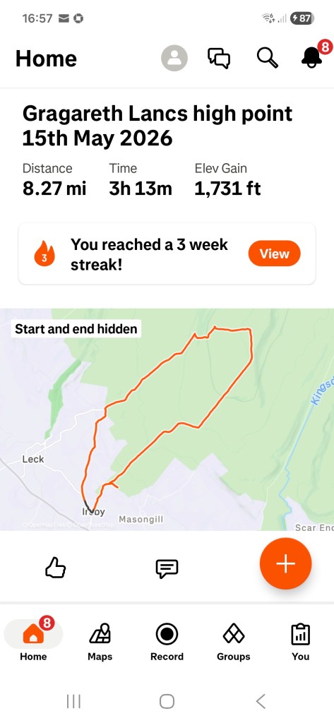
Date completed: May 15th 2026
As I needed a few days away from home at what is a difficult time of year for me for personal reasons, I decided to take my campervan to the Yorkshire Dales and bag another county high point in Lancashire while I was there. Okay, that sounds mad but although Gragareth sits within the Yorkshire Dales, it is actually in Lancashire. There is some discrepancy over whether Gragareth or Green Hill is Lancashire’s highest point but as both are named at 628m and the former is the one listed in the books, I just had to climb it.
I was camping at Thornbrook Barn Campsite just outside of Ingleton. It’s a lovely site, very peaceful and only about 3 miles from the start point for the route that I had chosen at Ireby.
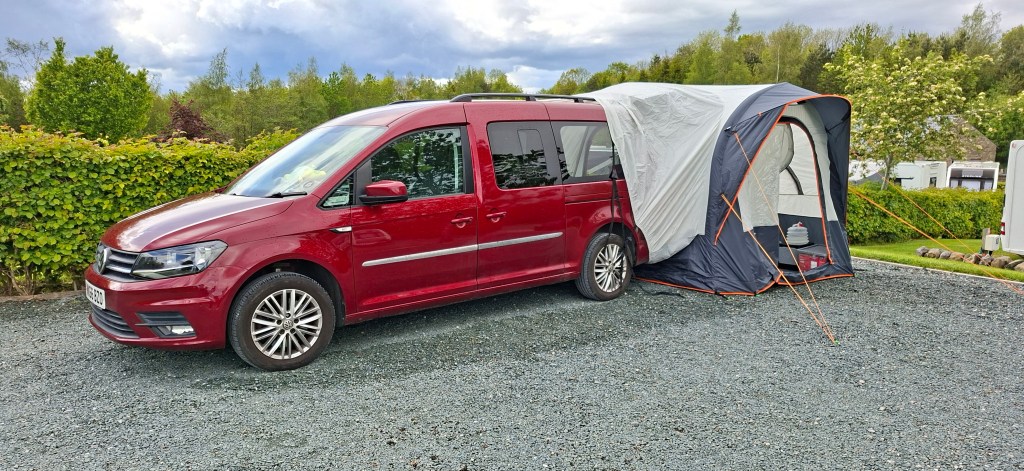
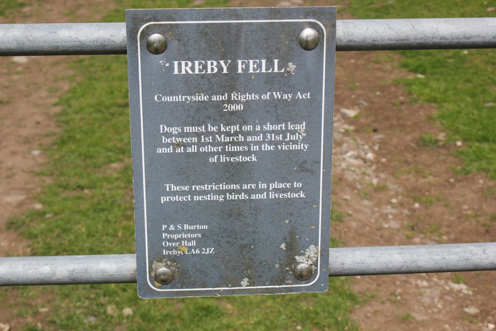
Ireby is a small hamlet and parking places were few and far between. I did manage to find a small car park leading out of the hamlet in the direction of Leck. I wasn’t even sure if I was allowed to park there but there was nothing to indicate it was private so I took my chances and left my van there.
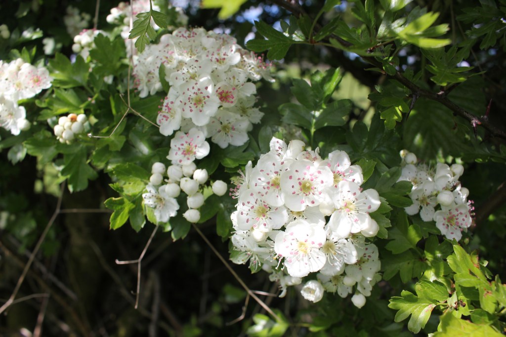
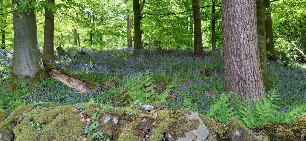
I turned right out of the car park and walked along the road for a bit towards Leck. As the lane bears to the left near Todgill Farm, there is an enclosed track off to the right. I followed this track for just over a mile passing fields of cows, sheep with lambs and masses of bluebells which were still in splendid bloom as well as blackthorn blossom, butterflies and an abundance of birds.
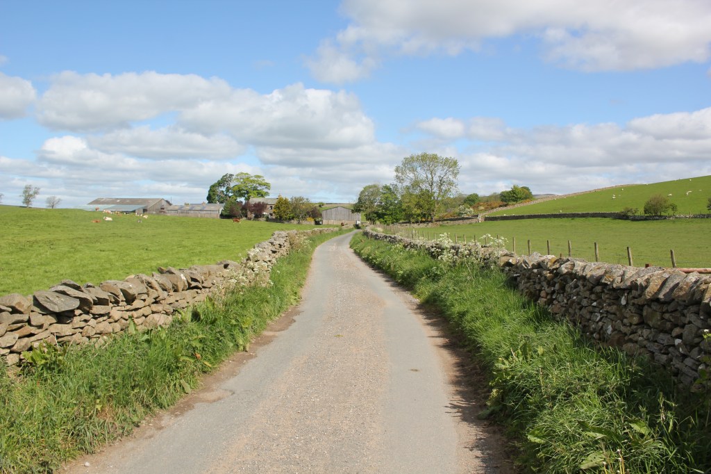
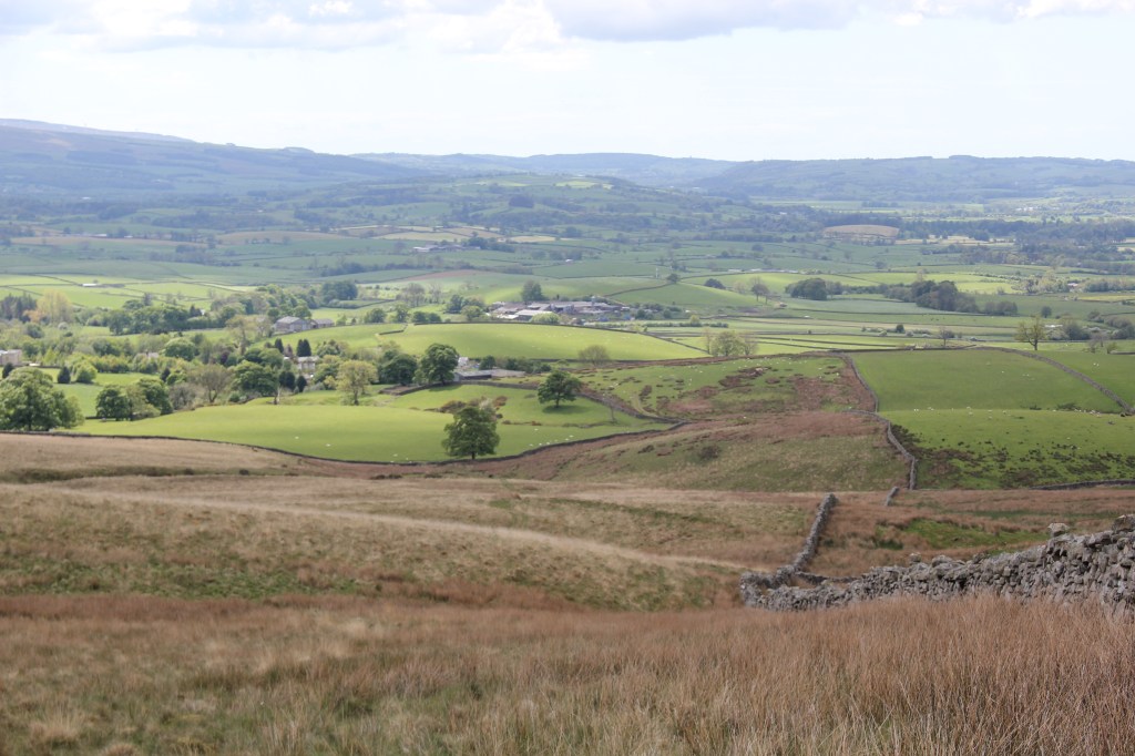
The track eventually met a road at a metal gate. I turned right onto the road and continued walking steadily uphill admiring the changing landscape. I was now surrounded by amazing views across to Morecombe Bay, the Lake District and the Yorkshire Dales. It was easy to see how isolated this area actually is. I heard and saw Lapwings, pipits, stonechats and pheasants.
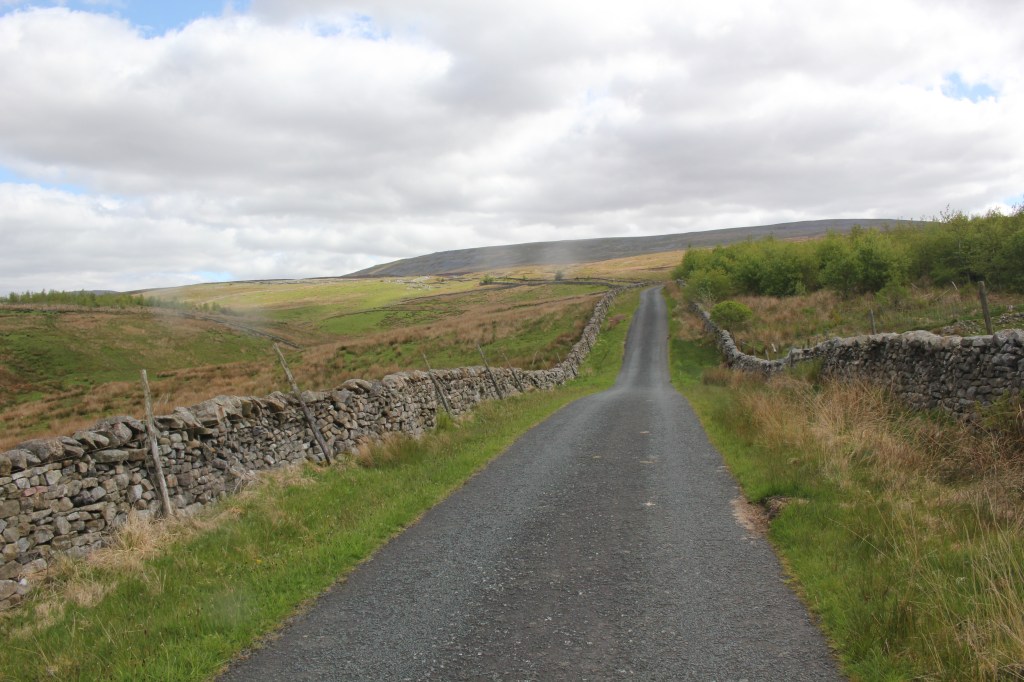
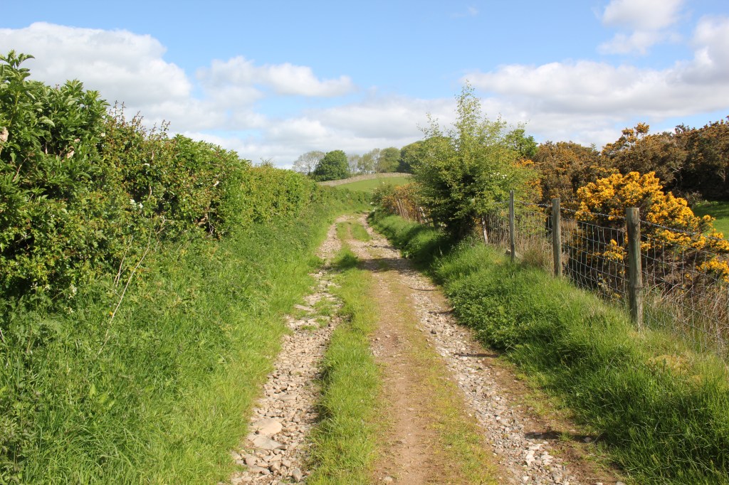
I continued along the lane for quite a while, the only sign of any human activity were a few cars parked in a layby and on the grass verge. I passed through a metal gate leading to Leck House Farm and then almost immediately passed through a wooden gate on the right onto a track again giving wonderful views across the landscape.
I walked a bit too far along the track before realising I needed to start climbing the hill to the right where I could see the cairns dotted around the hillside.
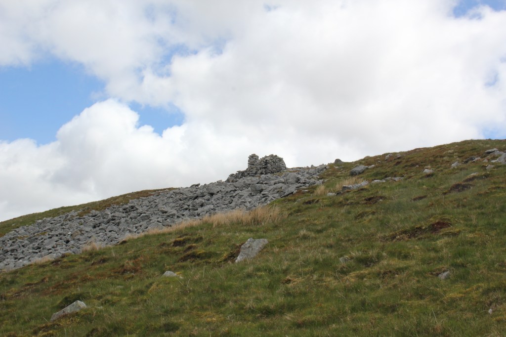
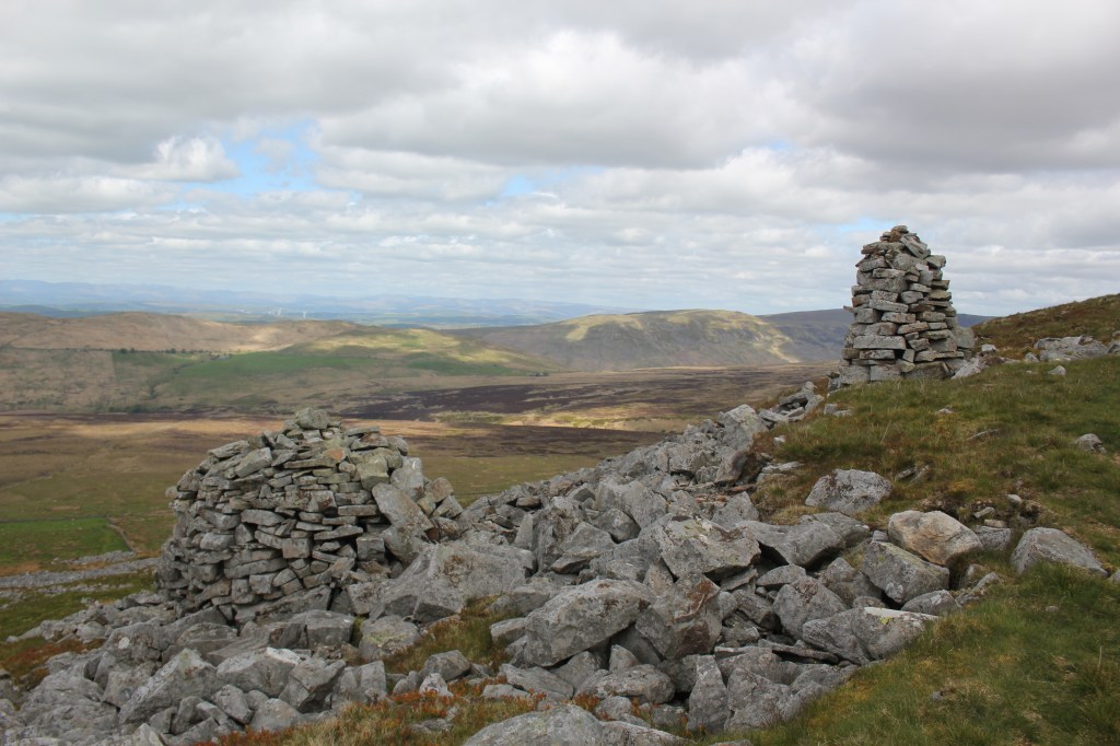
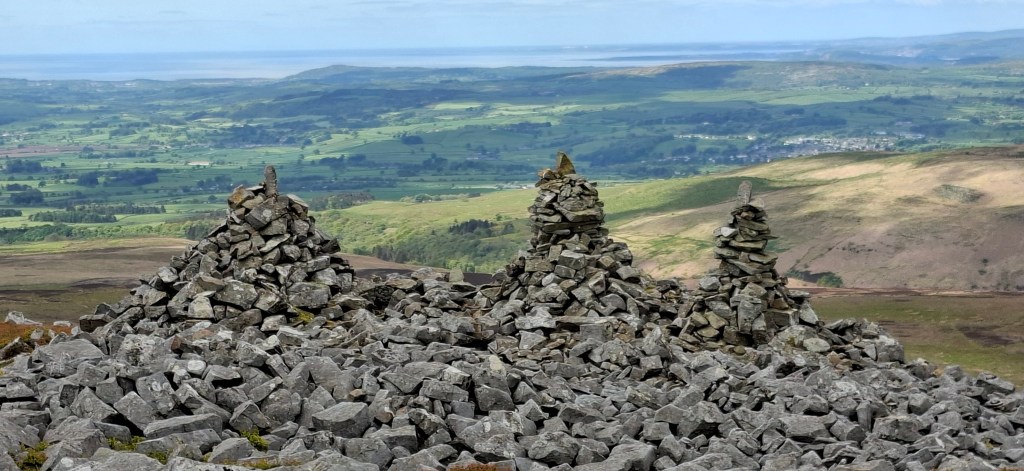
There wasn’t an obvious path so I took advantage of the grassy areas among the boulders to climb steadily up to reach the ‘Three Men of Gragareth’, a group of three tall cairns on the western side of the hill. Morecombe Bay was clearly visible in the west and the views were pretty stunning from there.
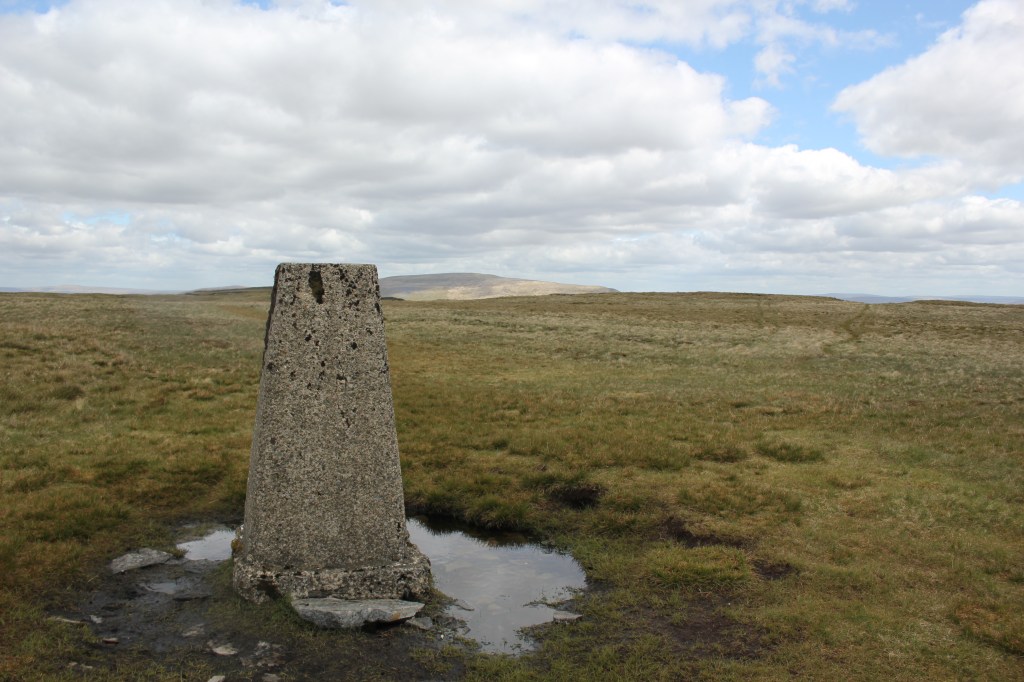
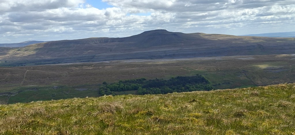
After a brief stop to catch my breath, I headed east towards where I thought the summit would be. This turned out to be the hill that kept on giving. As soon as I thought I’d reached the top, there was another section to climb. It was a steady uphill climb on uneven ground which I imagine would be very boggy after extensive rain. Finally I caught a glimpse of the trig point at the summit and took the customary photos as evidence I was actually there. As I hadn’t seen a soul all day, a selfie had to do (I hate taking selfies!!)
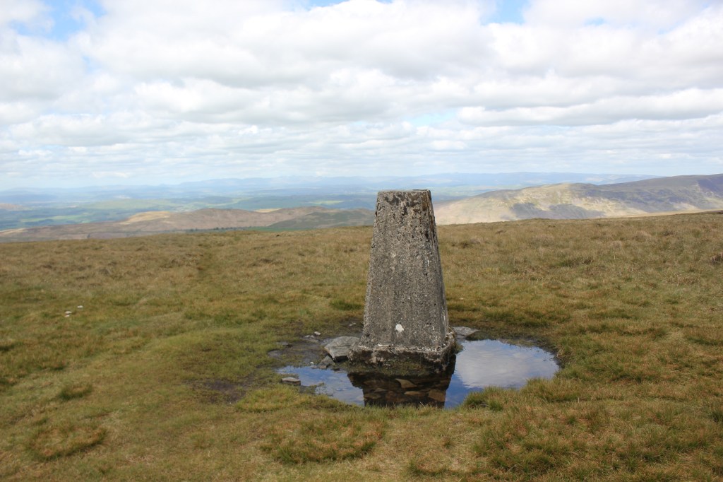
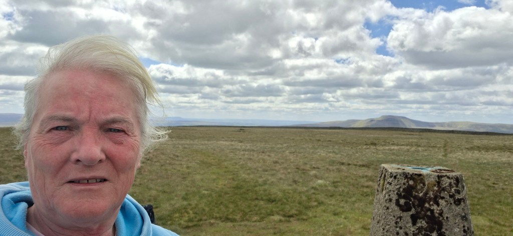
The weather conditions were just right for 360 degree views to taking in Whernside, Ingleborough, Morecombe Bay and the Lake District. It was quite cold at the top and I decided it was too cold to have my lunch there and made my way on a clear path towards the wall on the eastern side of the trig point. This wall is the boundary between Lancashire and Yorkshire and is apparently one of the highest dry stoned walls in the country that marks a county boundary.
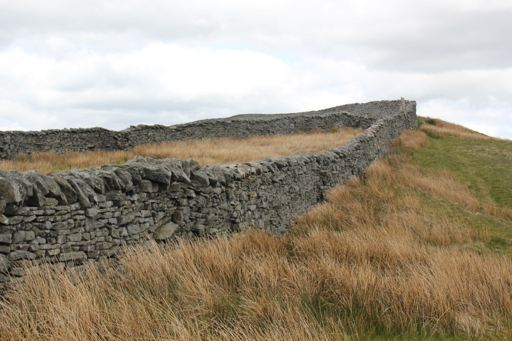
I followed the wall to the right (the wall was on my left) and headed towards a junction of two walls and a ladder stile. I had put my gloves on at the top as it was pretty cold and this could have been my downfall as I tried to cross the stile. My gloves slipped on the wood and I nearly fell off the stile!! I’m glad there was no one around to see!! As this side of the wall was more sheltered I decided to stop for lunch with a fantastic view across to Ingleborough which I have to say looked quite intimidating today!!
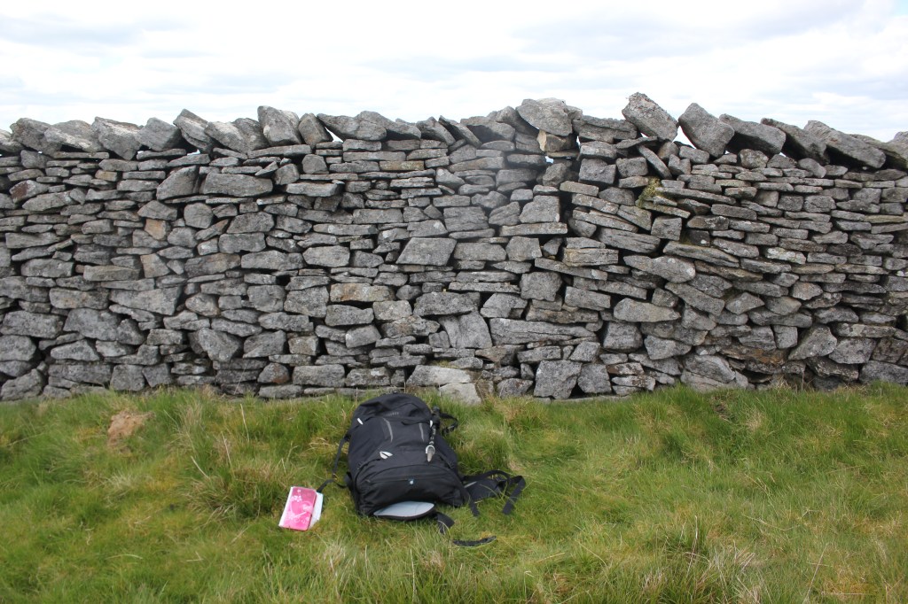
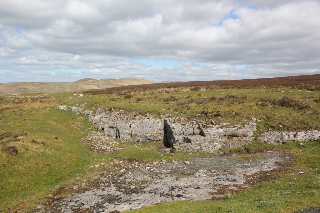
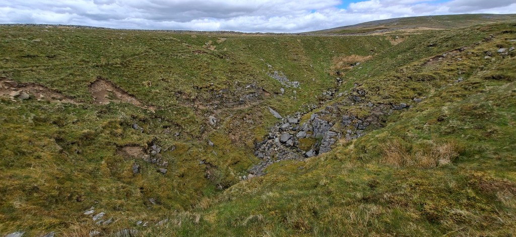
After lunch I continued to follow the wall, crossing another stile (nope, I didn’t fall off this one lol..) and the wall was now on my right. It was straightforward to continue following the wall, staying parallel to it until turning right after crossing near a derelict wooden stile and following the path west past Ireby Fell Cavern.
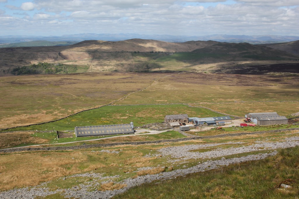
I then headed towards another wall and followed this as closely as possible so I knew I was heading in the right direction. I headed towards a lone tree by a wall. It was quite hard going as there wasn’t always an obvious path and the ground underneath was uneven and tussocky (is that even a word???). I eventually picked up a track but ended up going too far east and had to retrace my steps to find the right path going down to High Barn which eventually met a track going to a lane by the farm. Thank goodness for OS Maps!
I left Ireby Fell and followed the lane back into Ireby and back to where I had left my van.
I walked just over 8 miles and didn’t see a soul. It was a remote walk but an enjoyable and peaceful one and another county high point ticked off the list.

Leave a comment