County: South Yorkshire
Name of high point: High Stones 548m (1798ft)
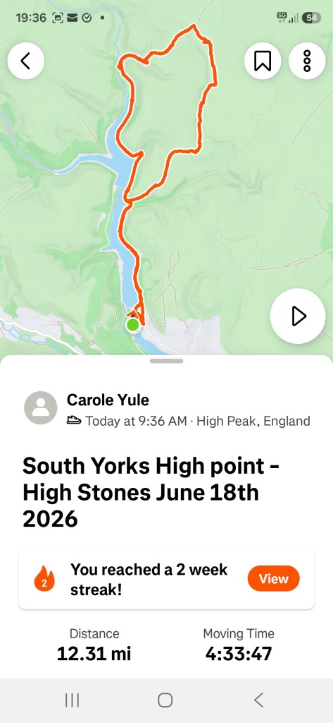
Date completed: 18th June 2026
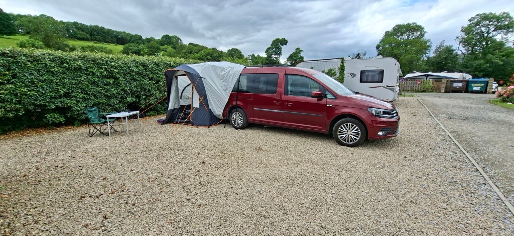
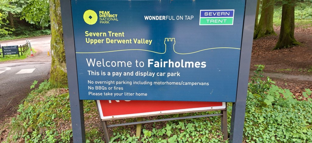
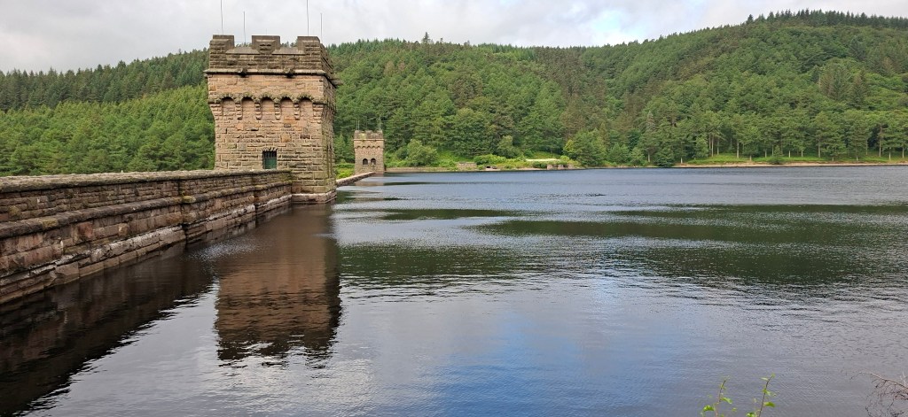
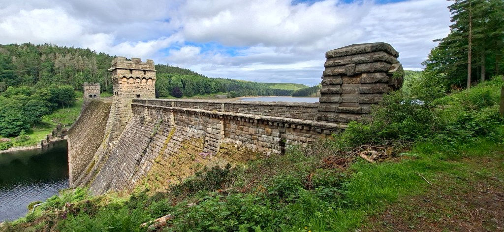
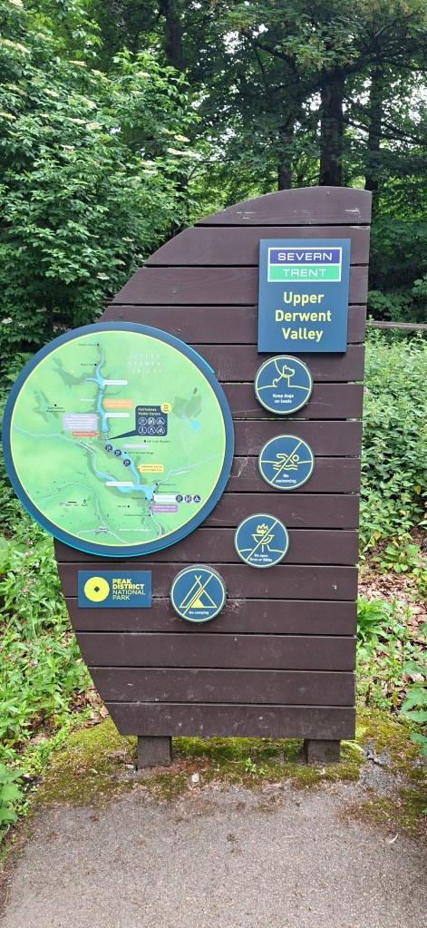
High Stones is another County High Point that is on the boundary of the Peak District and falls within the boundaries of Sheffield Council on Howden Moors. I decided to stay on the campsite ‘Laneside Caravan Park’ in the village of Hope either side of the day of my intended walk. This gave me a short drive of 7 miles to the start of the walk at Fairholmes Car Park between Ladybower Reservoir and Derwent Dam and Reservoir. This area is managed by the National Trust as part of the High Park Estate. The cost of the car park was £7 for an all day ticket. I arrived early as I thought it would get very busy at this time of year. I was pleasantly surprised to find only a handful of cars on the car park.
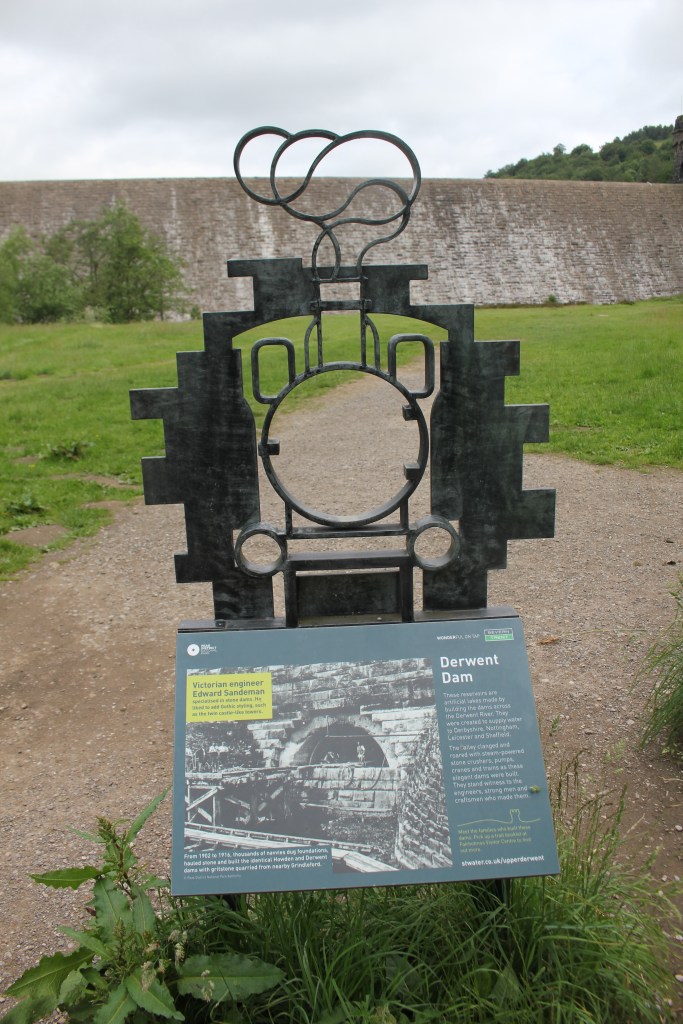
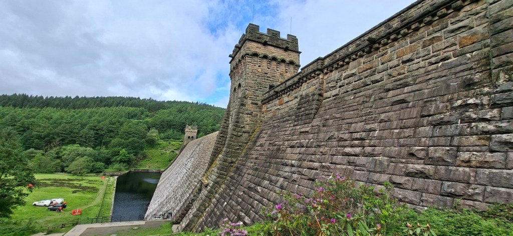
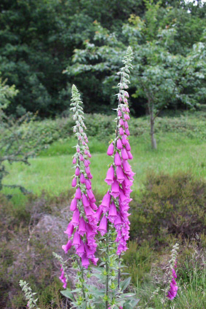
I left the car park past the information area, toilet block and cafe which was open, watching some ducks and chaffinches hanging around, seemingly quite tame. Just out of the car park is a junction where I turned right and followed it over the outflow from the Upper Derwent Reservoir. As the road bent to the right, I left it to follow the grass below the dam and up a flight of steps to reach a track on the other side passing some beautiful foxgloves.
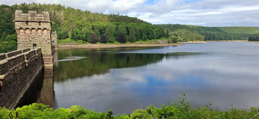
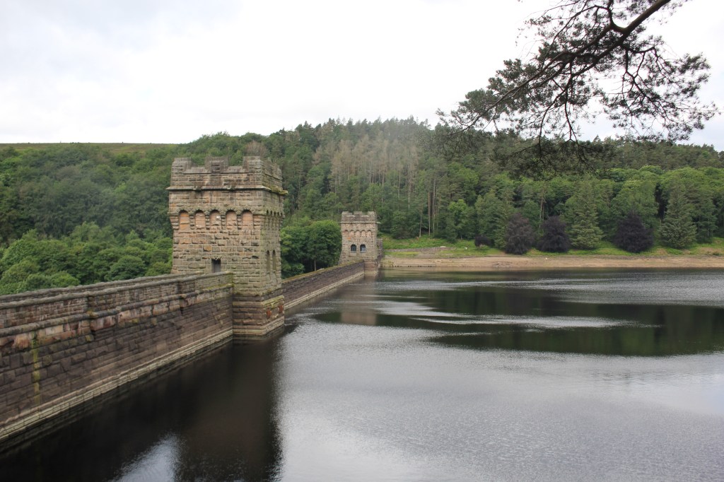
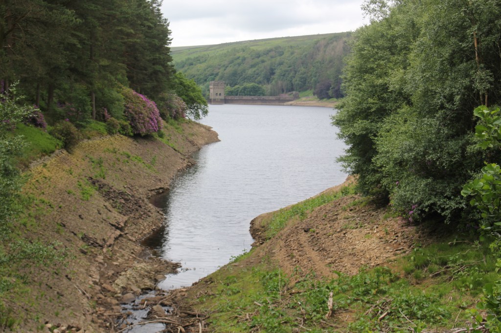
I continued along this wide track along the side of Derwent Reservoir with lovely views back towards the Dam.
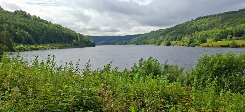
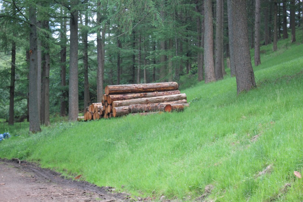
I passed over Abbey Brook Clough where a deer crossed my path to the woods on the other side but it was too fast for me to get a photo. I was looking for a footpath on the right hand side which would take me up to Howden Edge but it wasn’t clear at all where to go and by the time I realised I’d gone too far. I decided to do the planned walk in reverse so I carried on along the track past some logging piles to Howden Dam and the beginning of Howden Reservoir where there was conveniently placed bench where I had a coffee and photo stop.
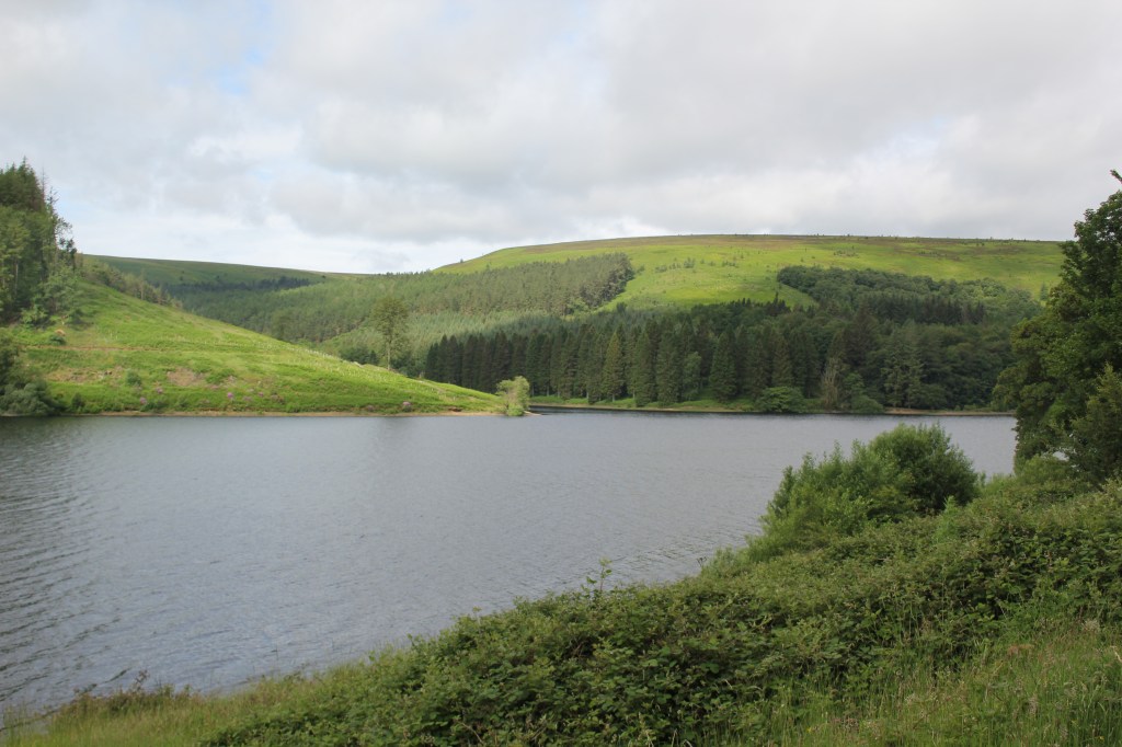
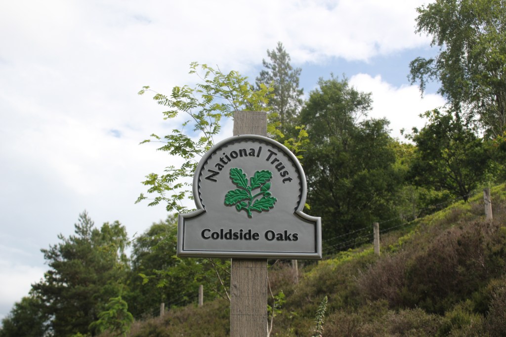
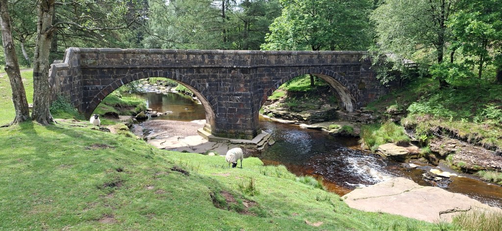
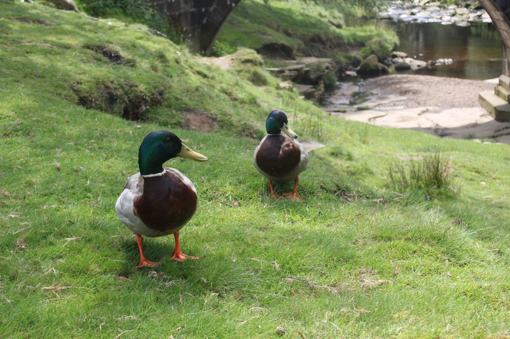
I continued on the track alongside Howden Reservoir, around Howden Clough through Cold Side Oaks and Cold Side clough all the way to Slippery Stones. As it was quite a warm day I decided to have a rest at the bridge where I was greeted by two male mallards. Unfortunately, I didn’t have anything for them to eat.
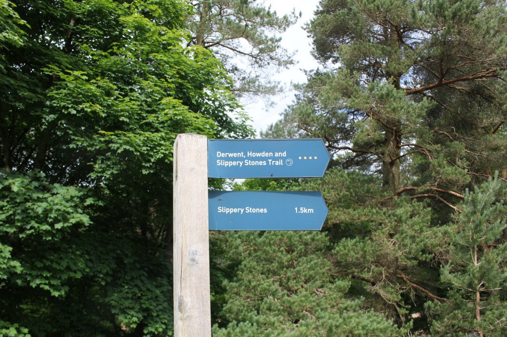
After a brief rest, I walked back to the signpost to decide which was the right path to take me up to Howden Edge.
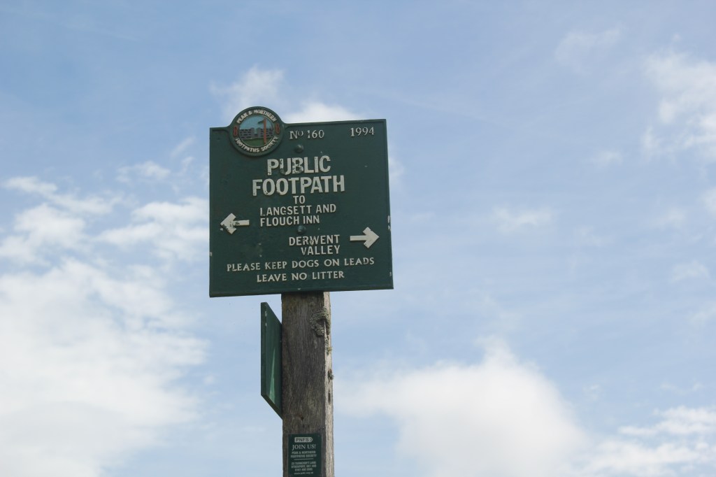
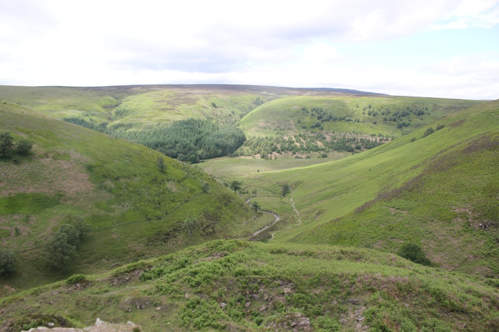
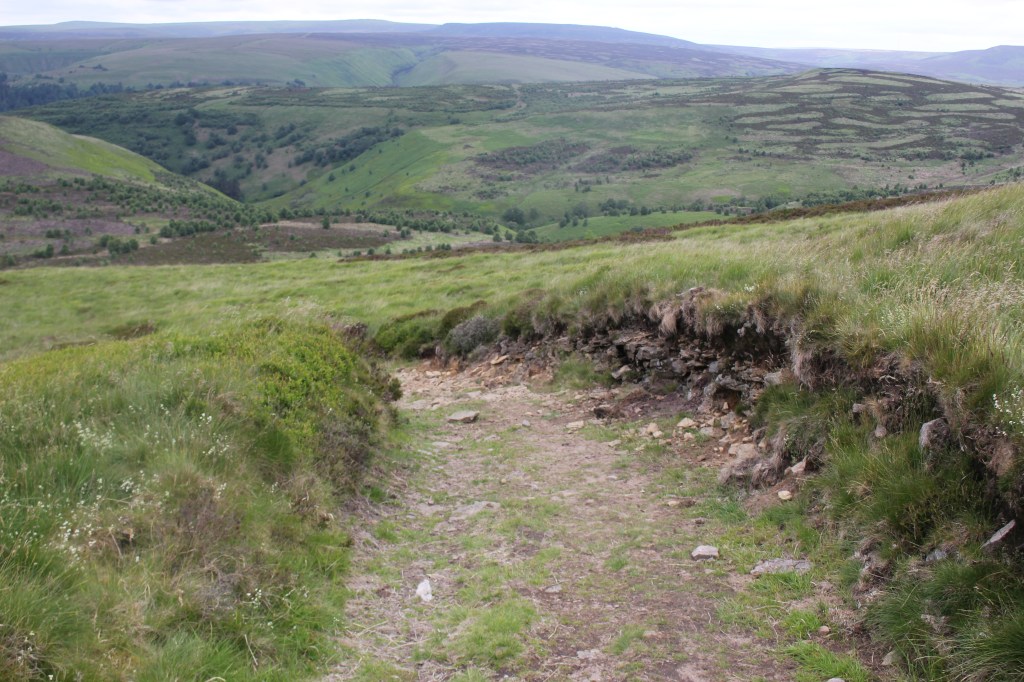
It wasn’t a particularly helpful signpost so I made use of OS Maps and my own paper map (OS Outdoor Leisure1) of the Dark Peak area to make sure I was going in the right direction. It was a steady climb up Cranberry Clough with plenty of rest and water stops. The view back down into the Derwent Valley was spectacular.
There was plenty of wildlife to be seen in the area with grouse being startled by my presence, meadow pipits, lapwings and a buzzard circling overhead looking for dinner.
I continued climbing steadily on a paved footpath reaching a cairn before turning right onto Howden Edge.
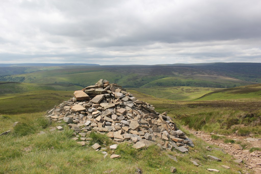
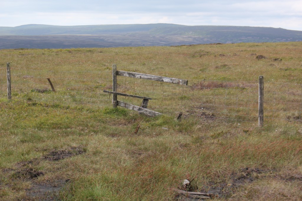
From here the path wasn’t obvious and I had to find my way through the peat bogs on Marsden Moor along the ridge. It was very remote on this part of the walk and having finally retrieved a signal I had to use OS Maps to make sure I was heading in the right direction towards Margery Hill. Eventually I could see the trig point at the top of the hill (546m 1791ft) but there was a fence with no sign of a stile to reach it. After walking up and down a bit I eventually found the remains of a wooden stile which had definitely seen better days and crossed it to walk to the top of the hill where I had a well deserved lunch break. This was Margery Hill and Margery Stones.
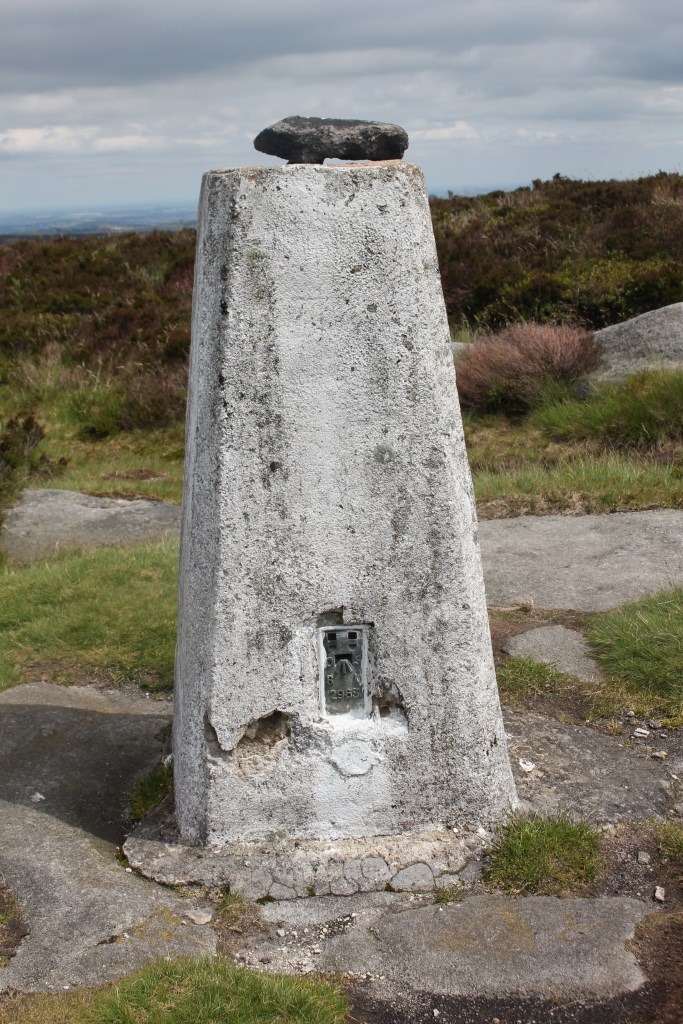
Margery Hill is the highest marked point within the City of Sheffield boundary. It is believed to be part of a Bronze Age burial mound and has been designated a Scheduled Ancient Monument by English Heritage.
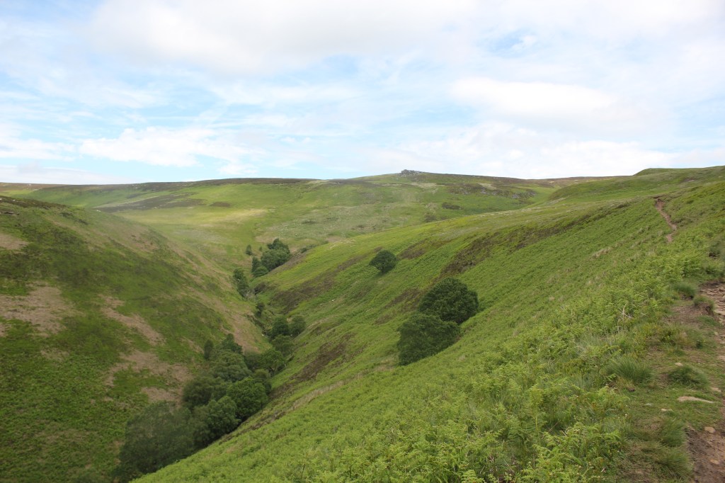
The next part of the walk was probably the hardest and least spectacular. There was no defined path in places and the terrain underfoot was tussocky, peaty and difficult to walk on.
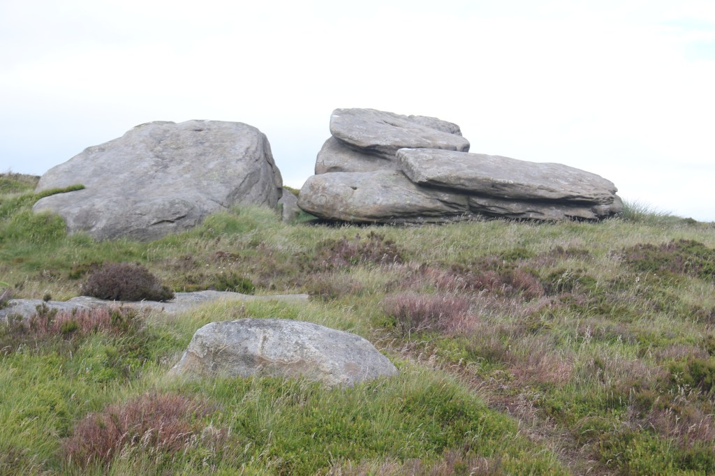
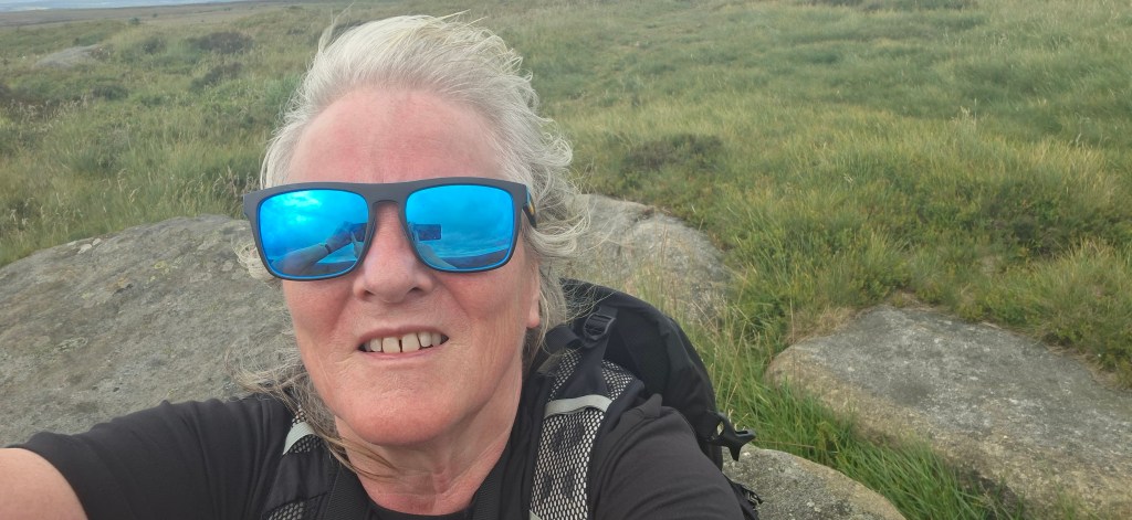
I could see High Stones in the distance so I continued to walk towards it with a few expletives occasionally when the uneven terrain played havoc with my ankles! I have to say it was very underwhelming when I got there. There was no obvious peak marker although the land had risen slightly to 548m (1796ft) 2m higher than Margery Hill. I found what I thought was the highest piece of land and took the obligatory photos.
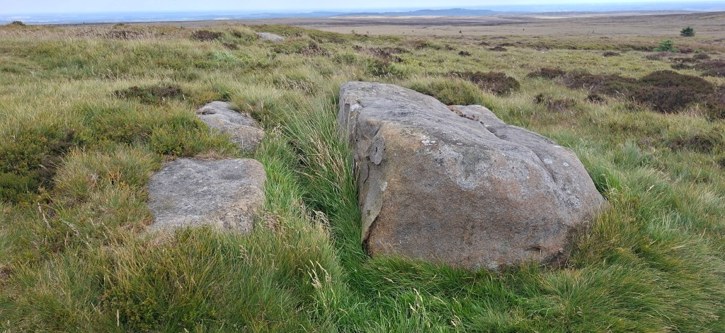
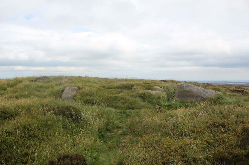
Wikipedia indicates that there is a tall cairn at the top but there was definitely nothing there this time. Google indicates that the summit is marked by a large, rocky peat lump and a small natural cairn. According to OS maps I was stood at the highest point so I will take that as evidence I was at the top. I suspect the cairns have disappeared!!
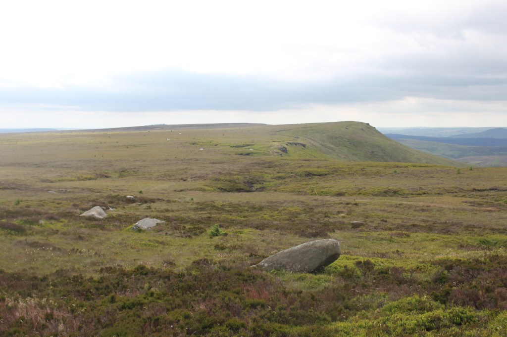
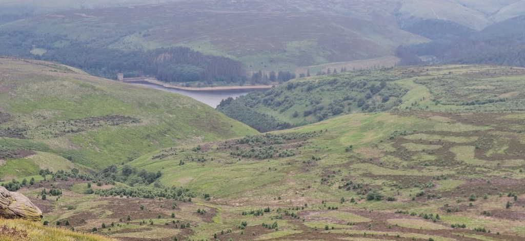
Slightly disappointed but pleased to have ticked another one off, there was a fabulous view down to the reservoir as I started my descent.
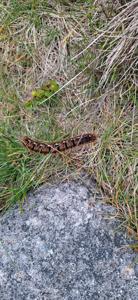
More expletives as the ankles took another bashing, I was at least able to follow a defined path which took me downhill along Howden Edge. I saw a beautiful caterpillar on the way.
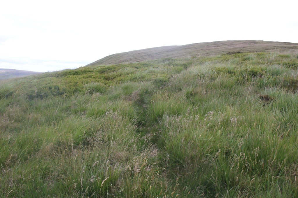
I finally reached a much more defined track which made walking much easier.
I followed this undulating path for quite a while before eventually reaching a wooded area which took me back down to Derwent Reservoir where I retraced my steps back to the car park.
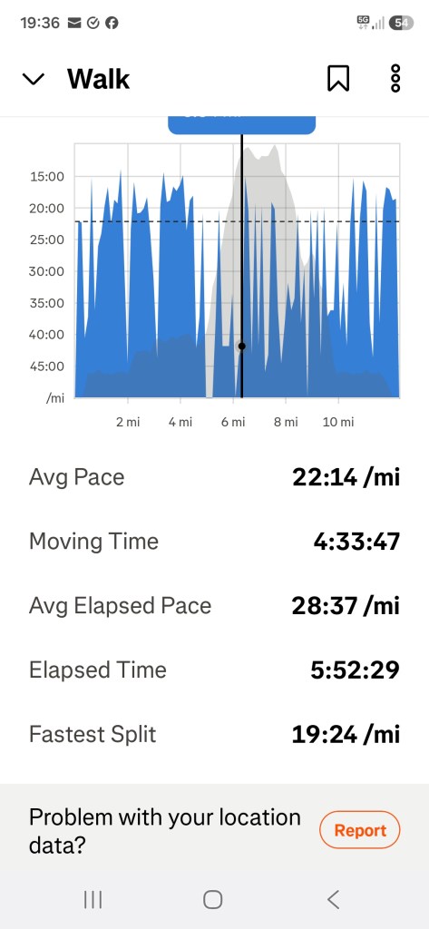
I walked a total of 12.31 miles and although the county high point was a bit disappointing the walk itself provided some stunning scenery.

Leave a comment