County: Norfolk
Name of High Point: Beacon Hill 103m (338ft)
Date completed: 3rd July 2026
This county high point was combined with a trip to Norfolk to see an elderly relative and catch up with my brothers. Norfolk is the county where I have so many memories from all stages of my life from childhood right through to the present day. It certainly has a feel of ‘home’ about it with Mum originating from the city of Norwich.
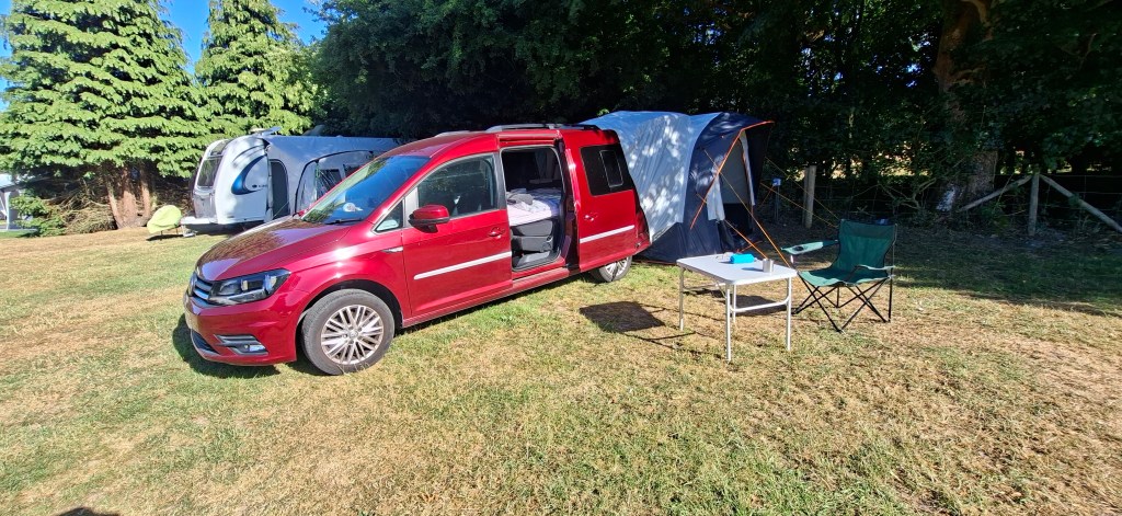
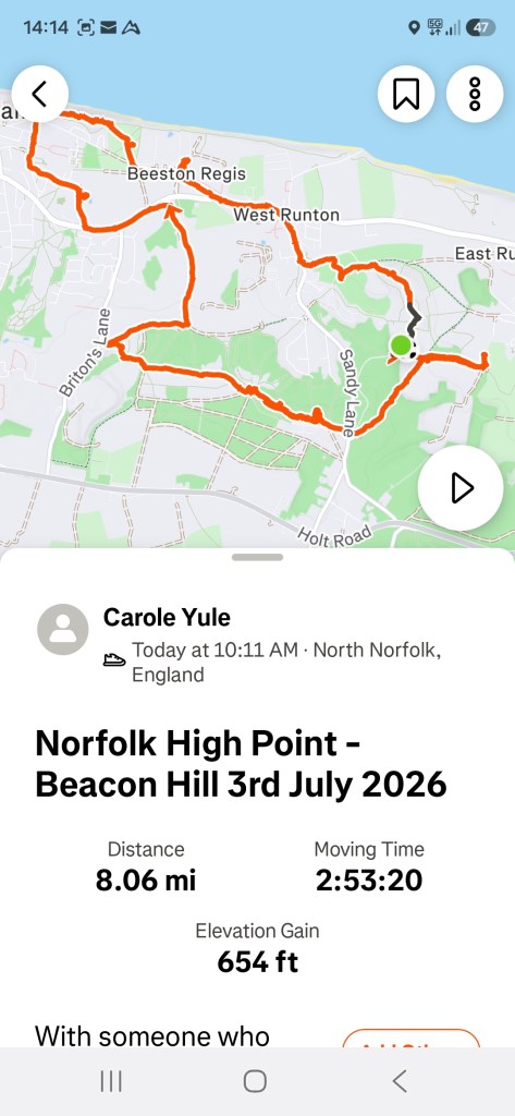
I stayed at a campsite in West Runton quite close to where the high point is located and set off bright and early before it got too hot. I had a route I was going to follow but as I was starting from the campsite, I had to tweak it a little.
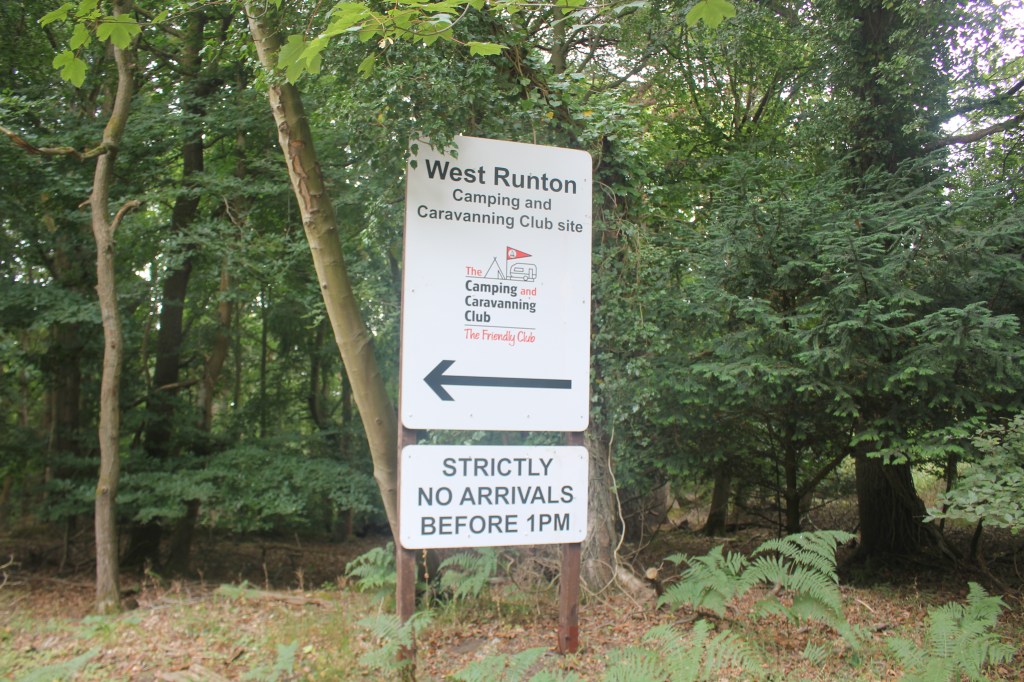
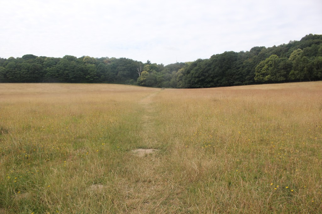
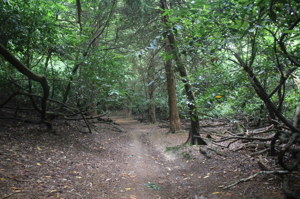
I followed what I thought was the right path out of the campsite but ended up going too far along the footpath and should have taken a right turn before I did. Good start!! I had to retrace my steps to find the path that led across the meadow into the woods following a path uphill to reach the car park at the top on Sandy Lane and the vehicle entrance to the campsite.
I crossed the road to a track on the opposite side and almost immediately found the Roman Camp and the highest point in Norfolk. It wasn’t obvious which bit was the highest but there was flag pole in the middle of what looked to be the high point. OS Maps didn’t really help as the contour line wasn’t marked with a height. I did wander further along the track to see if there was any other indication of where it was exactly but soon realised I was in the right place. I have to say it was the second high point in a row that was incredibly underwhelming but another one ticked off nonetheless.
Beacon Hill is part of the Cromer Ridge, a ridge of old glacial moraines which are meant to be the frontline of the ice sheet during the last Ice Age. The area is known as the Roman Camp but there’s no evidence of any Roman occupation on the site. The name is believed to be thought up by 19th century cab drivers to make it more appealing to tourists!
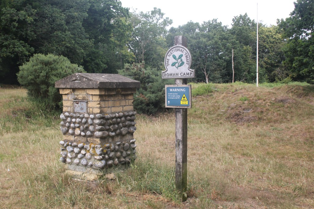
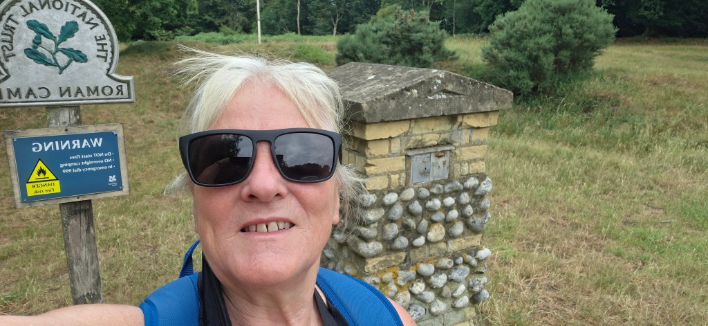
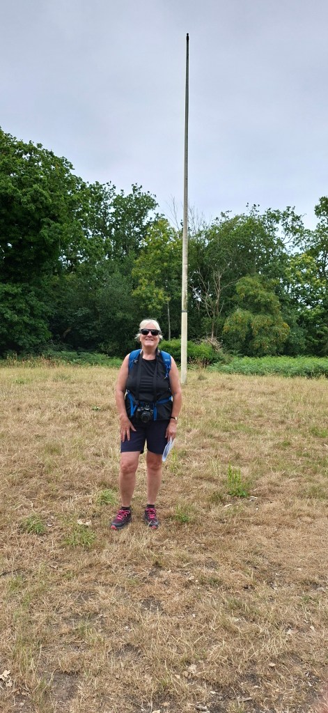
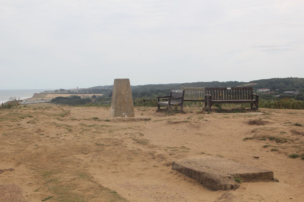
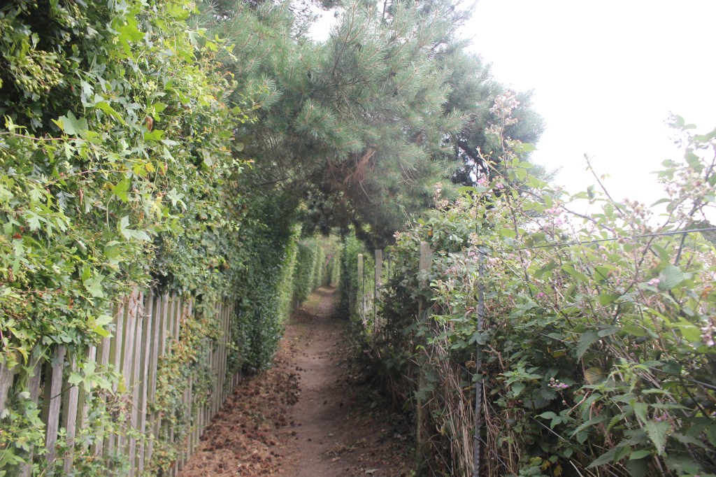
Feeling very underwhelmed ( I do like a trig point!!) I set off along the track on a section of the Norfolk Coast Path before taking a right turn running parallel to the driveway of a very nicely located private house. This path went through the woods for about 750m until the path split. A right turn here followed by another left turn took me to a stone column and a bench on Beeston Heath with a lovely view across to Beeston Bump and the North Sea. A good place for a coffee stop!
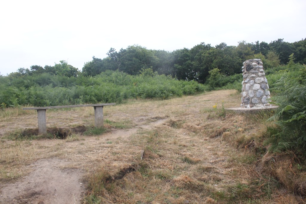
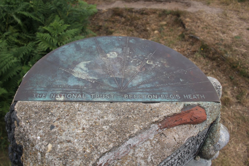
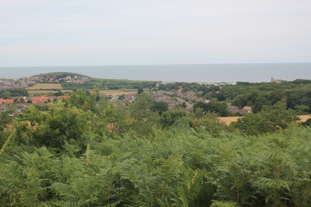
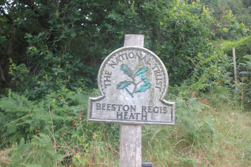
Directly in front of the bench was a footpath leading downhill to a NT Beeston Regis Heath sign by a driveway about 100m away.
Immediately right is another footpath running alongside the woods and fields which eventually comes to a track near another very pretty private residence.

I followed this driveway / track past a farm and some other stone cottages, past Beeston Hall School and out onto a road in where I turned left up to another road junction.
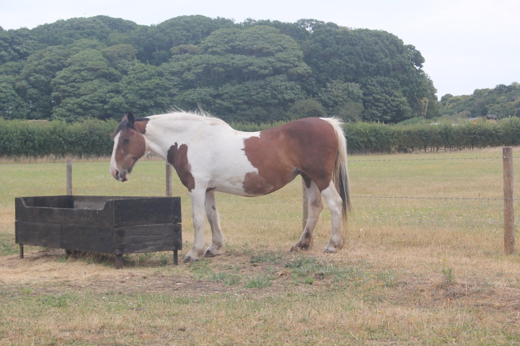
I turned left here and followed the main road through the pretty village of Beeston Regis looking for a gravel driveway on the right hand side of the road and a public footpath leading immediately off to the left towards the priory ruins of St Mary in the Meadow which are definitely worth exploring.
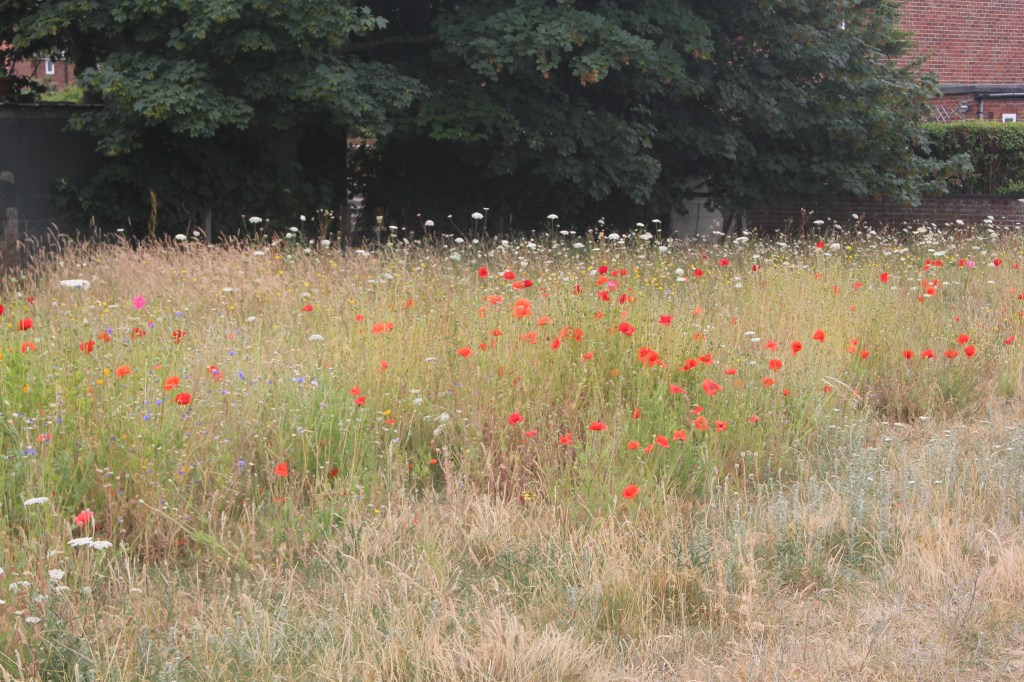
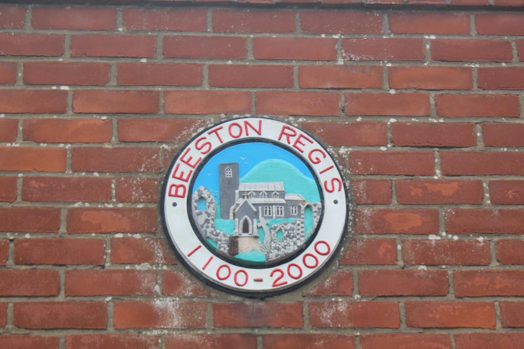
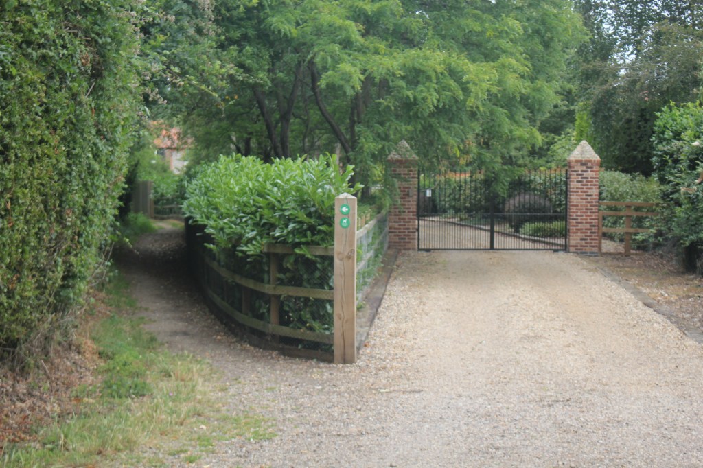
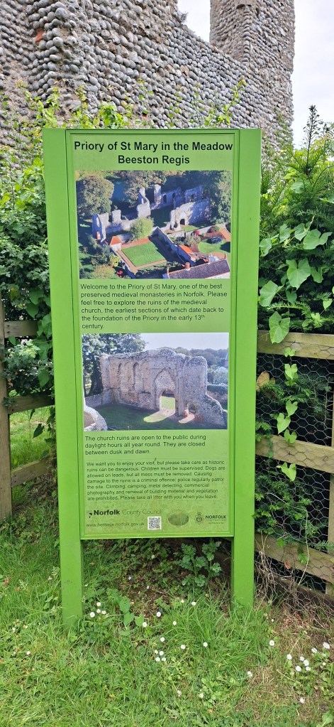
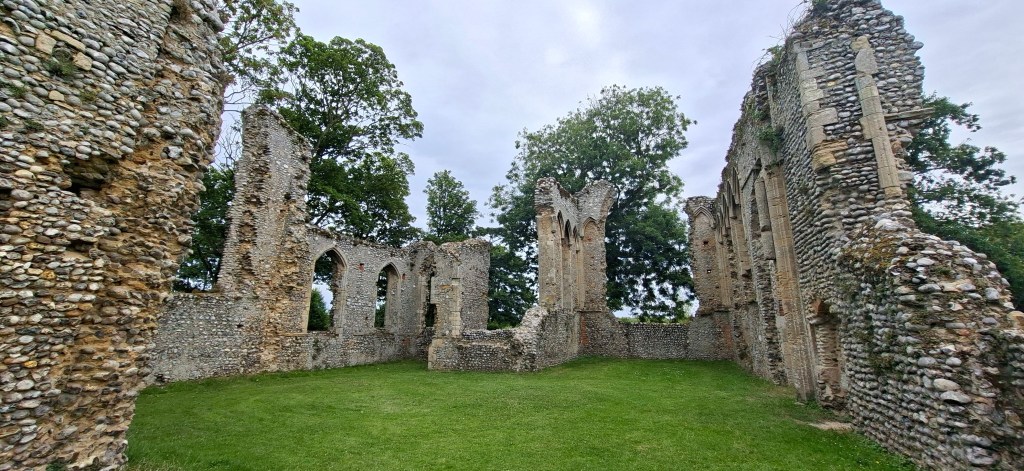
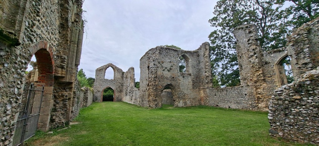
After leaving the priory ruins I continued on the path eventually meeting a track by a wooden post. I turned left here and followed the road until it bent to the left, taking the path straight on with a white metal barrier on the left. This went past a stream and some very pretty houses before reaching another road.
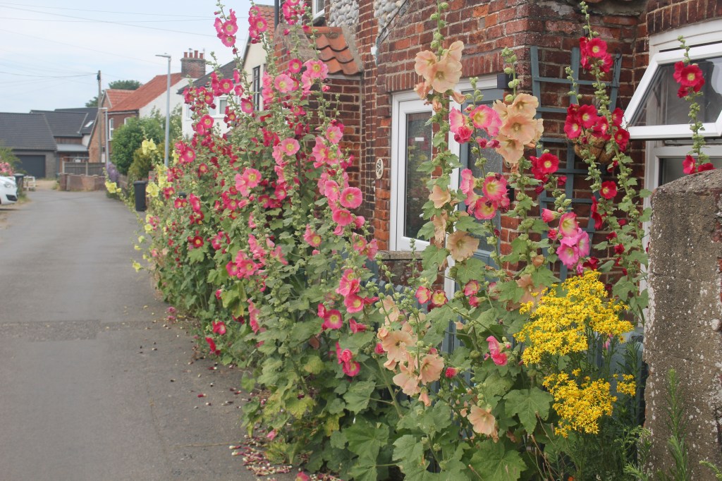
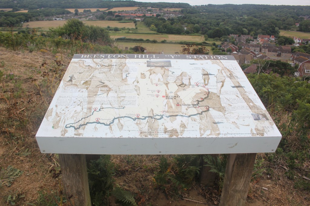
At this junction I turned right and followed the road under the railway line and as it bent to the right I took the road straight ahead – (Curtis Lane) until it reached another junction. Opposite was a footpath swinging to the right towards Beeston Bump. Eventually this path meets the main path to the summit. There is a trig point and a Y station from WW2 at the top.
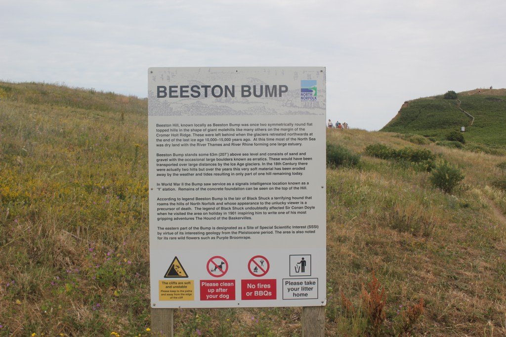
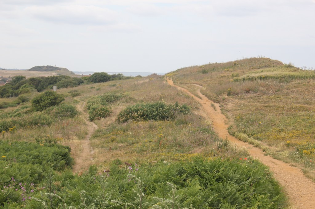
I had my lunch at the summit enjoying the wonderful views of the Norfolk coast to Sheringham and West Runton.
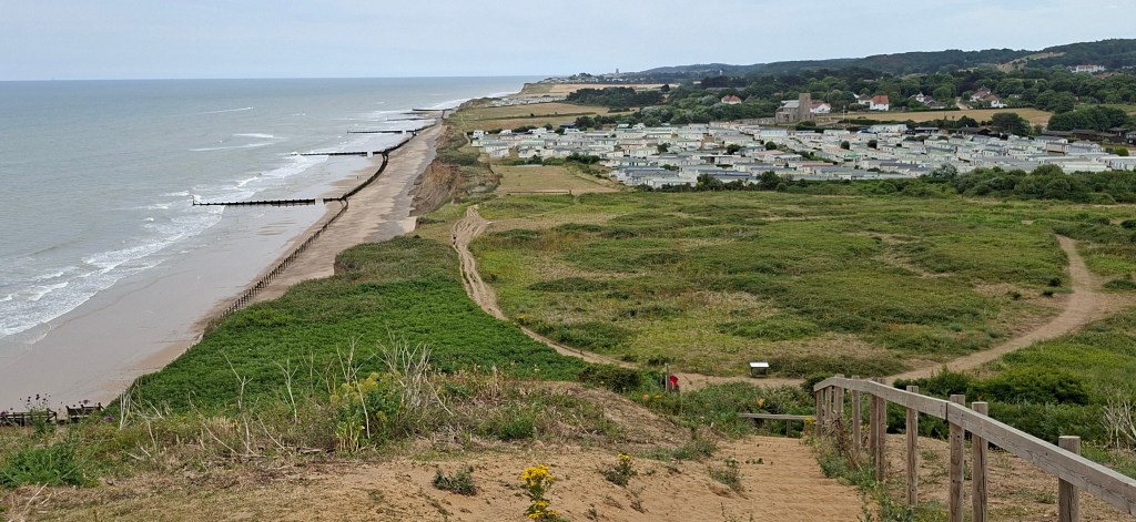
After lunch I came down the hill to reach a bench and another information board. A path at 45 degrees leads to the railway line and a white house where I picked up a footpath that follows the railway line past the old controllers box, past a church which I went to have a look at and then past some houses all the way to a road.
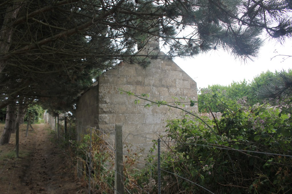
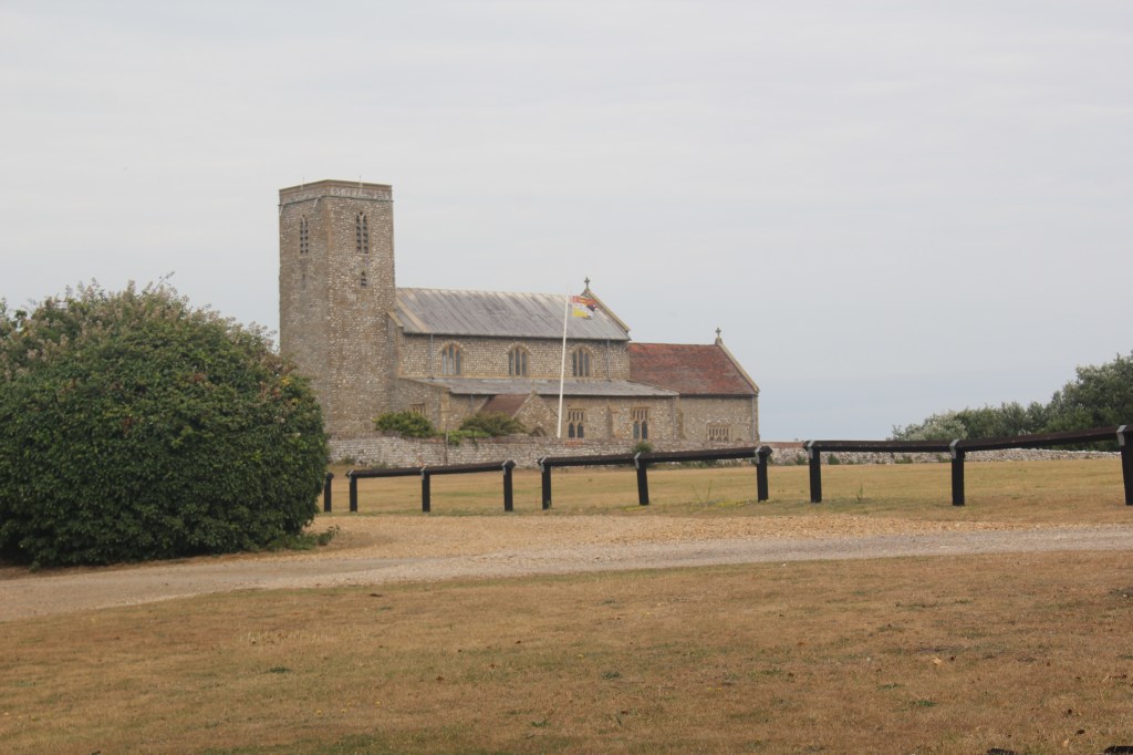
A left turn at the road took me through West Runton to another junction signposted to the railway station and the Shire Horse sanctuary. I turned right here to go over the railway line to the junction with Station Close. A left here and then a right through the golf course eventually took me to the bottom of Incleborough Hill. I followed the path to the summit passing places with some great views back to the coast.
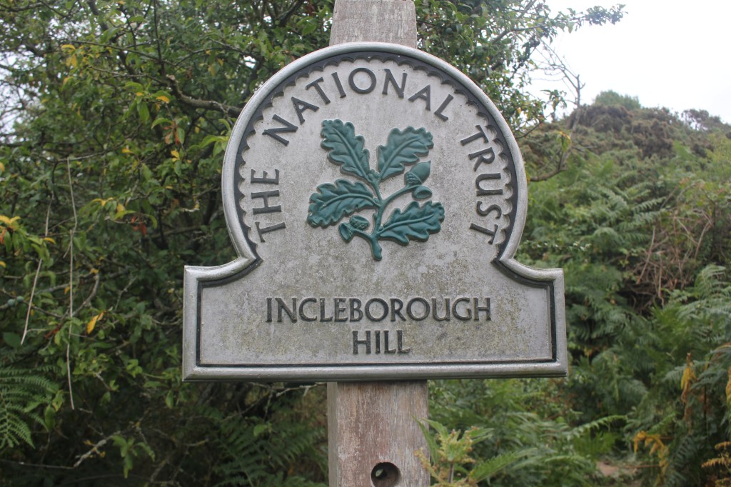
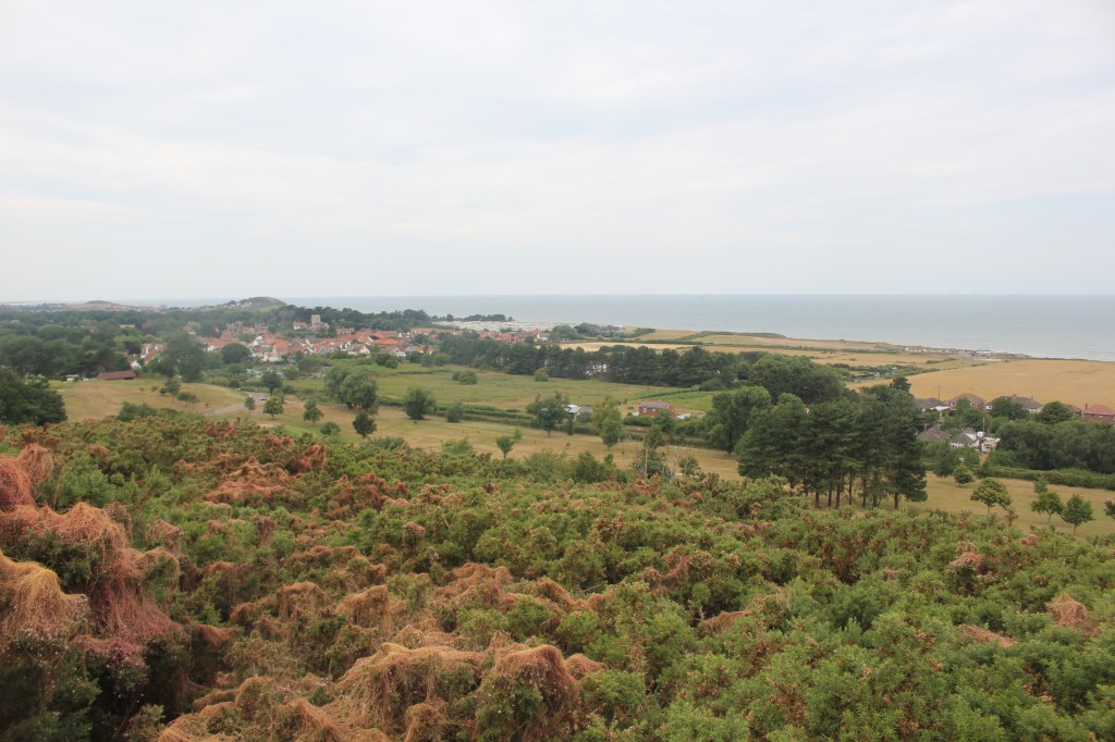
The campsite was easily accessible from here and I made my way back to my van for a well deserved rest. A total of just over 8 miles, an uninspiring county high point but a lovely walk nonetheless with another one ticked off. Unsurprisingly, this is the second lowest in England with only the City of London being lower.


Leave a Reply