County: Devon
Name of High Point: High Willhays 621m (2037ft)
Date completed: September 11th 2026
A trip back to my old stomping ground on Dartmoor in Devon (Ten tors and Duke of Edinburgh Award during High School days). I was staying with my brother and sister in law for a few days and I roped them in to completing their third county high point with me.
This walk is partly within a live firing range but we had checked previously that public access was permitted today. Red flags flying from observation points on the range boundaries indicate when there is live firing taking place but today we were fine.
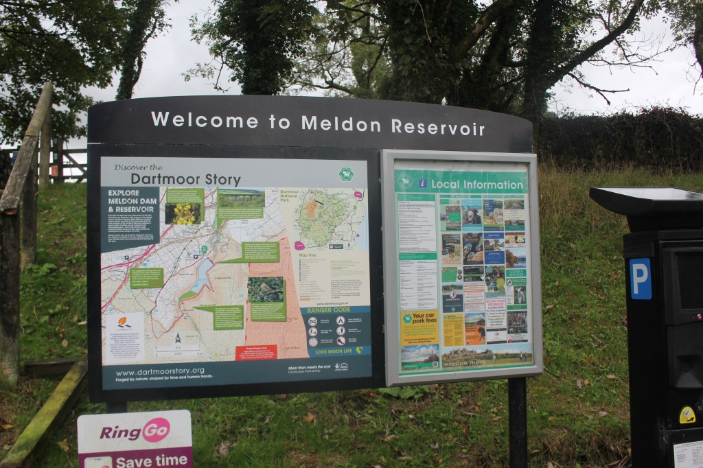
We started the walk from the car park at Meldon Reservoir which has toilets and a map of the area. We left the car park through a gate and turned left to cross Meldon Dam.
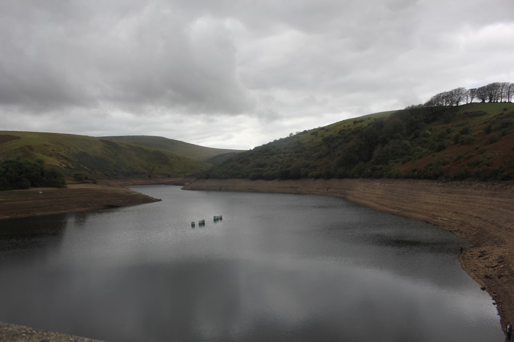
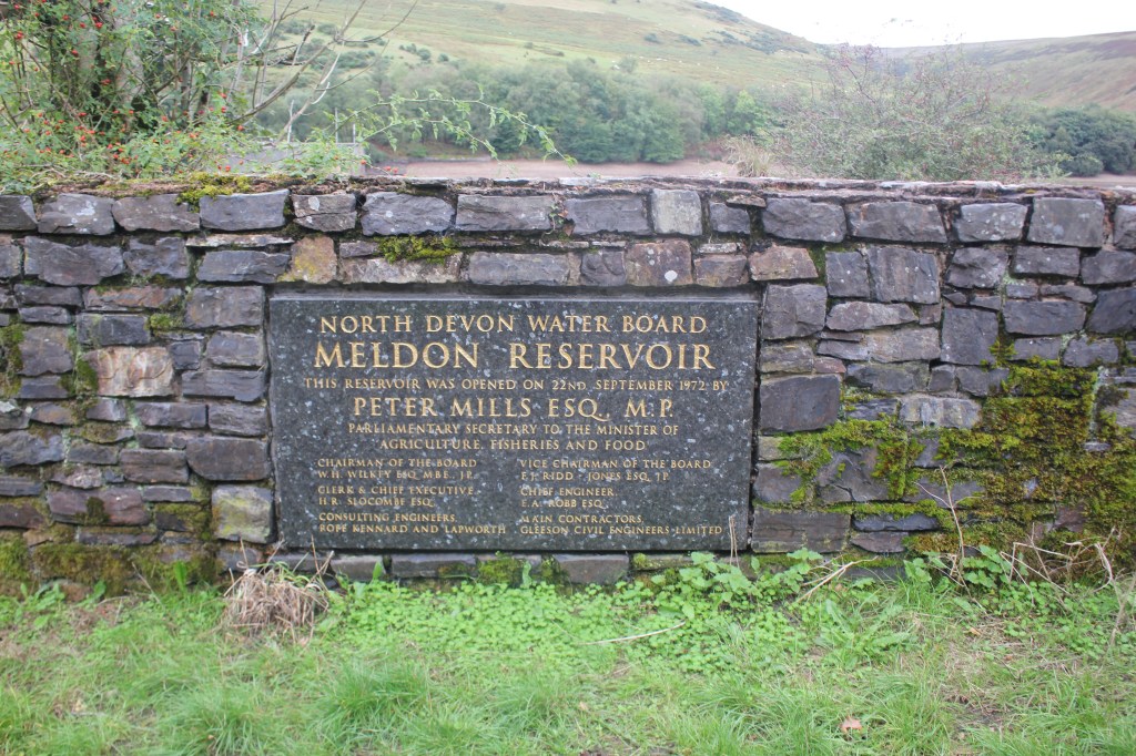
The reservoir levels were very low after the long, dry summer. The dam was constructed in 1972. This was originally a natural valley but the reservoir is now part of a flooded valley.
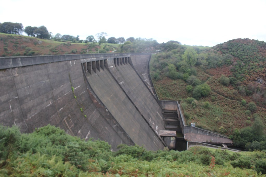
At the end of the dam we turned right following a track along the shore of the reservoir before climbing the hillside away from it and following the obvious uphill track round the end of Longstone Hill.
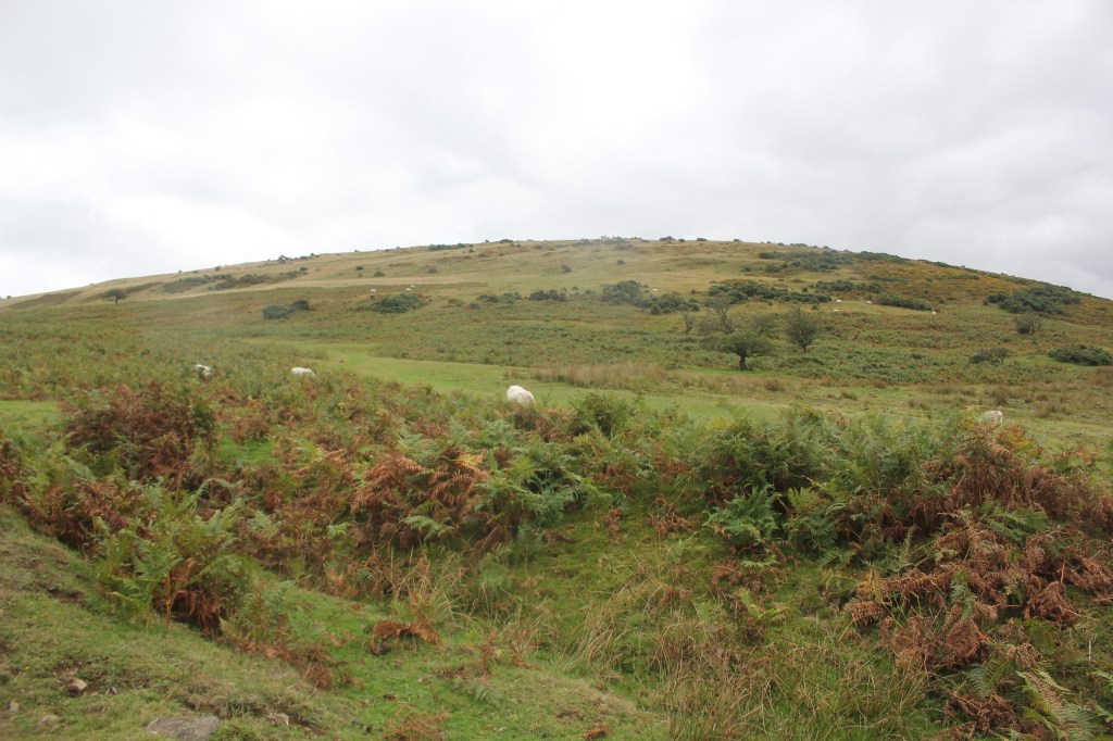
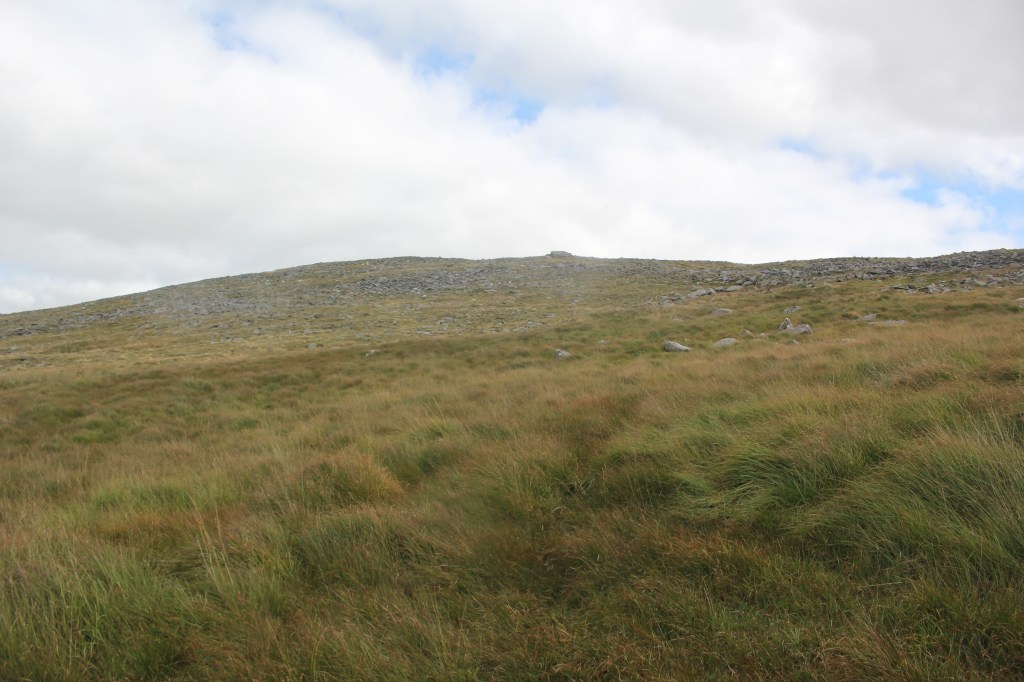
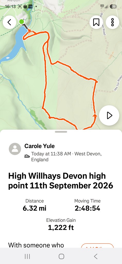
As the path began to level out we were supposed to take a track off to the left to make our way to the trig point at the top of Yes Tor which wasn’t visible at this point. We decided we were still climbing and this is where we made our mistake, carrying on along the track heading towards Black Tor. We had walked quite a way along the track before we realised we were off route and now doing the planned walk in reverse. This was confirmed after asking some local people where Yes Tor was.
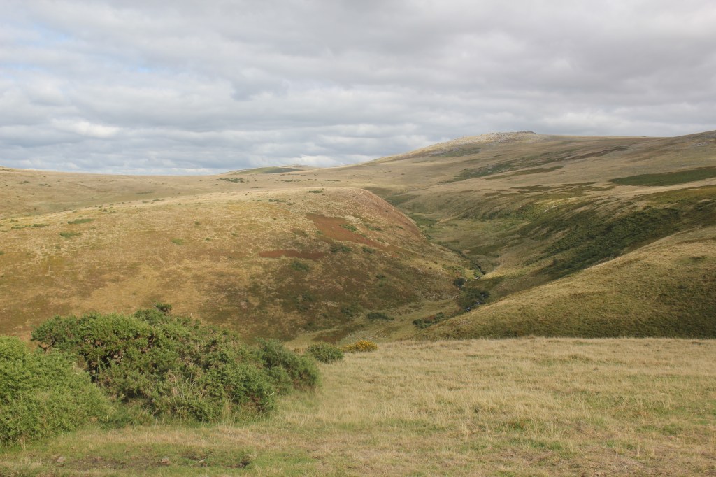
So we continued heading towards Black Tor at 488m (1302ft), impressive in itself. It overlooks the West Okement River and there are stunning views across the valley.
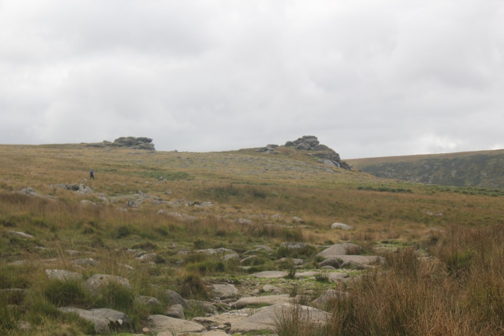
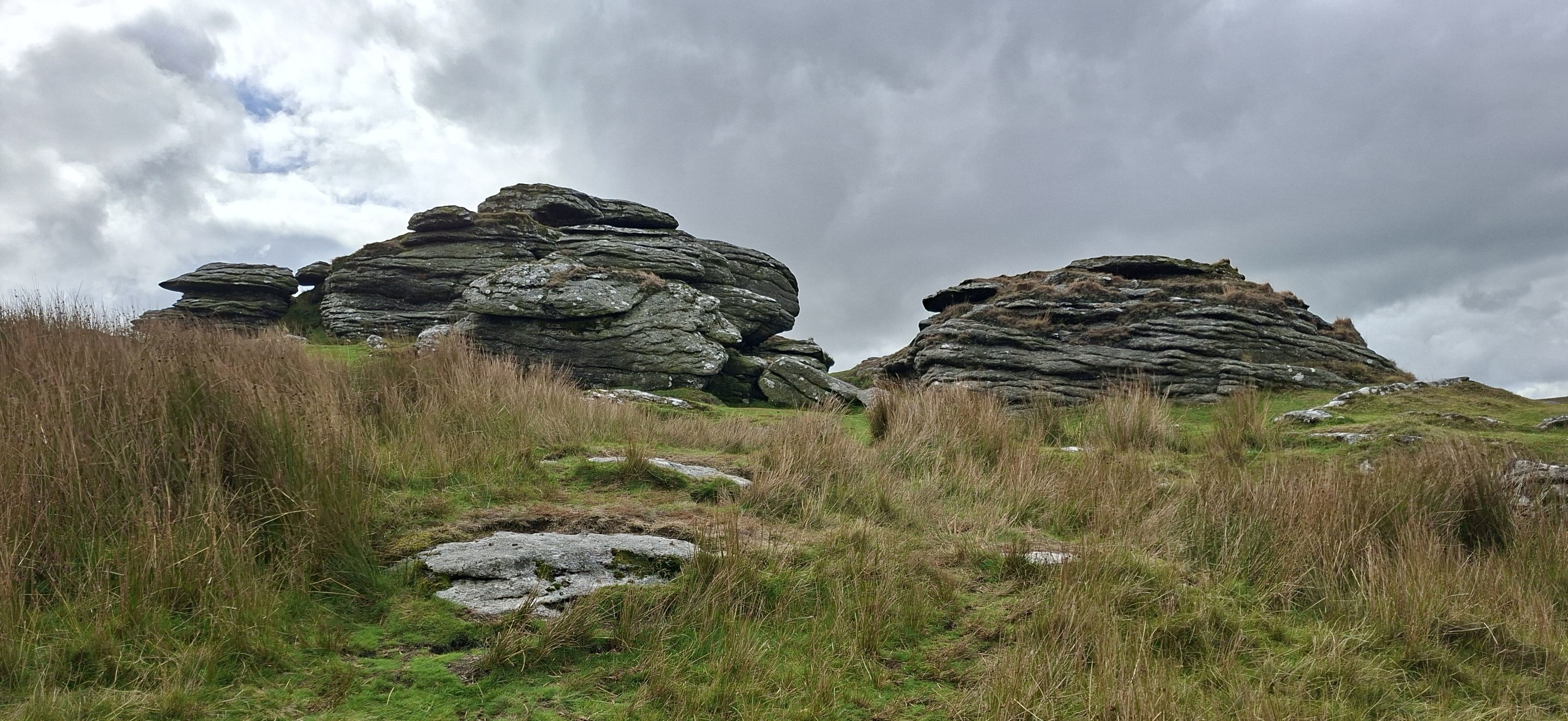
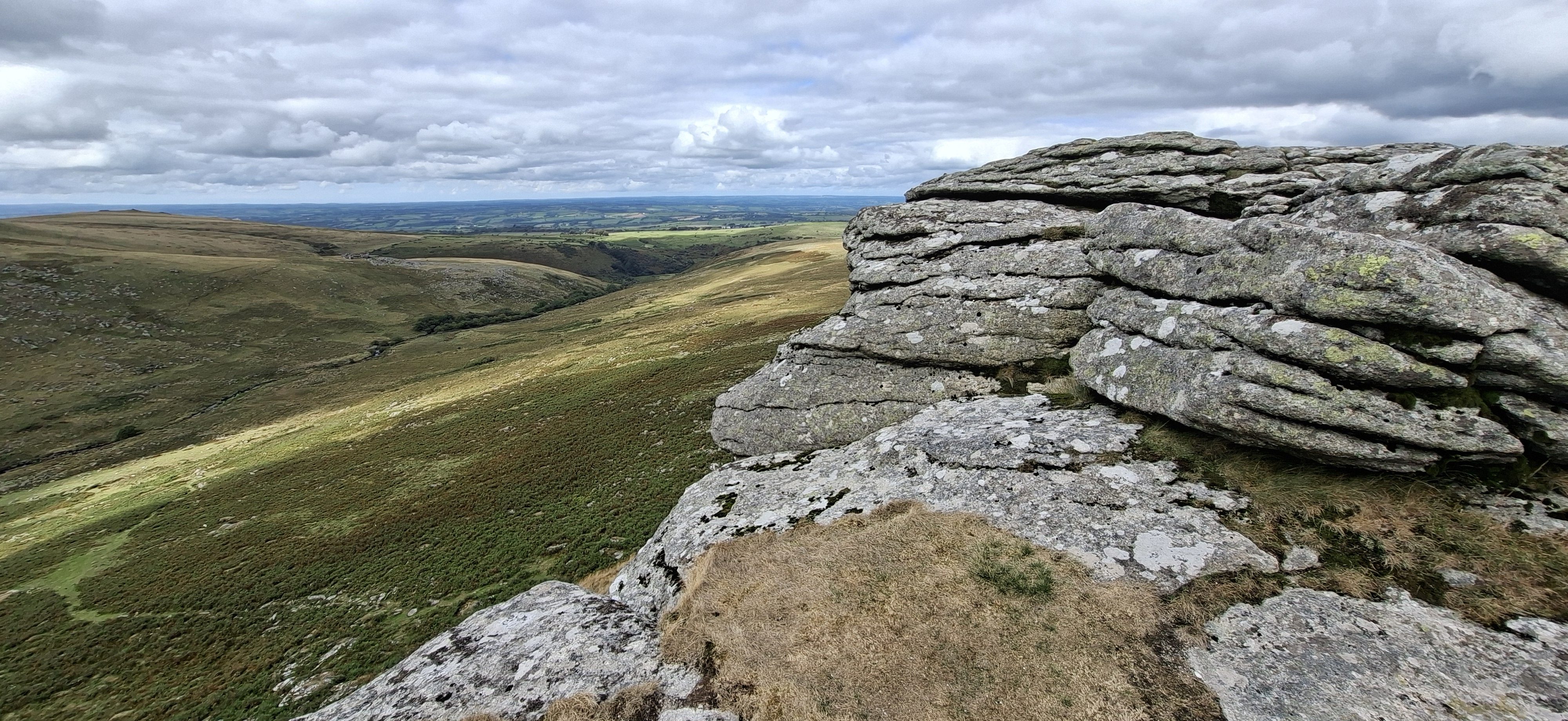
After exploring the summit, we found a sheltered spot to have our lunch as it was quite windy up there. We then had quite a steep climb uphill towards the Army hut and flagpole from which there were again stunning views across Dartmoor.
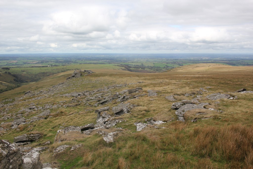
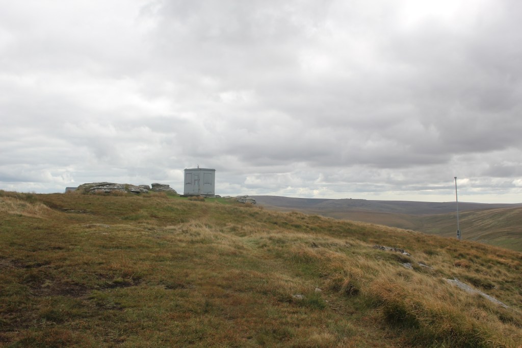
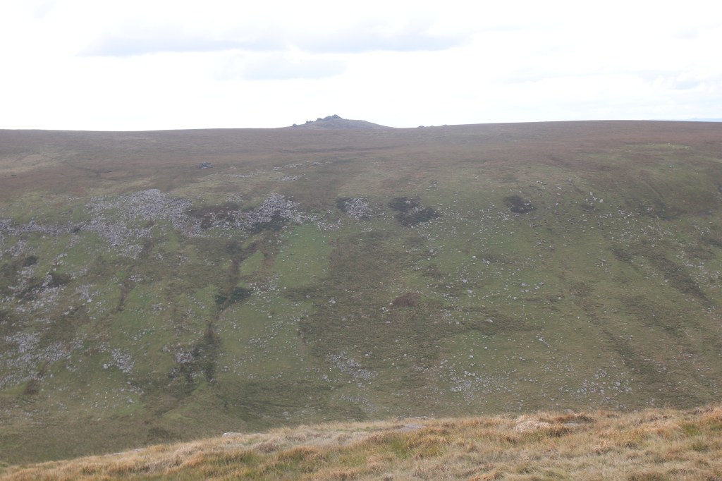
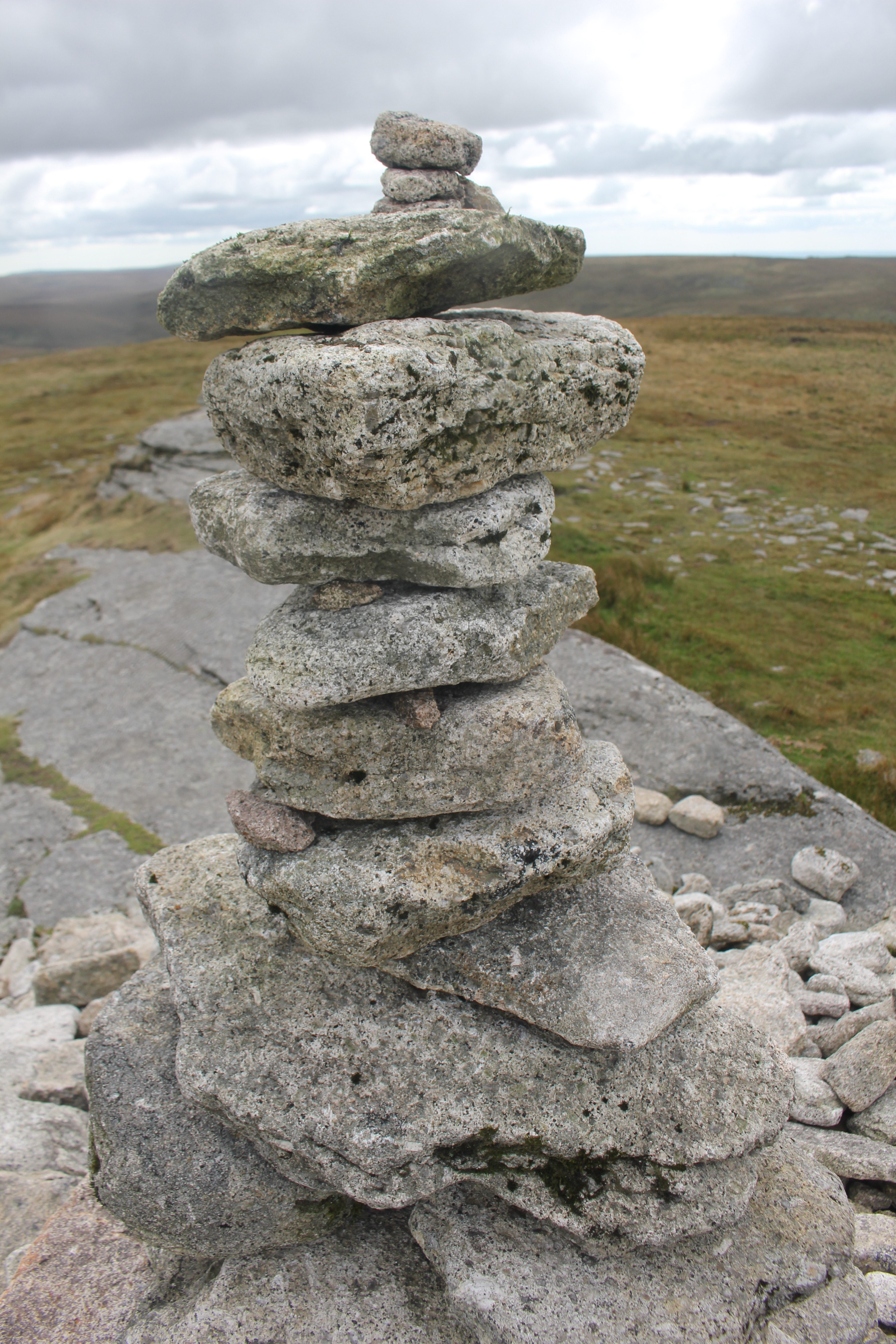
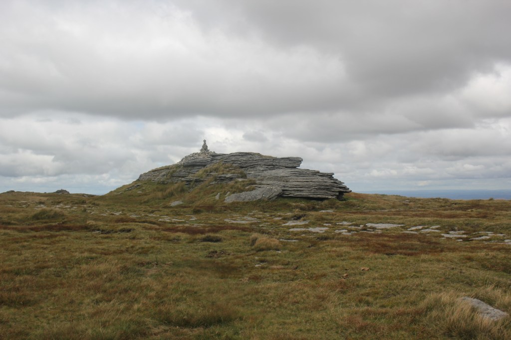
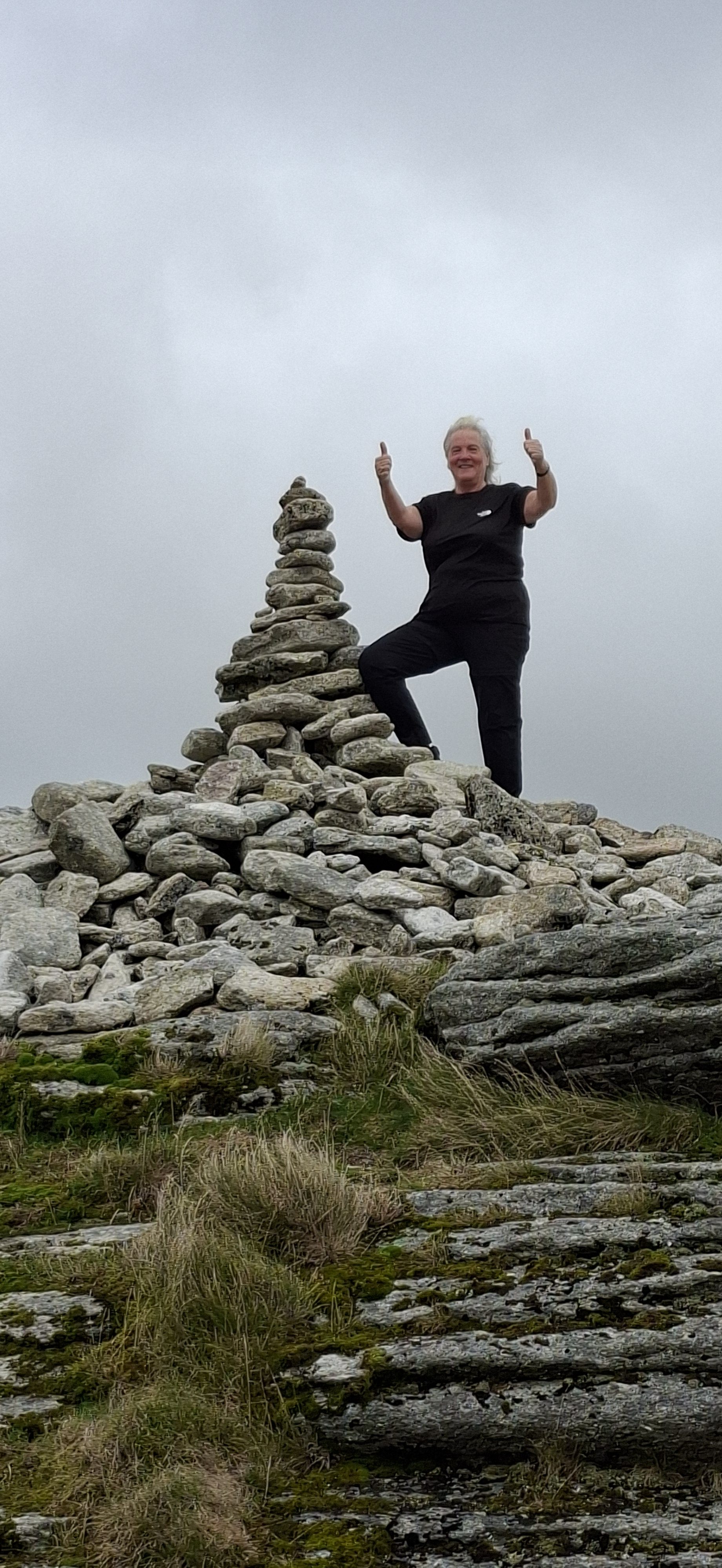
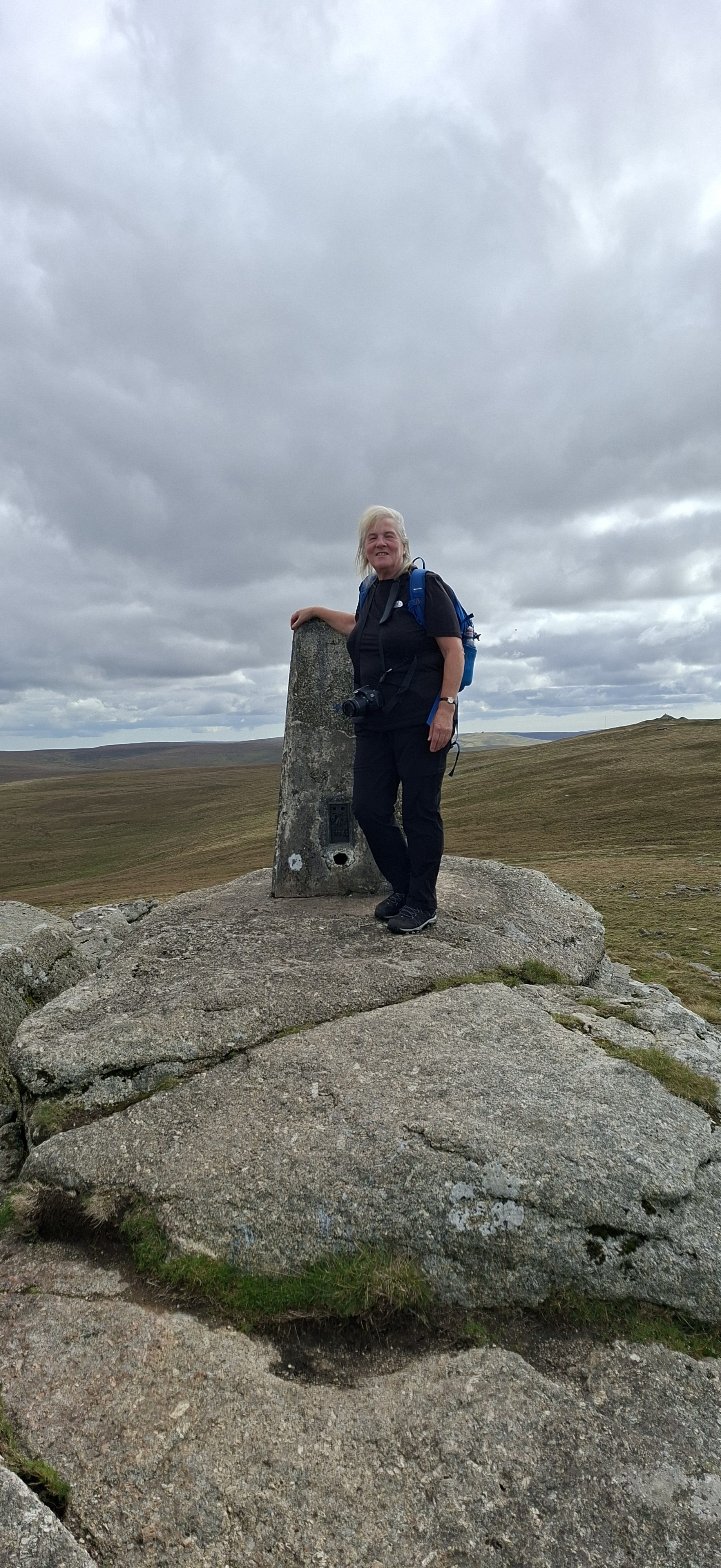
We continued along the ridge and upwards towards High Willhays, Devon’s, Dartmoor’s and the South West’s highest point at 621m (2038ft). On the summit is a cairn with some wobbly additions on the top. The obligatory photos were taken and thankfully as I had company I didn’t have to do the dreaded selfie!
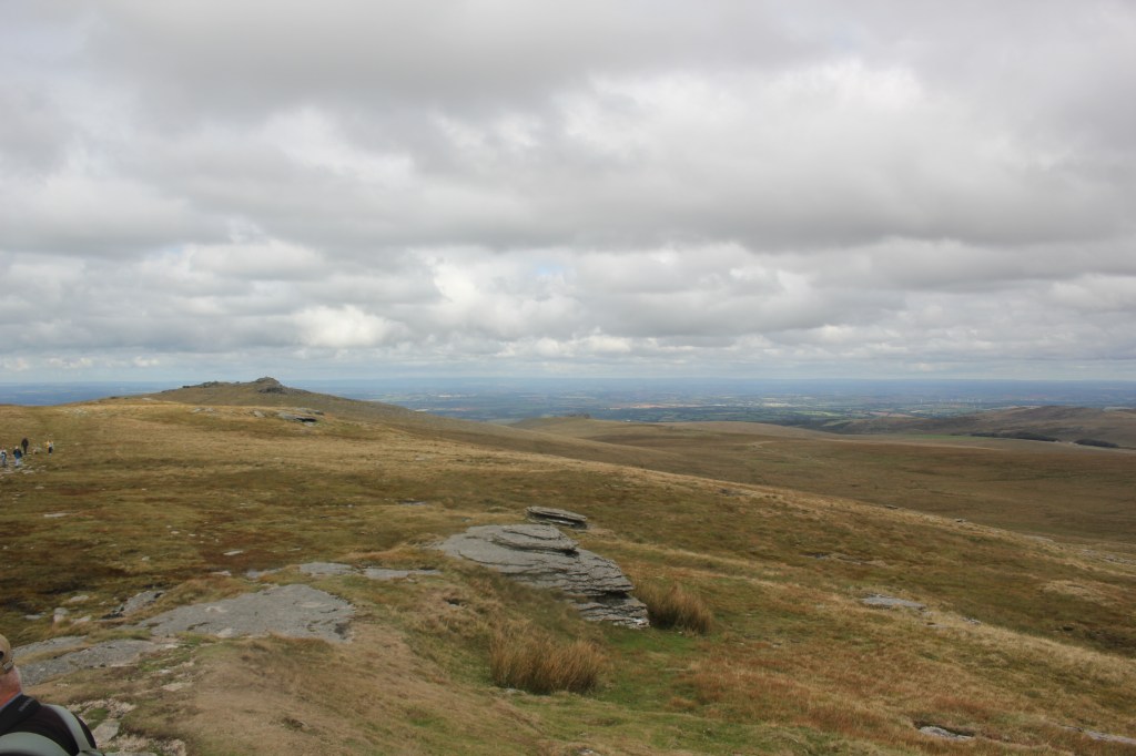
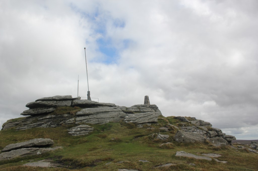
Yes Tor could be seen further along the ridge which is only 2m lower than High Willhays. A trig point and a radio mast stand on it’s summit.
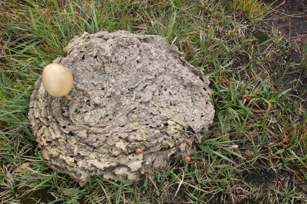
Whilst walking along the ridge we came across some interesting mushrooms growing in some old dried up cow pats!
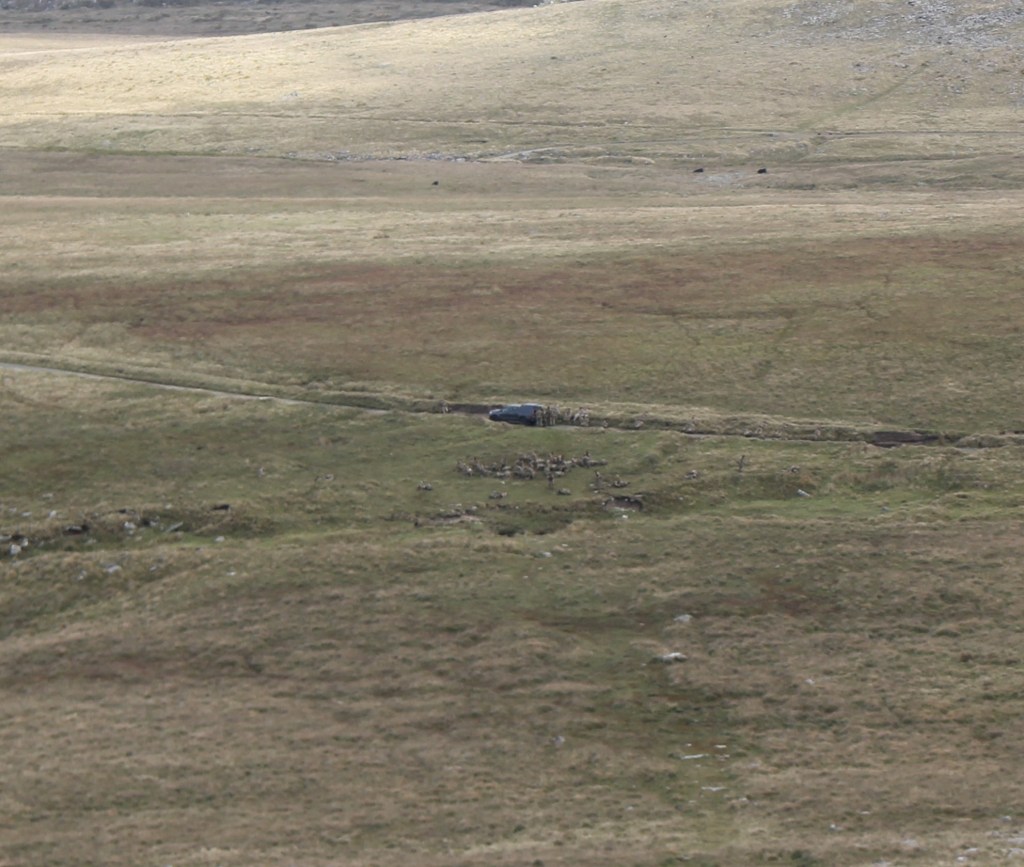
We had a wander around the summit of Yes Tor and enjoyed the views all around as it was a clear day. Some Army trainees were well camouflaged in the valley and looked like little ants. Their truck was the giveaway.
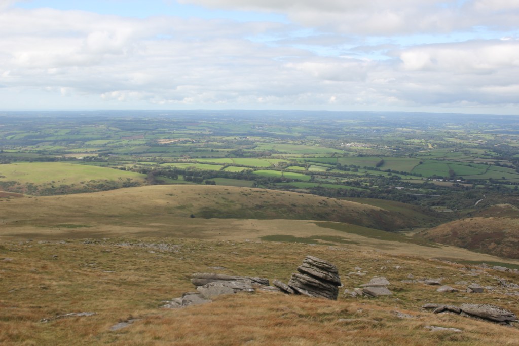
As we made our way down towards where we thought the track was we came across some interesting shaped rocks. These two looked like a dolphin and a tortoise head – it may need a little imagination!
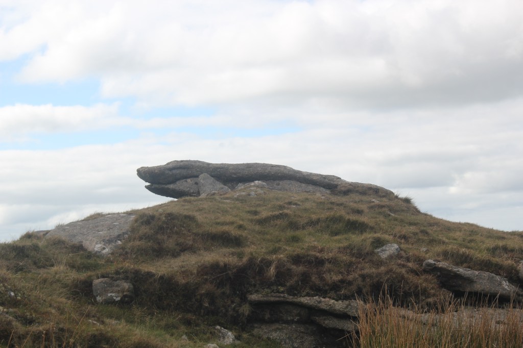
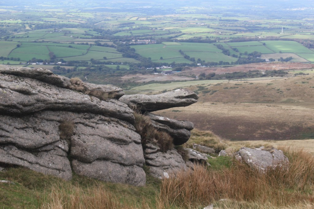
The path wasn’t obvious so we just headed down the side of the rather steep hill, trying to avoid falling over in the rocks, holes and tussocky mounds. Yours truly managed to get my foot stuck in a hole and found myself leaning very ungracefully over a large rock. Thankfully, no harm done thanks to supportive hiking boots. We really had to be careful winding our way through the sharp rocks and over some boggy ground. The sheep were so much better at it than we were and were probably laughing at us!
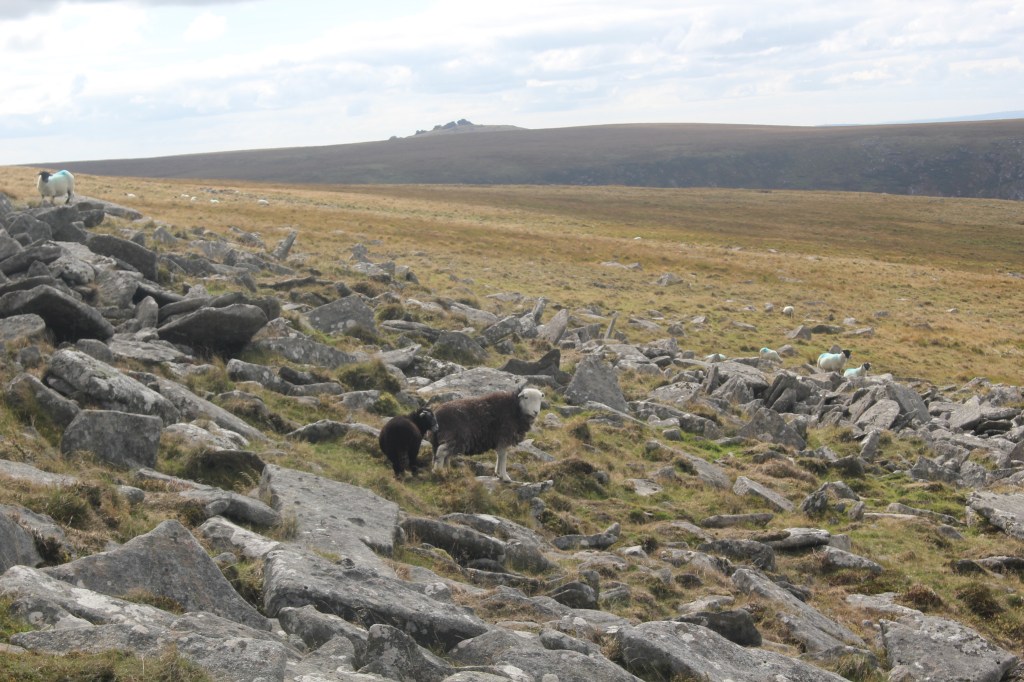
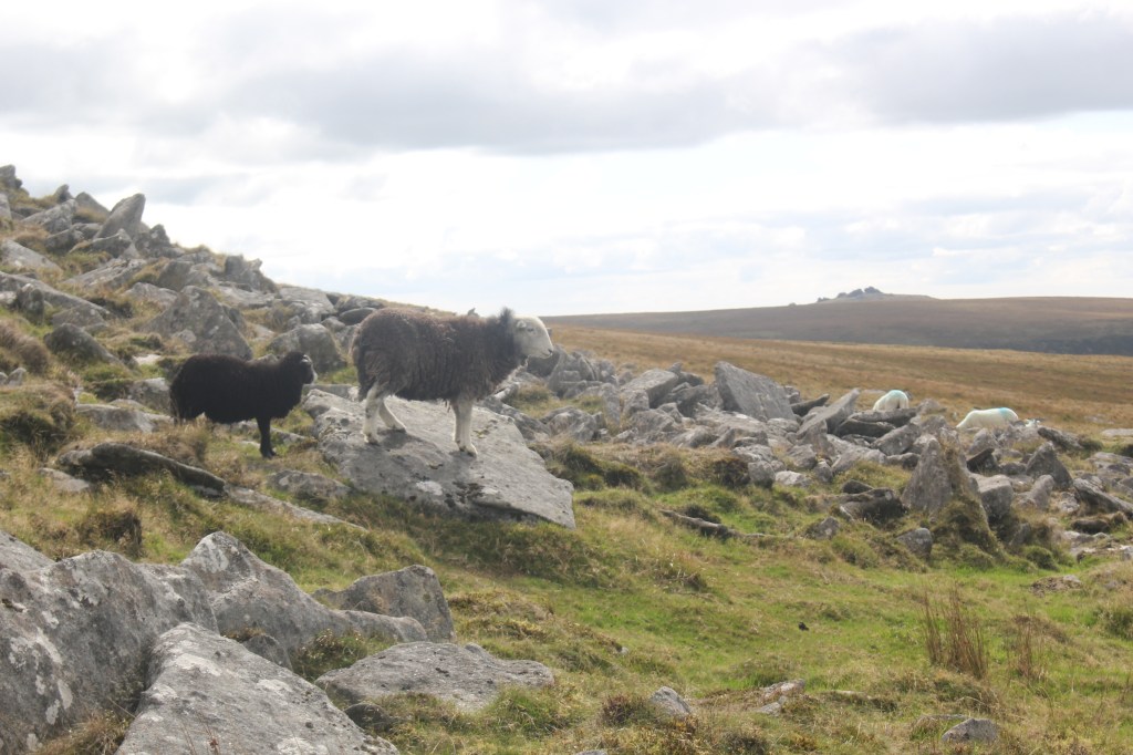
In hindsight we probably should have taken a slightly different route which would have brought us out on the original path that we should have taken on the way up. We were also glad that we had done the route in reverse as the climb up to Yes Tor is quite deceptive as you can’t see the trig point or radio mast from lower ground and it would be easy to get lost.
Eventually we made it to a wide path which we took over the top of Longstone Hill eventually bringing us back to the footpath at the reservoir and Meldon Dam. Meldon Viaduct could be seen in the distance. It stands over 151 feet high and is part of the Granite Way, a recognised cycle route. The viaduct was opened in 1874. This is a listed structure as there are now only two viaducts with this design remaining in the UK.
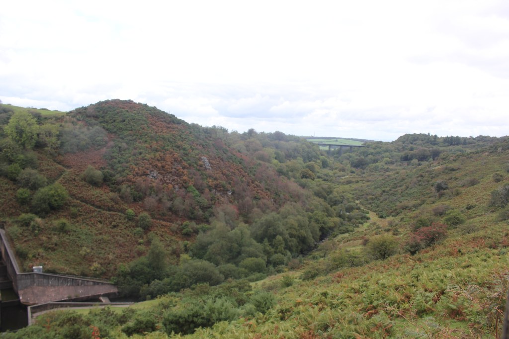
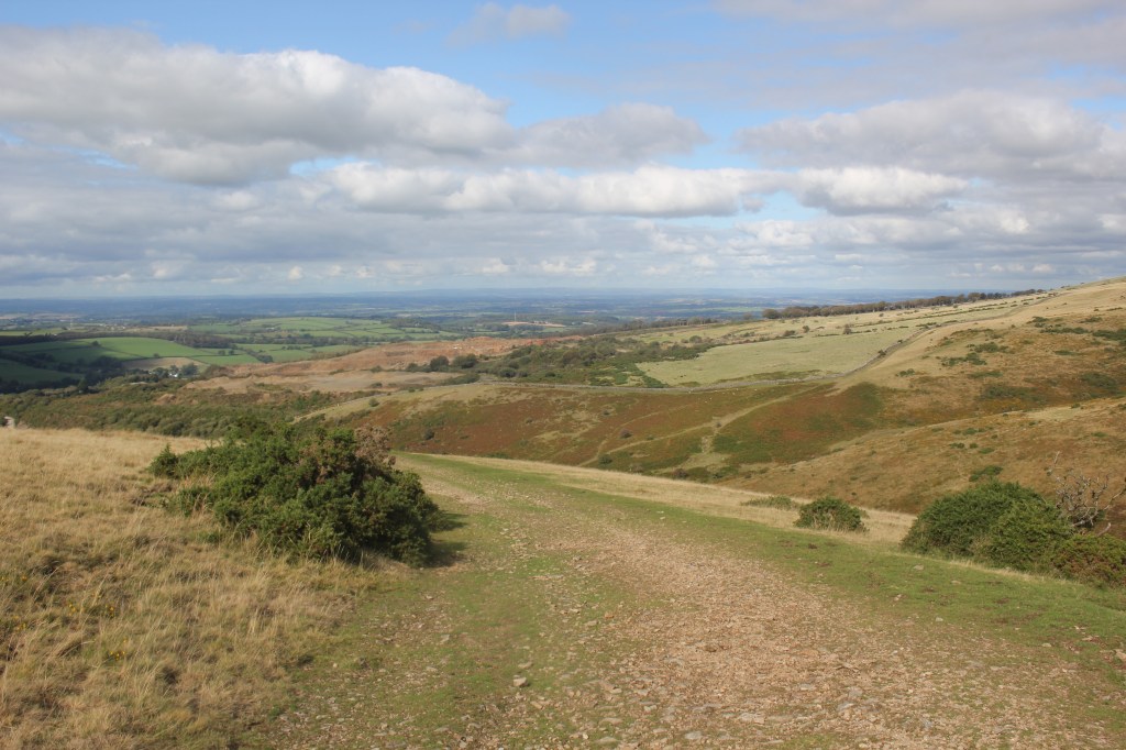
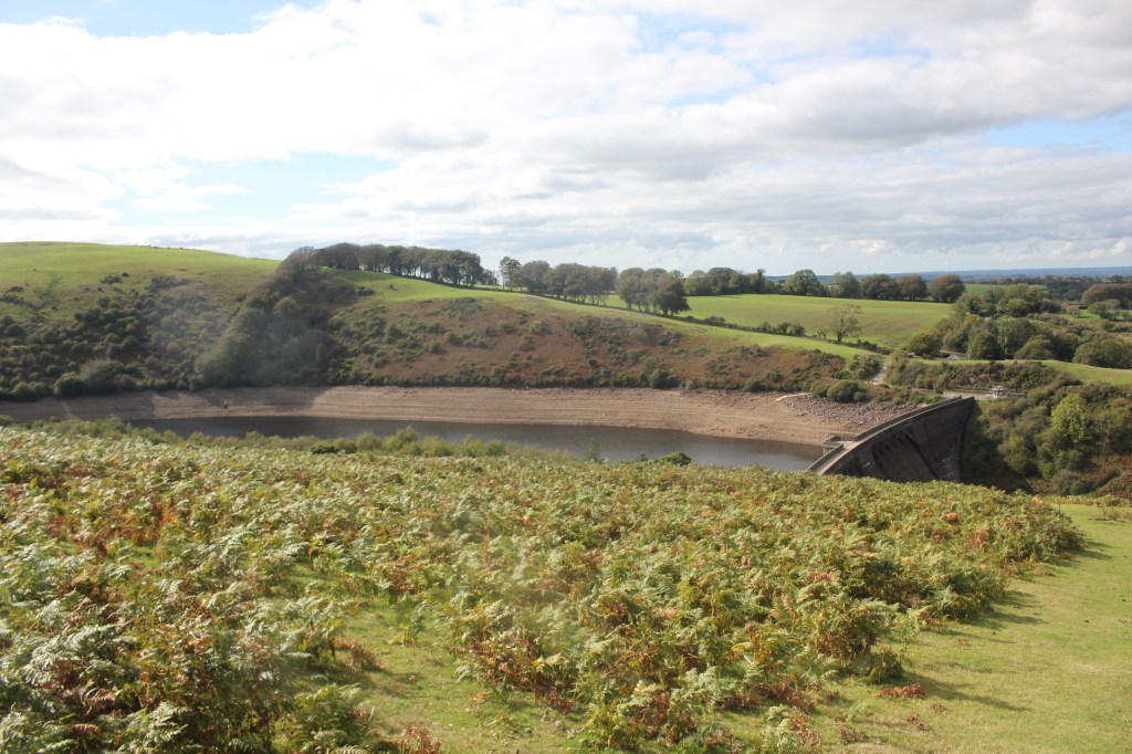
We retraced our steps over the dam and back to the car park. A total of 6.32 miles covered and a lovely walk completed.


Leave a Reply